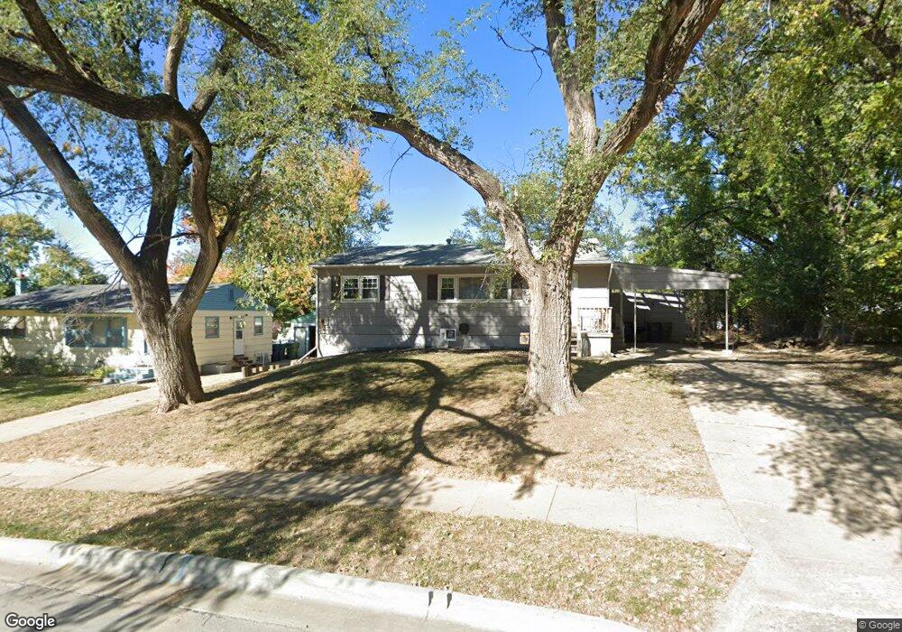
2204 Power Dr Bellevue, NE 68005
Estimated Value: $183,000 - $213,155
3
Beds
1
Bath
1,623
Sq Ft
$125/Sq Ft
Est. Value
About This Home
This home is located at 2204 Power Dr, Bellevue, NE 68005 and is currently estimated at $202,289, approximately $124 per square foot. 2204 Power Dr is a home located in Sarpy County with nearby schools including Avery Elementary School, Logan Fontenelle Middle School, and Bellevue East High School.
Ownership History
Date
Name
Owned For
Owner Type
Purchase Details
Closed on
Dec 11, 2025
Sold by
Young Evan M and Schropp Jill
Bought by
Young Evan M and Young Roger
Current Estimated Value
Purchase Details
Closed on
Nov 21, 2025
Sold by
Timmerman Jennifer N
Bought by
Young Evan M
Purchase Details
Closed on
May 19, 2011
Sold by
Phillips Amanda J
Bought by
Timmerman Jennifer N and Young Evan M
Home Financials for this Owner
Home Financials are based on the most recent Mortgage that was taken out on this home.
Original Mortgage
$97,367
Interest Rate
4.62%
Mortgage Type
FHA
Purchase Details
Closed on
Feb 9, 2006
Sold by
Allen Robert L and Allen Linda A
Bought by
Phillips Amanda J
Home Financials for this Owner
Home Financials are based on the most recent Mortgage that was taken out on this home.
Original Mortgage
$87,250
Interest Rate
6.1%
Create a Home Valuation Report for This Property
The Home Valuation Report is an in-depth analysis detailing your home's value as well as a comparison with similar homes in the area
Home Values in the Area
Average Home Value in this Area
Purchase History
| Date | Buyer | Sale Price | Title Company |
|---|---|---|---|
| Young Evan M | -- | Professional Title | |
| Young Evan M | $38,000 | Professional Title | |
| Timmerman Jennifer N | $100,000 | Clear Title & Abstract Llc | |
| Phillips Amanda J | $88,000 | Sts |
Source: Public Records
Mortgage History
| Date | Status | Borrower | Loan Amount |
|---|---|---|---|
| Previous Owner | Timmerman Jennifer N | $97,367 | |
| Previous Owner | Phillips Amanda J | $87,250 |
Source: Public Records
Tax History
| Year | Tax Paid | Tax Assessment Tax Assessment Total Assessment is a certain percentage of the fair market value that is determined by local assessors to be the total taxable value of land and additions on the property. | Land | Improvement |
|---|---|---|---|---|
| 2025 | $2,687 | $166,206 | $31,000 | $135,206 |
| 2024 | $3,018 | $154,258 | $27,000 | $127,258 |
| 2023 | $3,018 | $142,941 | $26,000 | $116,941 |
| 2022 | $2,928 | $136,042 | $26,000 | $110,042 |
| 2021 | $2,616 | $120,274 | $26,000 | $94,274 |
| 2020 | $2,407 | $110,288 | $17,000 | $93,288 |
| 2019 | $2,226 | $102,666 | $17,000 | $85,666 |
| 2018 | $2,080 | $98,485 | $17,000 | $81,485 |
| 2017 | $2,002 | $94,169 | $17,000 | $77,169 |
| 2016 | $1,957 | $94,059 | $17,000 | $77,059 |
| 2015 | $1,944 | $93,977 | $17,000 | $76,977 |
| 2014 | $1,930 | $92,692 | $17,000 | $75,692 |
| 2012 | -- | $93,346 | $17,000 | $76,346 |
Source: Public Records
Map
Nearby Homes
- 1705 Gregg Rd
- 1811 Brenda Dr
- 1104 Thurston Ave
- 10102 S 14th St
- 612 Nob Hill Terrace
- 1206 Skyview Dr
- 1104 Bruce Cir
- 2006 Pleasantview Ln
- 9804 S 20th St
- 1217 Wilroy Rd
- LOT 11A1B Tbd
- 1314 Hansen Ave
- 1404 Thomas Dr
- 1302 Wilroy Rd Unit 1
- 2804 Greensboro Ave
- 2015 Geri Cir
- 703 Vernon Ave
- 2021 Gindy Cir
- tbd Ridgewood Dr
- 1103 Sunny Ln
- 2206 Power Dr
- 202 Leisure Ln
- 106 Leisure Ln
- 2208 Power Dr
- 2209 Power Dr
- 2205 Power Dr
- 105 Fort Crook Rd S
- 2207 Power Dr Unit 2209
- 104 Leisure Ln
- 2210 Power Dr Unit 2302
- 2808 Power Dr
- 2203 Power Dr
- 2112 Power Dr
- 2112 Leisure Ln
- 201 Leisure Ln
- 2201 Power Dr
- 2107 Leisure Ln
- 2301 Power Dr
- 2303 Power Dr
- 2110 Power Dr