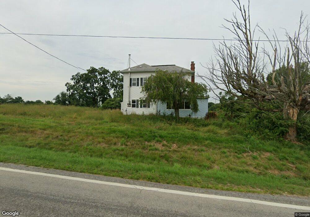
2204 State Route 511 Perrysville, OH 44864
Estimated Value: $217,000 - $611,000
3
Beds
1
Bath
2,144
Sq Ft
$164/Sq Ft
Est. Value
About This Home
This home is located at 2204 State Route 511, Perrysville, OH 44864 and is currently estimated at $351,961, approximately $164 per square foot. 2204 State Route 511 is a home located in Ashland County with nearby schools including Hillsdale Elementary School, Hillsdale Middle School, and Hillsdale High School.
Ownership History
Date
Name
Owned For
Owner Type
Purchase Details
Closed on
Sep 1, 2016
Sold by
Smalley Family Trust
Bought by
Ashby Jesse L
Current Estimated Value
Home Financials for this Owner
Home Financials are based on the most recent Mortgage that was taken out on this home.
Original Mortgage
$48,600
Outstanding Balance
$22,516
Interest Rate
3.48%
Mortgage Type
New Conventional
Estimated Equity
$329,445
Purchase Details
Closed on
Jan 1, 1990
Bought by
Smalley Charles E
Create a Home Valuation Report for This Property
The Home Valuation Report is an in-depth analysis detailing your home's value as well as a comparison with similar homes in the area
Home Values in the Area
Average Home Value in this Area
Purchase History
| Date | Buyer | Sale Price | Title Company |
|---|---|---|---|
| Ashby Jesse L | $57,200 | Wayne Cnty Title Agcy | |
| Smalley Charles E | -- | -- |
Source: Public Records
Mortgage History
| Date | Status | Borrower | Loan Amount |
|---|---|---|---|
| Open | Ashby Jesse L | $48,600 |
Source: Public Records
Tax History Compared to Growth
Tax History
| Year | Tax Paid | Tax Assessment Tax Assessment Total Assessment is a certain percentage of the fair market value that is determined by local assessors to be the total taxable value of land and additions on the property. | Land | Improvement |
|---|---|---|---|---|
| 2024 | $2,422 | $74,160 | $27,020 | $47,140 |
| 2023 | $2,422 | $74,160 | $27,020 | $47,140 |
| 2022 | $2,108 | $51,150 | $18,640 | $32,510 |
| 2021 | $2,111 | $51,150 | $18,640 | $32,510 |
| 2020 | $1,977 | $51,150 | $18,640 | $32,510 |
| 2019 | $1,724 | $43,770 | $15,120 | $28,650 |
| 2018 | $1,714 | $43,770 | $15,120 | $28,650 |
| 2017 | $1,157 | $43,770 | $15,120 | $28,650 |
| 2016 | $1,157 | $38,070 | $13,150 | $24,920 |
| 2015 | $1,143 | $38,070 | $13,150 | $24,920 |
| 2013 | $1,244 | $39,980 | $13,410 | $26,570 |
Source: Public Records
Map
Nearby Homes
- 1048 Township Road 2156
- 0 Township Road 925
- 1106 County Road 30a
- 820 County Road 30a
- 968 Township Road 2506
- 1183 County Road 30a
- 19 Maine St
- 0 Applegate Rd
- 0 Mount Zion Rd Unit 9069748
- 150 E Main St
- 2428 Applegate Rd
- 0 Twp Rd 1806 Unit 11591470
- 0 Ashland County Road 2175
- 0 Ashland County Road 2175
- 945 Pike Dr
- 609 Ohio 95
- 560 Township Road 2402
- 1845 County Road 655
- 3290 Shad Dr W
- 2193 State Route 511
- 2193 Ohio 511
- 994 Township Road 2206
- 2189 Ohio 511
- 2189 State Route 511
- 2185 Ohio 511
- 2220 State Route 511
- 986 Township Road 2206
- 2185 State Route 511
- 978 Township Road 2206
- 2173 State Route 511
- 2234 Ohio 511
- 2163 State Route 511
- 2163A State Route 511
- 2240 State Route 511
- 962 Township Road 2206
- 2244 State Route 511
- 2159 State Route 511
- 2159 Ohio 511
- 1016 County Road 2256