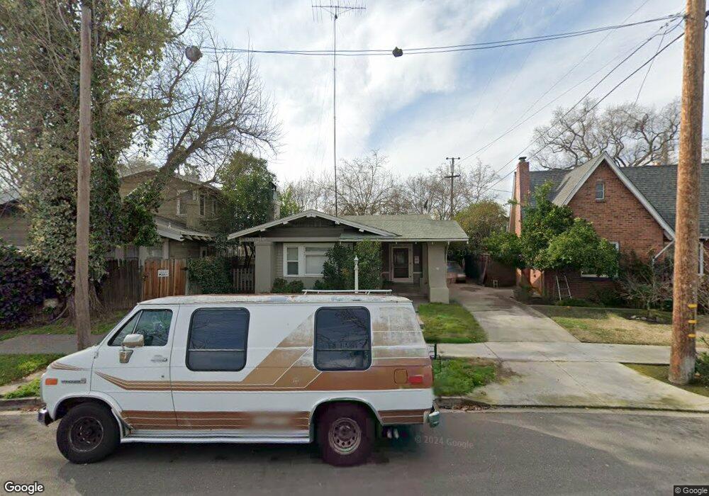
2209 Dwight Way Stockton, CA 95204
Midtown NeighborhoodEstimated Value: $347,000 - $395,000
2
Beds
1
Bath
1,262
Sq Ft
$297/Sq Ft
Est. Value
About This Home
This home is located at 2209 Dwight Way, Stockton, CA 95204 and is currently estimated at $374,944, approximately $297 per square foot. 2209 Dwight Way is a home located in San Joaquin County with nearby schools including El Dorado Elementary School, Wilson Elementary School, and Cleveland Elementary School.
Ownership History
Date
Name
Owned For
Owner Type
Purchase Details
Closed on
Dec 6, 1999
Sold by
Hutchison Steven J and Hutchison Felisa L
Bought by
Thompson Paul F and Anne Thompson A
Current Estimated Value
Purchase Details
Closed on
Nov 21, 1994
Sold by
Witt Theodore and D Bollinger Witt C
Bought by
Hutchison Steven James and Hutchison Felisa L
Home Financials for this Owner
Home Financials are based on the most recent Mortgage that was taken out on this home.
Original Mortgage
$107,100
Interest Rate
8.92%
Mortgage Type
Assumption
Create a Home Valuation Report for This Property
The Home Valuation Report is an in-depth analysis detailing your home's value as well as a comparison with similar homes in the area
Home Values in the Area
Average Home Value in this Area
Purchase History
| Date | Buyer | Sale Price | Title Company |
|---|---|---|---|
| Thompson Paul F | $73,679 | -- | |
| Hutchison Steven James | $105,000 | Alliance Title Co |
Source: Public Records
Mortgage History
| Date | Status | Borrower | Loan Amount |
|---|---|---|---|
| Previous Owner | Hutchison Steven James | $107,100 |
Source: Public Records
Tax History Compared to Growth
Tax History
| Year | Tax Paid | Tax Assessment Tax Assessment Total Assessment is a certain percentage of the fair market value that is determined by local assessors to be the total taxable value of land and additions on the property. | Land | Improvement |
|---|---|---|---|---|
| 2025 | $2,803 | $161,368 | $69,157 | $92,211 |
| 2024 | $3,668 | $158,204 | $67,801 | $90,403 |
| 2023 | $3,340 | $155,103 | $66,472 | $88,631 |
| 2022 | $1,906 | $152,063 | $65,169 | $86,894 |
| 2021 | $1,832 | $149,083 | $63,892 | $85,191 |
| 2020 | $1,867 | $147,555 | $63,237 | $84,318 |
| 2019 | $1,860 | $144,663 | $61,998 | $82,665 |
| 2018 | $1,826 | $141,828 | $60,783 | $81,045 |
| 2017 | $1,730 | $139,048 | $59,592 | $79,456 |
| 2016 | $1,761 | $136,323 | $58,424 | $77,899 |
| 2014 | $1,676 | $131,645 | $56,419 | $75,226 |
Source: Public Records
Map
Nearby Homes
- 674 N Tuxedo Ave
- 625 N Central Ave
- 465 N Central Ave
- 1019 S Country Club Blvd
- 409 S Central Ave
- 705 W Elm St
- 635 N Regent St
- 1068 Middlefield Ave
- 2625 Westminister Ave
- 1030 Elmwood Ave
- 1604 N Stockton St
- 1860 Elizabeth Ave
- 745 W Harding Way
- 960 Bristol Ave
- 936 W Elm St
- 930 W Harding Way
- 1120 W Walnut St
- 1147 Elmwood Ave
- 1128 W Walnut St
- 1060 W Monterey Ave
- 705 S Tuxedo Ave
- 2221 Dwight Way
- 2222 Crafton Way
- 2230 Crafton Way
- 2225 Dwight Way
- 2240 Crafton Way
- 733 S Tuxedo Ave
- 2210 Dwight Way
- 2233 Dwight Way
- 2218 Dwight Way
- 702 S Tuxedo Ave
- 710 S Tuxedo Ave
- 718 S Tuxedo Ave
- 690 N Tuxedo Ave
- 726 N Tuxedo Ave
- 728 S Tuxedo Ave
- 686 S Tuxedo Ave
- 673 S Tuxedo Ave
- 2260 Crafton Way
- 2233 Crafton Way