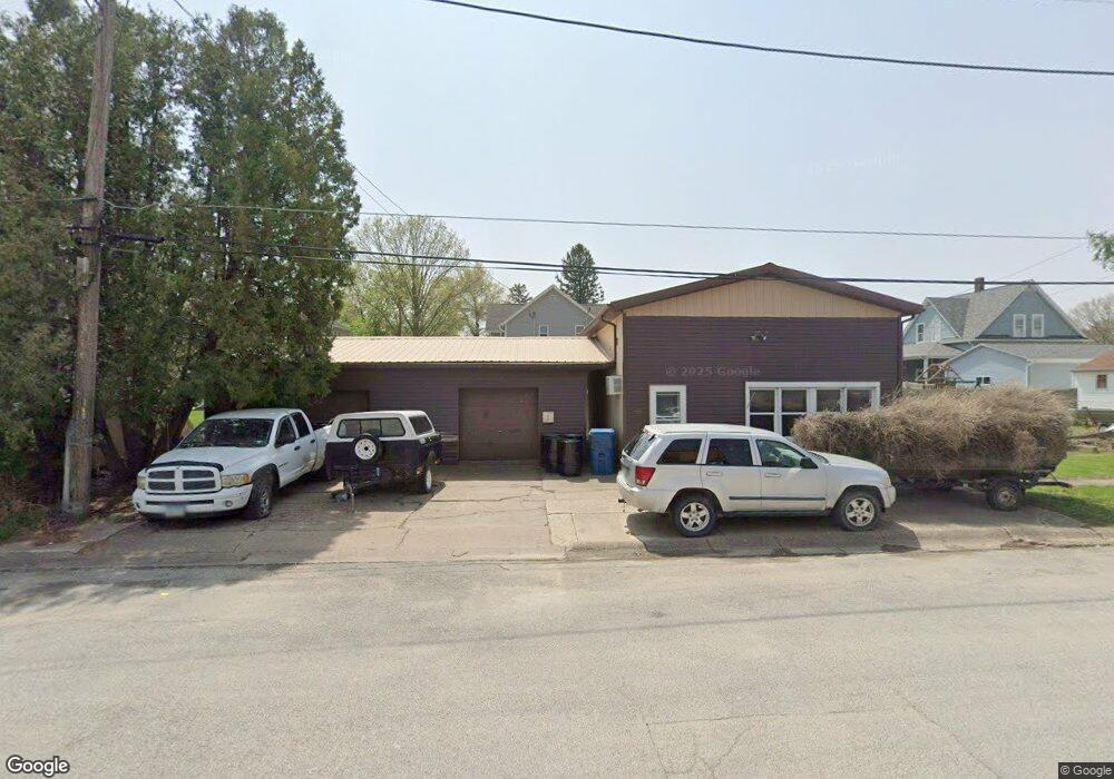
221 E Bryant St Walcott, IA 52773
Estimated Value: $112,000 - $203,000
--
Bed
1
Bath
960
Sq Ft
$164/Sq Ft
Est. Value
About This Home
This home is located at 221 E Bryant St, Walcott, IA 52773 and is currently estimated at $157,284, approximately $163 per square foot. 221 E Bryant St is a home located in Scott County with nearby schools including Walcott Elementary School, Walcott Intermediate School, and West High School.
Ownership History
Date
Name
Owned For
Owner Type
Purchase Details
Closed on
Oct 10, 2012
Sold by
Fennelly Investments Llp
Bought by
Rees Jeffrey L
Current Estimated Value
Purchase Details
Closed on
Oct 9, 2008
Sold by
Vandewalle Richard and Vandewalle Lola
Bought by
Rees Jeffrey L
Purchase Details
Closed on
Jan 20, 2006
Sold by
Vandewalle Richard and Vandewalle Lola
Bought by
Rees Jeffrey
Purchase Details
Closed on
Jan 28, 2002
Sold by
Liv Burger Dorothy E and Liv Dorothy E Burger Revocable
Bought by
Vandewalle Lola
Create a Home Valuation Report for This Property
The Home Valuation Report is an in-depth analysis detailing your home's value as well as a comparison with similar homes in the area
Home Values in the Area
Average Home Value in this Area
Purchase History
| Date | Buyer | Sale Price | Title Company |
|---|---|---|---|
| Rees Jeffrey L | $75,000 | None Available | |
| Rees Jeffrey L | $50,000 | None Available | |
| Rees Jeffrey | $50,000 | None Available | |
| Vandewalle Lola | $25,500 | None Available |
Source: Public Records
Mortgage History
| Date | Status | Borrower | Loan Amount |
|---|---|---|---|
| Closed | Rees Jeffrey L | $0 |
Source: Public Records
Tax History Compared to Growth
Tax History
| Year | Tax Paid | Tax Assessment Tax Assessment Total Assessment is a certain percentage of the fair market value that is determined by local assessors to be the total taxable value of land and additions on the property. | Land | Improvement |
|---|---|---|---|---|
| 2025 | $1,430 | $99,900 | $8,800 | $91,100 |
| 2024 | $1,406 | $97,800 | $8,800 | $89,000 |
| 2023 | $1,248 | $97,800 | $8,800 | $89,000 |
| 2022 | $1,240 | $69,660 | $9,320 | $60,340 |
| 2021 | $1,240 | $69,660 | $9,320 | $60,340 |
| 2020 | $1,100 | $62,630 | $9,320 | $53,310 |
| 2019 | $1,134 | $61,110 | $8,960 | $52,150 |
| 2018 | $1,110 | $61,110 | $8,960 | $52,150 |
| 2017 | $340 | $61,110 | $8,960 | $52,150 |
| 2016 | $1,100 | $60,630 | $0 | $0 |
| 2015 | $1,100 | $0 | $0 | $0 |
| 2014 | $1,068 | $57,910 | $0 | $0 |
| 2013 | $1,050 | $0 | $0 | $0 |
| 2012 | -- | $57,910 | $8,960 | $48,950 |
Source: Public Records
Map
Nearby Homes
- 413 S Grove St
- 423 S Grove St
- 334 E James St
- 322 W Lincoln St
- 330 N Main St
- 781 W Walcott Rd Unit 32
- 3792 110th St
- 702 N Juniata St
- 501 Prairie Meadow Dr
- 680 Sweet Wood Ln
- 508 Prairie Meadow Dr
- 3881 Highway 61
- 126 S Genessee St
- 423 Kevin Rd
- 401 Dolan Dr
- 8989 241st St
- 13109 83rd Ave
- 1335 N Utah Ave
- 12505 70th Ave
- 5908 Alec Ave
- 224 E Durant St
- 234 E Durant St
- 203 E Bryant St
- 222 E Bryant St
- 148 S Downey St
- 304 E Durant St
- 223 E Durant St
- 233 E Durant St
- 131 E Bryant St
- 203 E Durant St
- 125 E Bryant St
- 125 E Bryant St Unit 125.5
- 312 E Durant St
- 139 E Durant St
- 305 E Durant St
- 324 E Durant St
- 129 E Durant St
- 212 E Flagg St
- 340 S Downey St
- 331 S Henry St