221 Macdougall Ln Unit C Blacklick, OH 43004
East Broad NeighborhoodEstimated Value: $165,000 - $192,000
2
Beds
1
Bath
896
Sq Ft
$197/Sq Ft
Est. Value
About This Home
This home is located at 221 Macdougall Ln Unit C, Blacklick, OH 43004 and is currently estimated at $176,542, approximately $197 per square foot. 221 Macdougall Ln Unit C is a home located in Franklin County with nearby schools including Olde Orchard Elementary School, Sherwood Middle School, and Walnut Ridge High School.
Ownership History
Date
Name
Owned For
Owner Type
Purchase Details
Closed on
Feb 14, 2000
Sold by
Moening Scott A and Moening Lisa R
Bought by
Kumar Tandan Veeresh and Tandan Rani
Current Estimated Value
Purchase Details
Closed on
Feb 7, 1995
Sold by
Qualstan Corp
Bought by
Moening Scott A and Moening Lisa
Home Financials for this Owner
Home Financials are based on the most recent Mortgage that was taken out on this home.
Original Mortgage
$74,100
Interest Rate
9.24%
Mortgage Type
FHA
Create a Home Valuation Report for This Property
The Home Valuation Report is an in-depth analysis detailing your home's value as well as a comparison with similar homes in the area
Home Values in the Area
Average Home Value in this Area
Purchase History
| Date | Buyer | Sale Price | Title Company |
|---|---|---|---|
| Kumar Tandan Veeresh | $60,500 | -- | |
| Moening Scott A | $76,200 | -- |
Source: Public Records
Mortgage History
| Date | Status | Borrower | Loan Amount |
|---|---|---|---|
| Closed | Moening Scott A | $74,100 |
Source: Public Records
Tax History Compared to Growth
Tax History
| Year | Tax Paid | Tax Assessment Tax Assessment Total Assessment is a certain percentage of the fair market value that is determined by local assessors to be the total taxable value of land and additions on the property. | Land | Improvement |
|---|---|---|---|---|
| 2024 | $1,696 | $49,000 | $9,450 | $39,550 |
| 2023 | $1,668 | $49,000 | $9,450 | $39,550 |
| 2022 | $984 | $28,670 | $3,820 | $24,850 |
| 2021 | $987 | $28,670 | $3,820 | $24,850 |
| 2020 | $989 | $28,670 | $3,820 | $24,850 |
| 2019 | $590 | $18,480 | $2,450 | $16,030 |
| 2018 | $584 | $18,480 | $2,450 | $16,030 |
| 2017 | $614 | $18,480 | $2,450 | $16,030 |
| 2016 | $638 | $18,380 | $2,490 | $15,890 |
| 2015 | $579 | $18,380 | $2,490 | $15,890 |
| 2014 | $581 | $18,380 | $2,490 | $15,890 |
| 2013 | $382 | $21,595 | $2,905 | $18,690 |
Source: Public Records
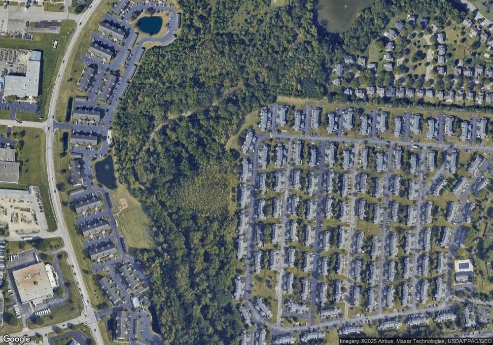
Map
Nearby Homes
- 240 MacEnroe Dr Unit 71D
- 201 MacEnroe Dr Unit 66C
- 184 MacAndrews Way Unit 44E
- 167 MacEnroe Dr Unit 32B
- 186 Malloy Ln Unit 25c
- 184 Malloy Ln Unit 25D
- 170 Malloy Ln Unit 24C
- 7204 Kirkdale Dr Unit 36C
- 7452 Call Rd Unit 99F
- 154 Hawkins Ln
- 208 Glenkirk Dr Unit 104B
- 489 Stone Shadow Dr
- 160 Strathsprey Dr
- 192 Strathsprey Dr
- 6924 Shady Rock Ln
- 7589 Swindon St
- 417 Hannifin Dr
- 625 Streamwater Dr
- 273 Shallotte Dr
- 7288 Serenoa Dr
- 223 Macdougall Ln
- 223 Macdougall Ln Unit 53D
- 225 Macdougall Ln
- 219 Macdougall Ln Unit 53B
- 227 Macdougall Ln
- 217 Macdougall Ln Unit 53A
- 241 Macdougall Ln Unit 55E
- 220 Macdougall Ln Unit 52B
- 228 Macdougall Ln Unit 54F
- 211 Macdougall Ln Unit 51F
- 233 Macdougall Ln Unit 65A
- 233 Macdougall Ln Unit 55A
- 230 Macdougall Ln
- 230 Macdougall Ln Unit 54e
- 222 Macdougall Ln
- 222 Macdougall Ln Unit 52A
- 218 Macdougall Ln Unit 52C
- 232 Macdougall Ln Unit 54D
- 235 Macdougall Ln
- 216 Macdougall Ln