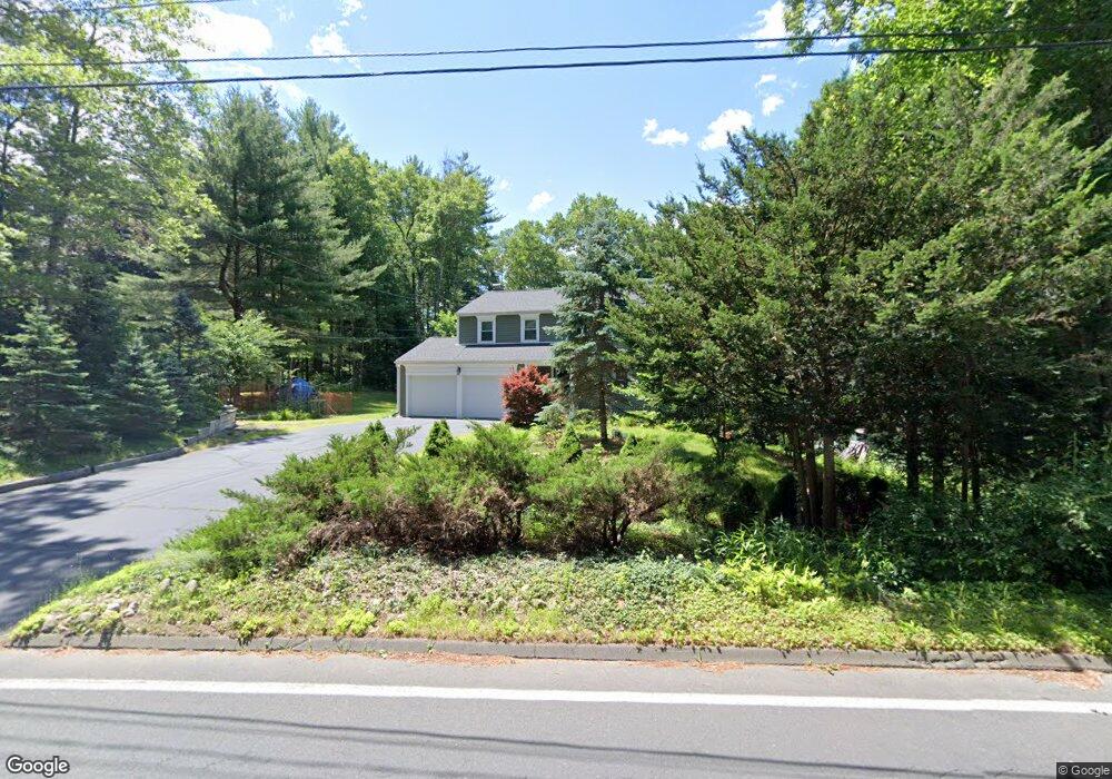
221 Stratton Brook Rd West Simsbury, CT 06092
Estimated Value: $566,000 - $599,000
5
Beds
3
Baths
2,118
Sq Ft
$272/Sq Ft
Est. Value
About This Home
This home is located at 221 Stratton Brook Rd, West Simsbury, CT 06092 and is currently estimated at $576,647, approximately $272 per square foot. 221 Stratton Brook Rd is a home located in Hartford County with nearby schools including Tootin' Hills School, Henry James Memorial School, and Simsbury High School.
Ownership History
Date
Name
Owned For
Owner Type
Purchase Details
Closed on
Jun 22, 2007
Sold by
Curran R Michael
Bought by
Curran R Michael
Current Estimated Value
Purchase Details
Closed on
Jul 2, 2003
Sold by
Chen Wei and Xie Ning
Bought by
Marwescu Nicole
Home Financials for this Owner
Home Financials are based on the most recent Mortgage that was taken out on this home.
Original Mortgage
$167,500
Interest Rate
5.46%
Purchase Details
Closed on
Mar 1, 1996
Sold by
Nordby Hanne and Schmidt Erling
Bought by
Chen Wei and Xie Ning
Home Financials for this Owner
Home Financials are based on the most recent Mortgage that was taken out on this home.
Original Mortgage
$140,000
Interest Rate
7.02%
Mortgage Type
Unknown
Create a Home Valuation Report for This Property
The Home Valuation Report is an in-depth analysis detailing your home's value as well as a comparison with similar homes in the area
Home Values in the Area
Average Home Value in this Area
Purchase History
| Date | Buyer | Sale Price | Title Company |
|---|---|---|---|
| Curran R Michael | $129,700 | -- | |
| Marwescu Nicole | $267,500 | -- | |
| Chen Wei | $175,000 | -- |
Source: Public Records
Mortgage History
| Date | Status | Borrower | Loan Amount |
|---|---|---|---|
| Previous Owner | Chen Wei | $167,500 | |
| Previous Owner | Chen Wei | $45,000 | |
| Previous Owner | Chen Wei | $140,000 |
Source: Public Records
Tax History Compared to Growth
Tax History
| Year | Tax Paid | Tax Assessment Tax Assessment Total Assessment is a certain percentage of the fair market value that is determined by local assessors to be the total taxable value of land and additions on the property. | Land | Improvement |
|---|---|---|---|---|
| 2025 | $9,072 | $265,580 | $71,680 | $193,900 |
| 2024 | $8,846 | $265,580 | $71,680 | $193,900 |
| 2023 | $8,451 | $265,580 | $71,680 | $193,900 |
| 2022 | $8,310 | $215,120 | $81,610 | $133,510 |
| 2021 | $8,310 | $215,120 | $81,610 | $133,510 |
| 2020 | $7,979 | $215,120 | $81,610 | $133,510 |
| 2019 | $8,028 | $215,120 | $81,610 | $133,510 |
| 2018 | $8,086 | $215,120 | $81,610 | $133,510 |
| 2017 | $7,651 | $197,390 | $81,620 | $115,770 |
| 2016 | $7,327 | $197,390 | $81,620 | $115,770 |
| 2015 | $7,327 | $197,390 | $81,620 | $115,770 |
| 2014 | $7,331 | $197,390 | $81,620 | $115,770 |
Source: Public Records
Map
Nearby Homes
- 18 Meadowlark Rd
- 16 Stratton Forest Way
- 10 Sachems Trail
- 8 Quorn Hunt Rd
- 301 Bushy Hill Rd
- 3 Stebbins Brook Ln
- 4 Stebbins Brook Ln
- 15 Sand Hill Rd
- 40 Firetown Rd Unit 39
- 1 West St Unit 206
- 395 Bushy Hill Rd
- 308 Hopmeadow St
- 48 Library Ln Unit 48
- 3 Minister Brook Dr
- 269 W Mountain Rd
- 143 N Mountain Rd
- 8 Crane Place
- 23 Red Fox Run
- 21 Christmas Tree Hill
- 15 Red Fox Run
- 219 Stratton Brook Rd
- 223 Stratton Brook Rd
- 204 Stratton Brook Rd
- 217 Stratton Brook Rd
- 5 Pondside Ln
- 225 Stratton Brook Rd
- 198 Stratton Brook Rd
- 7 Pondside Ln
- 215 Stratton Brook Rd
- 4 Pondside Ln
- 196 Stratton Brook Rd
- 8 Pondside Ln
- 227 Stratton Brook Rd
- 10 Pondside Ln
- 33 Fawnbrook Ln
- 218 Stratton Brook Rd
- 31 Fawnbrook Ln
- 56 Farmstead Ln
- 35 Fawnbrook Ln
- 6 Pondside Ln