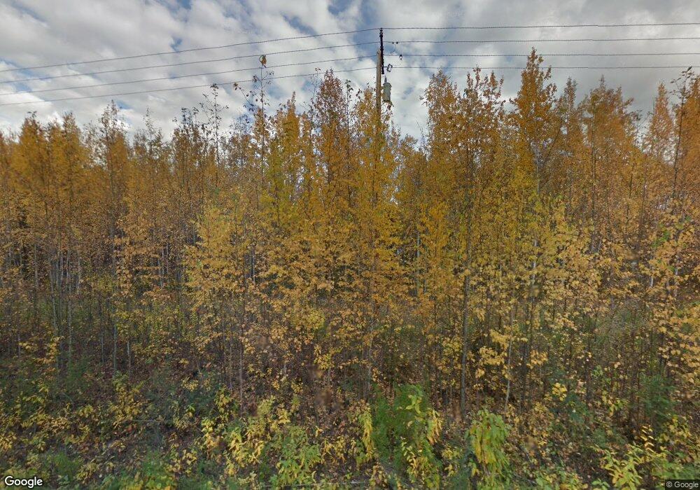
2210 Dawson Rd North Pole, AK 99705
Badger NeighborhoodEstimated Value: $193,000 - $303,000
--
Bed
2
Baths
1,008
Sq Ft
$263/Sq Ft
Est. Value
About This Home
This home is located at 2210 Dawson Rd, North Pole, AK 99705 and is currently estimated at $264,796, approximately $262 per square foot. 2210 Dawson Rd is a home located in Fairbanks North Star Borough with nearby schools including Midnight Sun Elementary School, North Pole Middle School, and North Pole High School.
Ownership History
Date
Name
Owned For
Owner Type
Purchase Details
Closed on
Sep 5, 2018
Sold by
Hood Michael N
Bought by
Hood Lea Ann
Current Estimated Value
Home Financials for this Owner
Home Financials are based on the most recent Mortgage that was taken out on this home.
Original Mortgage
$172,500
Outstanding Balance
$158,414
Interest Rate
7.5%
Mortgage Type
Adjustable Rate Mortgage/ARM
Estimated Equity
$106,382
Create a Home Valuation Report for This Property
The Home Valuation Report is an in-depth analysis detailing your home's value as well as a comparison with similar homes in the area
Home Values in the Area
Average Home Value in this Area
Purchase History
| Date | Buyer | Sale Price | Title Company |
|---|---|---|---|
| Hood Lea Ann | -- | None Available |
Source: Public Records
Mortgage History
| Date | Status | Borrower | Loan Amount |
|---|---|---|---|
| Open | Hood Lea Ann | $172,500 |
Source: Public Records
Tax History Compared to Growth
Tax History
| Year | Tax Paid | Tax Assessment Tax Assessment Total Assessment is a certain percentage of the fair market value that is determined by local assessors to be the total taxable value of land and additions on the property. | Land | Improvement |
|---|---|---|---|---|
| 2025 | $3,653 | $277,486 | $26,474 | $251,012 |
| 2024 | $3,599 | $275,082 | $26,474 | $248,608 |
| 2023 | $3,308 | $259,049 | $26,474 | $232,575 |
| 2022 | $3,341 | $238,656 | $26,474 | $212,182 |
| 2021 | $3,131 | $214,967 | $26,474 | $188,493 |
| 2020 | $2,995 | $205,773 | $26,474 | $179,299 |
| 2019 | $3,660 | $197,764 | $26,474 | $171,290 |
| 2018 | $2,623 | $195,460 | $26,474 | $168,986 |
| 2017 | $2,833 | $192,764 | $26,474 | $166,290 |
| 2016 | $2,683 | $188,675 | $26,474 | $162,201 |
| 2015 | $2,357 | $184,585 | $26,474 | $158,111 |
| 2014 | $2,357 | $176,735 | $26,474 | $150,261 |
Source: Public Records
Map
Nearby Homes
- 3424 Sharon Rd
- NHN Tops St
- 3457 Moosewalk Rd
- 2363 Edsson Ave
- 2210 Outside Blvd
- 2092 Blackstone Rd
- 2045 My Ct
- 2228 Outside Blvd
- 3095 Pewter Ct
- 2324 Outside Blvd
- 2360 Outside Blvd
- 3476 Durham Cir
- 2235 Blackstone Rd
- 3212 Plato Way
- 1797 Jessica Loop
- 2389 Timberpark Loop
- 2305 Flight St
- nhn Dawson Rd
- 3580 Wildwood Dr
- 2144 Free Wright Ln
- 3285 Trestrail Loop
- 3326 Moosewalk Rd
- 3340 Moosewalk Rd
- 2219 Dawson Rd
- 3275 Trestrail Loop
- 2165 Dawson Rd
- 3399 Moosewalk Rd
- 3336 Moosewalk Rd
- 3361 Yellowstone Rd
- 0 Trestrail Loop
- 3352 Moosewalk Rd
- 2242 Dawson Rd
- 3319 Moosewalk Rd
- 3360 Moosewalk Rd
- 3327 Moosewalk Rd
- 2111 Isabella Ln
- 2187 Planters Ln
- 3237 Trestrail Loop
- 2248 Dawson Rd
- 3160 Trestrail Loop
