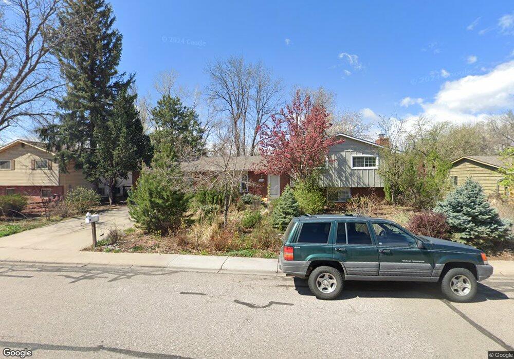
2211 Sheffield Dr Fort Collins, CO 80526
Estimated Value: $566,741 - $606,000
4
Beds
3
Baths
1,834
Sq Ft
$321/Sq Ft
Est. Value
About This Home
This home is located at 2211 Sheffield Dr, Fort Collins, CO 80526 and is currently estimated at $588,685, approximately $320 per square foot. 2211 Sheffield Dr is a home located in Larimer County with nearby schools including Bennett Elementary School, Blevins Middle School, and Rocky Mountain High School.
Ownership History
Date
Name
Owned For
Owner Type
Purchase Details
Closed on
Jul 30, 2003
Sold by
Pearson Judith A
Bought by
Venable Marcus L and Venable Esther S
Current Estimated Value
Home Financials for this Owner
Home Financials are based on the most recent Mortgage that was taken out on this home.
Original Mortgage
$171,100
Outstanding Balance
$67,799
Interest Rate
4.25%
Mortgage Type
Purchase Money Mortgage
Estimated Equity
$520,886
Purchase Details
Closed on
Mar 1, 1979
Bought by
Pearson Judith A
Create a Home Valuation Report for This Property
The Home Valuation Report is an in-depth analysis detailing your home's value as well as a comparison with similar homes in the area
Home Values in the Area
Average Home Value in this Area
Purchase History
| Date | Buyer | Sale Price | Title Company |
|---|---|---|---|
| Venable Marcus L | $213,900 | North American Title Co | |
| Pearson Judith A | -- | -- |
Source: Public Records
Mortgage History
| Date | Status | Borrower | Loan Amount |
|---|---|---|---|
| Open | Venable Marcus L | $171,100 | |
| Closed | Venable Marcus L | $32,050 |
Source: Public Records
Tax History Compared to Growth
Tax History
| Year | Tax Paid | Tax Assessment Tax Assessment Total Assessment is a certain percentage of the fair market value that is determined by local assessors to be the total taxable value of land and additions on the property. | Land | Improvement |
|---|---|---|---|---|
| 2025 | $3,523 | $40,401 | $3,015 | $37,386 |
| 2024 | $3,352 | $40,401 | $3,015 | $37,386 |
| 2022 | $2,689 | $28,482 | $3,128 | $25,354 |
| 2021 | $2,718 | $29,301 | $3,218 | $26,083 |
| 2020 | $2,784 | $29,752 | $3,218 | $26,534 |
| 2019 | $2,796 | $29,752 | $3,218 | $26,534 |
| 2018 | $2,268 | $24,890 | $3,240 | $21,650 |
| 2017 | $2,261 | $24,890 | $3,240 | $21,650 |
| 2016 | $2,023 | $22,161 | $3,582 | $18,579 |
| 2015 | $2,009 | $22,160 | $3,580 | $18,580 |
| 2014 | $1,662 | $18,220 | $3,580 | $14,640 |
Source: Public Records
Map
Nearby Homes
- 2206 Rambouillet Dr
- 2404 Sheffield Cir E
- 2420 Sheffield Cir E
- 1757 Concord Dr
- 1905 Yorktown Ave
- 1701 Glenwood Dr
- 1955 Kingsborough Dr
- 2607 S Taft Hill Rd
- 2114 Water Blossom Ln
- 2213 Shropshire Ave
- 2613 Hanover Dr
- 2800 S Taft Hill Rd
- 1513 Independence Rd
- 2109 W Drake Rd
- 1854 Marlborough Ct
- 2455 Wyandotte Dr
- 2706 Dunbar Ave
- 2001 W Prospect Rd
- 1419 Glen Haven Dr
- 2718 Dunbar Ave
- 2217 Sheffield Dr
- 2201 Sheffield Dr
- 2306 Manchester Ct
- 2300 Manchester Ct
- 2225 Sheffield Dr
- 2312 Manchester Ct
- 2212 Sheffield Dr
- 2206 Sheffield Dr
- 2218 Sheffield Dr
- 2200 Sheffield Dr
- 2318 Manchester Ct
- 2231 Sheffield Dr
- 2000 Manchester Dr
- 2008 Manchester Dr
- 2224 Sheffield Dr
- 2016 Manchester Dr
- 2219 Dover Dr
- 2207 Dover Dr
- 2225 Dover Dr
- 2301 Manchester Ct