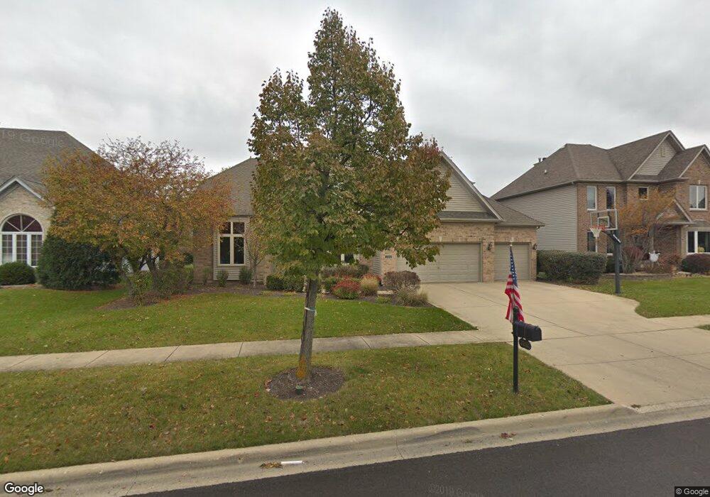
2212 Sutton Dr South Elgin, IL 60177
Thornwood NeighborhoodEstimated Value: $608,834 - $680,000
4
Beds
2
Baths
2,780
Sq Ft
$231/Sq Ft
Est. Value
About This Home
This home is located at 2212 Sutton Dr, South Elgin, IL 60177 and is currently estimated at $641,209, approximately $230 per square foot. 2212 Sutton Dr is a home located in Kane County with nearby schools including Corron Elementary School, Wredling Middle School, and St Charles North High School.
Ownership History
Date
Name
Owned For
Owner Type
Purchase Details
Closed on
Dec 17, 1999
Sold by
Sterling Homes Ltd
Bought by
Barresi James A and Barresi Christine
Current Estimated Value
Home Financials for this Owner
Home Financials are based on the most recent Mortgage that was taken out on this home.
Original Mortgage
$240,000
Outstanding Balance
$69,527
Interest Rate
6.87%
Estimated Equity
$571,682
Create a Home Valuation Report for This Property
The Home Valuation Report is an in-depth analysis detailing your home's value as well as a comparison with similar homes in the area
Home Values in the Area
Average Home Value in this Area
Purchase History
| Date | Buyer | Sale Price | Title Company |
|---|---|---|---|
| Barresi James A | $303,000 | Chicago Title Insurance Co |
Source: Public Records
Mortgage History
| Date | Status | Borrower | Loan Amount |
|---|---|---|---|
| Open | Barresi James A | $240,000 |
Source: Public Records
Tax History Compared to Growth
Tax History
| Year | Tax Paid | Tax Assessment Tax Assessment Total Assessment is a certain percentage of the fair market value that is determined by local assessors to be the total taxable value of land and additions on the property. | Land | Improvement |
|---|---|---|---|---|
| 2024 | $12,986 | $169,376 | $29,792 | $139,584 |
| 2023 | $12,409 | $151,594 | $26,664 | $124,930 |
| 2022 | $11,460 | $137,187 | $26,563 | $110,624 |
| 2021 | $11,007 | $130,767 | $25,320 | $105,447 |
| 2020 | $10,957 | $128,329 | $24,848 | $103,481 |
| 2019 | $10,785 | $125,788 | $24,356 | $101,432 |
| 2018 | $11,434 | $132,473 | $26,033 | $106,440 |
| 2017 | $10,912 | $127,944 | $25,143 | $102,801 |
| 2016 | $11,399 | $123,450 | $24,260 | $99,190 |
| 2015 | -- | $119,992 | $23,998 | $95,994 |
| 2014 | -- | $116,144 | $23,998 | $92,146 |
| 2013 | -- | $114,237 | $24,238 | $89,999 |
Source: Public Records
Map
Nearby Homes
- 2159 Sutton Dr
- 2181 W Thornwood Dr
- 2193 W Thornwood Dr
- 1987 Sagebrook Dr
- 791 Reserve Ct
- 761 Reserve Ct
- 852 Sunrise Dr
- 4 Persimmon Ln
- 1251 Lansbrook Dr
- 598 Lake Ridge Dr
- 552 Waters Edge Dr
- 7N235 Windsor Dr Unit 4
- 747 Heartland Ln
- 659 Glenwood Dr
- 675 Oak Ln
- 37W004 Ridgewood Dr
- 7N949 Stevens Rd
- 7N919 Cloverfield Rd
- 6N729 Old Homestead Rd
- Lot 103 Oak Pointe Dr
- 2218 Sutton Dr
- 2208 Sutton Dr
- 2191 Brookwood Dr
- 2197 Brookwood Dr
- 2204 Sutton Dr
- 2220 Sutton Dr
- 2185 Brookwood Dr
- 2211 Sutton Dr
- 2213 Sutton Dr
- 2207 Sutton Dr
- 2198 Sutton Dr
- 2203 Brookwood Dr
- 2203 Sutton Dr
- 2215 Sutton Dr
- 2179 Brookwood Dr
- 2199 Sutton Dr
- 2196 Sutton Dr
- 2209 Brookwood Dr
- 2230 Sutton Dr
- 2173 Brookwood Dr