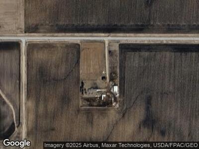
22182 Highway D55 Hubbard, IA 50122
Estimated Value: $151,000 - $183,070
3
Beds
1
Bath
1,938
Sq Ft
$87/Sq Ft
Est. Value
About This Home
This home is located at 22182 Highway D55, Hubbard, IA 50122 and is currently estimated at $167,690, approximately $86 per square foot. 22182 Highway D55 is a home located in Hardin County.
Ownership History
Date
Name
Owned For
Owner Type
Purchase Details
Closed on
Oct 28, 2021
Sold by
Kix Wesley S and Kix Hope L
Bought by
Friest Brant
Current Estimated Value
Home Financials for this Owner
Home Financials are based on the most recent Mortgage that was taken out on this home.
Original Mortgage
$180,000
Outstanding Balance
$162,866
Interest Rate
2.21%
Mortgage Type
Construction
Estimated Equity
$88,362
Create a Home Valuation Report for This Property
The Home Valuation Report is an in-depth analysis detailing your home's value as well as a comparison with similar homes in the area
Home Values in the Area
Average Home Value in this Area
Purchase History
| Date | Buyer | Sale Price | Title Company |
|---|---|---|---|
| Friest Brant | $205,000 | -- |
Source: Public Records
Mortgage History
| Date | Status | Borrower | Loan Amount |
|---|---|---|---|
| Open | Friest Brant | $180,000 |
Source: Public Records
Tax History Compared to Growth
Tax History
| Year | Tax Paid | Tax Assessment Tax Assessment Total Assessment is a certain percentage of the fair market value that is determined by local assessors to be the total taxable value of land and additions on the property. | Land | Improvement |
|---|---|---|---|---|
| 2024 | $1,258 | $103,470 | $12,610 | $90,860 |
| 2023 | $1,258 | $100,970 | $12,610 | $88,360 |
| 2022 | $1,356 | $82,970 | $10,300 | $72,670 |
| 2021 | $1,356 | $82,970 | $10,300 | $72,670 |
| 2020 | $1,854 | $115,140 | $9,090 | $106,050 |
| 2019 | $1,810 | $115,140 | $0 | $0 |
| 2018 | $1,810 | $120,640 | $0 | $0 |
| 2017 | $1,842 | $123,150 | $0 | $0 |
| 2016 | $1,788 | $123,150 | $0 | $0 |
| 2015 | $1,846 | $128,000 | $0 | $0 |
| 2014 | $300 | $25,110 | $0 | $0 |
Source: Public Records
Map
Nearby Homes