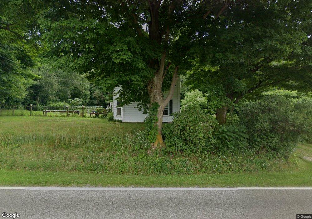
2219 County Road 775 Perrysville, OH 44864
Estimated Value: $212,478 - $358,000
3
Beds
1
Bath
1,724
Sq Ft
$152/Sq Ft
Est. Value
About This Home
This home is located at 2219 County Road 775, Perrysville, OH 44864 and is currently estimated at $262,870, approximately $152 per square foot. 2219 County Road 775 is a home located in Ashland County with nearby schools including Hillsdale Elementary School, Hillsdale Middle School, and Hillsdale High School.
Ownership History
Date
Name
Owned For
Owner Type
Purchase Details
Closed on
May 9, 2024
Sold by
Spayde-Strine Betsy Mae
Bought by
Strine Randall S
Current Estimated Value
Purchase Details
Closed on
Apr 3, 2012
Bought by
Strine Randall S and Strine Spayde
Purchase Details
Closed on
May 29, 1985
Bought by
Strine Randall S
Create a Home Valuation Report for This Property
The Home Valuation Report is an in-depth analysis detailing your home's value as well as a comparison with similar homes in the area
Home Values in the Area
Average Home Value in this Area
Purchase History
| Date | Buyer | Sale Price | Title Company |
|---|---|---|---|
| Strine Randall S | -- | None Listed On Document | |
| Strine Randall S | -- | -- | |
| Strine Randall S | $42,000 | -- |
Source: Public Records
Tax History Compared to Growth
Tax History
| Year | Tax Paid | Tax Assessment Tax Assessment Total Assessment is a certain percentage of the fair market value that is determined by local assessors to be the total taxable value of land and additions on the property. | Land | Improvement |
|---|---|---|---|---|
| 2024 | $1,719 | $52,760 | $16,250 | $36,510 |
| 2023 | $1,719 | $52,760 | $16,250 | $36,510 |
| 2022 | $1,498 | $36,390 | $11,210 | $25,180 |
| 2021 | $1,500 | $36,390 | $11,210 | $25,180 |
| 2020 | $1,405 | $36,390 | $11,210 | $25,180 |
| 2019 | $1,218 | $30,960 | $9,390 | $21,570 |
| 2018 | $1,211 | $30,960 | $9,390 | $21,570 |
| 2017 | $1,058 | $30,960 | $9,390 | $21,570 |
| 2016 | $1,058 | $26,920 | $8,170 | $18,750 |
| 2015 | $1,045 | $26,920 | $8,170 | $18,750 |
| 2013 | $1,151 | $29,010 | $8,430 | $20,580 |
Source: Public Records
Map
Nearby Homes
- 0 Township Road 925
- 1048 Township Road 2156
- 820 County Road 30a
- 0 Ashland County Road 2175
- 0 Ashland County Road 2175
- 968 Township Road 2506
- 150 E Main St
- 609 Ohio 95
- 560 Township Road 2402
- 1106 County Road 30a
- 0 Twp Rd 1806 Unit 11591470
- 1845 County Road 655
- 1183 County Road 30a
- 19 Maine St
- 0 Applegate Rd
- 2428 Applegate Rd
- 0 Mount Zion Rd Unit 9069748
- 136 Bridge St
- 2057 State Route 89
- 1690 County Road 995
- 827 Township Road 2206
- 2230 County Road 775
- 828 Township Road 2206
- 2199 County Road 775
- 836 Township Road 2206
- 2196 County Road 775
- 848 Township Road 2206
- 854 Township Road 2206
- 862 Township Road 2206
- 2243 County Road 775
- 849 Township Road 2206
- 804 Township Road 2204
- 793 Township Road 2204
- 2267 County Road 775
- 2171 County Road 775
- 775 Township Road 2204
- 2280 County Road 775
- 2165 County Road 775
- 899 County Road 2256
- 899 Cr 2256