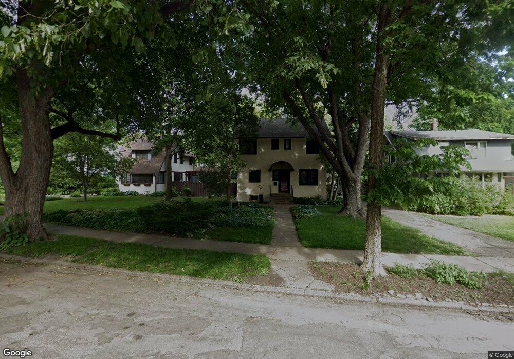
222 Amherst St Saint Paul, MN 55105
Macalester-Groveland NeighborhoodEstimated Value: $519,000 - $622,000
3
Beds
3
Baths
1,373
Sq Ft
$417/Sq Ft
Est. Value
About This Home
This home is located at 222 Amherst St, Saint Paul, MN 55105 and is currently estimated at $573,150, approximately $417 per square foot. 222 Amherst St is a home located in Ramsey County with nearby schools including Groveland Park Elementary School, Hidden River Middle School, and Central Senior High School.
Ownership History
Date
Name
Owned For
Owner Type
Purchase Details
Closed on
Nov 16, 2018
Sold by
Maloney William E and Maloney Eliazbeth A
Bought by
Starks Jamie L and Hundt Peter J
Current Estimated Value
Home Financials for this Owner
Home Financials are based on the most recent Mortgage that was taken out on this home.
Original Mortgage
$350,000
Outstanding Balance
$305,002
Interest Rate
4.37%
Mortgage Type
Adjustable Rate Mortgage/ARM
Estimated Equity
$268,148
Purchase Details
Closed on
Feb 26, 2001
Sold by
Orey Vivian
Bought by
Maloney William E and Wroblewski Elizabeth A
Create a Home Valuation Report for This Property
The Home Valuation Report is an in-depth analysis detailing your home's value as well as a comparison with similar homes in the area
Home Values in the Area
Average Home Value in this Area
Purchase History
| Date | Buyer | Sale Price | Title Company |
|---|---|---|---|
| Starks Jamie L | $450,000 | Executive Title Services | |
| Maloney William E | $282,000 | -- |
Source: Public Records
Mortgage History
| Date | Status | Borrower | Loan Amount |
|---|---|---|---|
| Open | Starks Jamie L | $350,000 |
Source: Public Records
Tax History Compared to Growth
Tax History
| Year | Tax Paid | Tax Assessment Tax Assessment Total Assessment is a certain percentage of the fair market value that is determined by local assessors to be the total taxable value of land and additions on the property. | Land | Improvement |
|---|---|---|---|---|
| 2025 | $7,650 | $552,400 | $166,700 | $385,700 |
| 2023 | $7,650 | $497,100 | $166,700 | $330,400 |
| 2022 | $7,266 | $474,700 | $166,700 | $308,000 |
| 2021 | $6,894 | $449,300 | $166,700 | $282,600 |
| 2020 | $7,372 | $442,200 | $166,700 | $275,500 |
| 2019 | $7,544 | $439,200 | $166,700 | $272,500 |
| 2018 | $7,332 | $443,900 | $166,700 | $277,200 |
| 2017 | $6,670 | $443,900 | $166,700 | $277,200 |
| 2016 | $6,888 | $0 | $0 | $0 |
| 2015 | $6,940 | $415,200 | $138,900 | $276,300 |
| 2014 | $6,576 | $0 | $0 | $0 |
Source: Public Records
Map
Nearby Homes
- 191 Vernon St
- 1615 Stanford Ave
- 1818 Juliet Ave
- 388 Snelling Ave S
- 1797 James Ave
- 1926 Lincoln Ave
- 1688 James Ave
- 1676 Randolph Ave
- 1670 Ashland Ave
- 1917 Summit Ave Unit 2
- 1447 Juliet Ave
- 188 Cleveland Ave S
- 1540 Ashland Ave Unit 12
- 750 Summit Ave
- 2009 Grand Ave
- 1749 Laurel Ave
- 1873 Ashland Ave
- 281 Cleveland Ave S
- 2047 Grand Ave
- 590 Fairview Ave S
- 228 Amherst St
- 218 Amherst St
- 232 Amherst St
- 1711 Saint Clair Ave
- 240 Amherst St
- 1705 Saint Clair Ave
- 208 Amherst St
- 229 Amherst St
- 235 Amherst St
- 219 Amherst St
- 223 Amherst St
- 1716 1716 St Clair Ave
- 1701 Saint Clair Ave
- 215 Amherst St
- 237 Amherst St
- 211 Amherst St
- 200 Amherst St
- 1699 Saint Clair Ave
- 197 Amherst St
- 1739 Saint Clair Ave