222 Cedar Breeze S Glenburn, ME 04401
Estimated Value: $448,505 - $707,000
--
Bed
4
Baths
2,566
Sq Ft
$206/Sq Ft
Est. Value
About This Home
This home is located at 222 Cedar Breeze S, Glenburn, ME 04401 and is currently estimated at $529,876, approximately $206 per square foot. 222 Cedar Breeze S is a home with nearby schools including Glenburn Elementary School, Orono Middle School, and Orono High School.
Ownership History
Date
Name
Owned For
Owner Type
Purchase Details
Closed on
Jan 28, 2019
Sold by
Teel James S and Teel Katrin P
Bought by
Teel James S
Current Estimated Value
Purchase Details
Closed on
Dec 27, 2016
Sold by
Hastings David E and Hastings Judith C
Bought by
Teel James S and Teel Katrin P
Create a Home Valuation Report for This Property
The Home Valuation Report is an in-depth analysis detailing your home's value as well as a comparison with similar homes in the area
Home Values in the Area
Average Home Value in this Area
Purchase History
| Date | Buyer | Sale Price | Title Company |
|---|---|---|---|
| Teel James S | -- | -- | |
| Norsk Shore Llc | -- | -- | |
| Teel James S | -- | -- |
Source: Public Records
Tax History Compared to Growth
Tax History
| Year | Tax Paid | Tax Assessment Tax Assessment Total Assessment is a certain percentage of the fair market value that is determined by local assessors to be the total taxable value of land and additions on the property. | Land | Improvement |
|---|---|---|---|---|
| 2024 | $4,811 | $348,600 | $125,720 | $222,880 |
| 2023 | $4,846 | $348,600 | $125,720 | $222,880 |
| 2022 | $4,867 | $290,550 | $104,770 | $185,780 |
| 2021 | $5,240 | $291,110 | $104,770 | $186,340 |
| 2020 | $4,304 | $290,550 | $104,770 | $185,780 |
| 2019 | $4,449 | $243,790 | $86,170 | $157,620 |
| 2018 | $3,755 | $229,560 | $71,940 | $157,620 |
| 2017 | $1,253 | $59,100 | $59,100 | $0 |
| 2016 | $1,622 | $80,300 | $59,100 | $21,200 |
| 2015 | $1,578 | $80,300 | $59,100 | $21,200 |
| 2014 | $1,494 | $80,300 | $59,100 | $21,200 |
| 2012 | $1,630 | $85,100 | $63,900 | $21,200 |
Source: Public Records
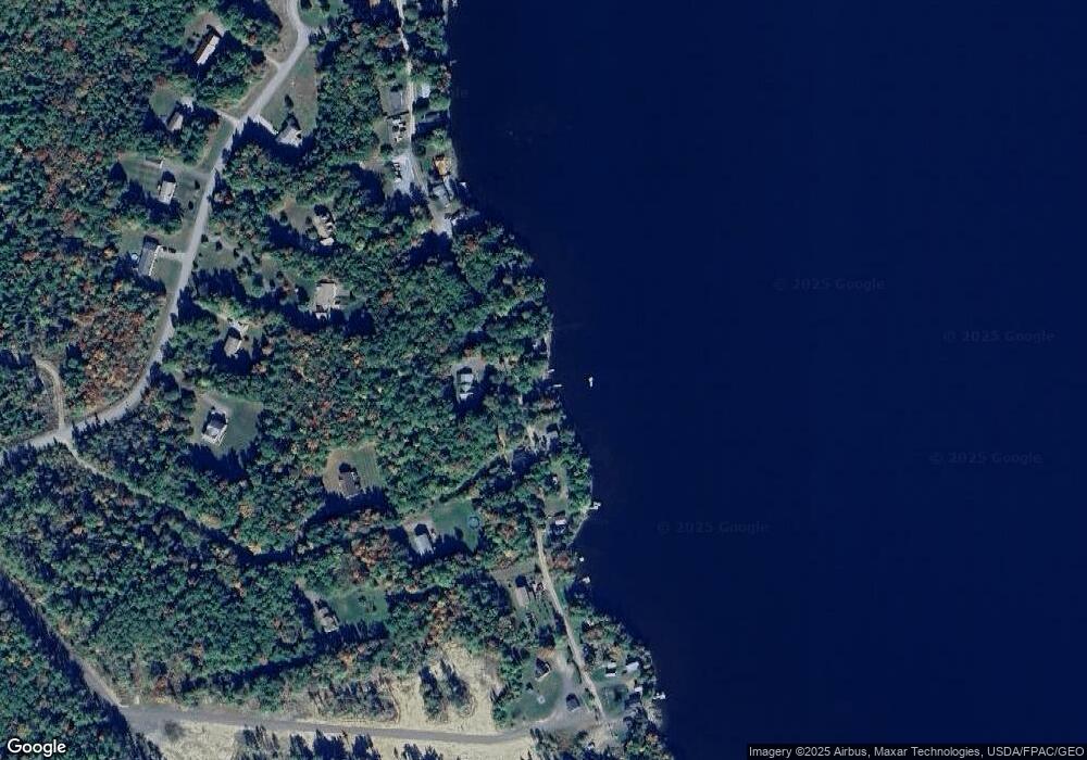
Map
Nearby Homes
- 00 Cedar Breeze N
- 8, 20 24 & 46 Martin's Ln
- 271 Cedar Breeze N
- 35-46 Woodland Ave
- 336 Lakeview Rd
- 348 Lakeview Rd
- 336 Beechwood Ave
- 879 Hudson Rd
- 137 Aa Landing Rd
- 160 Lancaster Brook Rd
- 0 Gould Rd
- 953 Pushaw Rd
- 549 Hudson Rd
- 199 Poplar St
- 10 Kelliher St
- 29 Kelliher St
- 1380 Kirkland Rd
- 818 Forest Ave
- 999 Kirkland Rd
- 987 Kirkland Rd
- 208 Cedar Breeze S
- 252 Cedar Breeze S
- 238 Cedar Breeze S
- Lot #2 Cedar Breeze S
- LOT2 Cedar Breeze So
- Lot 95-1 Cedar Breeze Rd S
- Lot 4 Cedar Breeze Rd S
- 2 Cedar Breeze S
- Lot 5 Cedar Breeze S
- 6 Cedar Breeze S
- 8 Cedar Breeze S
- 5 Cedar Breeze S
- 4 Cedar Breeze S
- 10 Cedar Breeze S
- 1770 Pushaw Rd
- 198 Cedar Breeze S
- 190 Cedar Breeze S
- 182 Cedar Breeze S
- 196 Cedar Breeze S
- 194 Cedar Breeze S