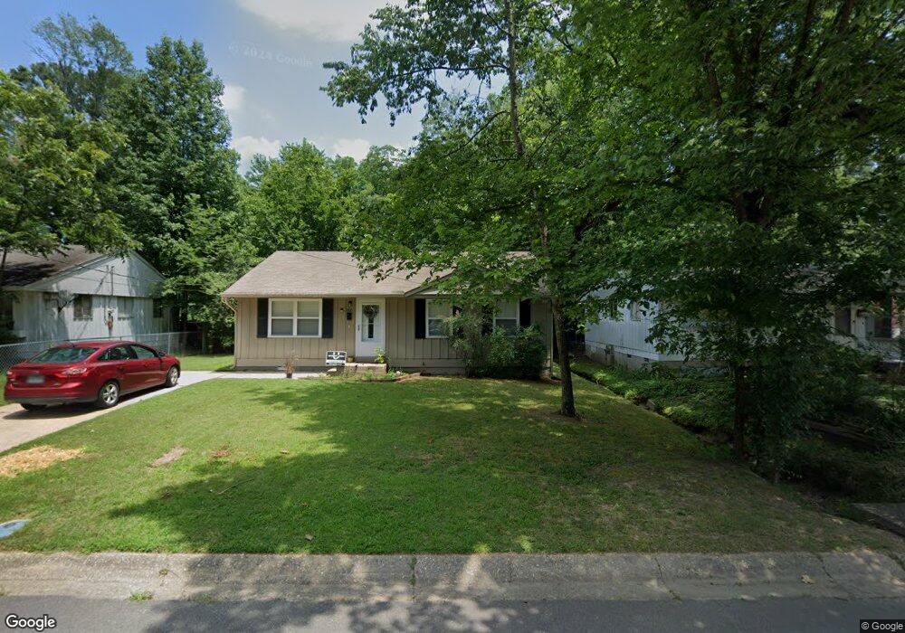
222 Dobbs St Benton, AR 72015
Estimated Value: $118,791 - $150,000
Studio
1
Bath
1,044
Sq Ft
$134/Sq Ft
Est. Value
About This Home
This home is located at 222 Dobbs St, Benton, AR 72015 and is currently estimated at $139,448, approximately $133 per square foot. 222 Dobbs St is a home located in Saline County with nearby schools including Ringgold Elementary School, Benton Middle School, and Benton Junior High School.
Ownership History
Date
Name
Owned For
Owner Type
Purchase Details
Closed on
May 19, 2009
Sold by
Loftis Steve
Bought by
Burkett Anita
Current Estimated Value
Home Financials for this Owner
Home Financials are based on the most recent Mortgage that was taken out on this home.
Original Mortgage
$66,768
Outstanding Balance
$41,981
Interest Rate
4.76%
Mortgage Type
FHA
Estimated Equity
$97,467
Purchase Details
Closed on
Jan 16, 2004
Bought by
Loftis
Purchase Details
Closed on
Oct 22, 2003
Bought by
Lasalle
Purchase Details
Closed on
Sep 30, 1993
Bought by
Bauer
Create a Home Valuation Report for This Property
The Home Valuation Report is an in-depth analysis detailing your home's value as well as a comparison with similar homes in the area
Home Values in the Area
Average Home Value in this Area
Purchase History
| Date | Buyer | Sale Price | Title Company |
|---|---|---|---|
| Burkett Anita | $68,000 | -- | |
| Loftis | $30,000 | -- | |
| Lasalle | $27,600 | -- | |
| Bauer | -- | -- |
Source: Public Records
Mortgage History
| Date | Status | Borrower | Loan Amount |
|---|---|---|---|
| Open | Burkett Anita | $66,768 |
Source: Public Records
Tax History
| Year | Tax Paid | Tax Assessment Tax Assessment Total Assessment is a certain percentage of the fair market value that is determined by local assessors to be the total taxable value of land and additions on the property. | Land | Improvement |
|---|---|---|---|---|
| 2025 | $806 | $16,845 | $4,680 | $12,165 |
| 2024 | $825 | $16,845 | $4,680 | $12,165 |
| 2023 | $381 | $16,845 | $4,680 | $12,165 |
| 2022 | $431 | $16,845 | $4,680 | $12,165 |
| 2021 | $393 | $13,860 | $3,600 | $10,260 |
| 2020 | $391 | $13,860 | $3,600 | $10,260 |
| 2019 | $391 | $13,860 | $3,600 | $10,260 |
| 2018 | $381 | $13,860 | $3,600 | $10,260 |
| 2017 | $348 | $13,860 | $3,600 | $10,260 |
| 2016 | $682 | $12,020 | $2,600 | $9,420 |
| 2015 | $320 | $12,020 | $2,600 | $9,420 |
| 2014 | $324 | $12,020 | $2,600 | $9,420 |
Source: Public Records
Map
Nearby Homes
- 1500 W Sevier St
- 1212 Jackman St
- 408 W Sevier St
- 402 W Sevier St
- 301 W Pine
- 521 W Cross St
- 402 S Market
- 1108 Ike St
- 1201 Venturi
- 406 W Narroway St
- 324 W North St Unit 328
- 423 W Narroway St
- 518 S Main
- Lot 2 Woodland
- 216 Pike
- 121 S 1st St Unit A
- 1107 J Cove W
- 1124 J West Cove
- 213 E Narroway
- 424 E Sevier St
Your Personal Tour Guide
Ask me questions while you tour the home.