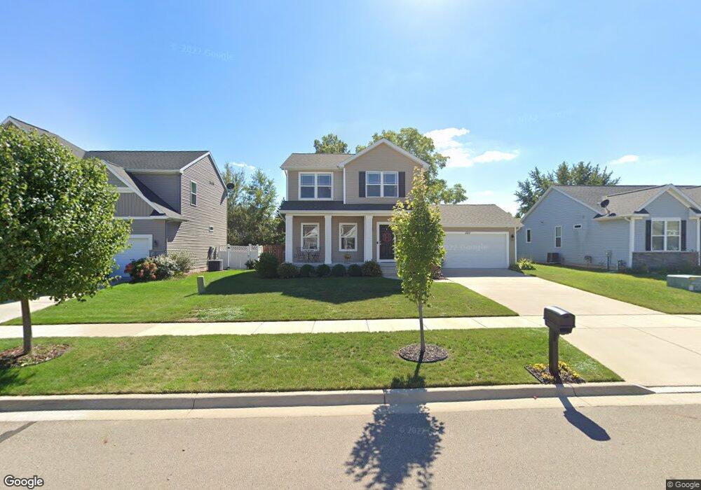
222 E Ayla Dr Unit 62 Dewitt, MI 48820
Estimated Value: $361,412 - $481,000
3
Beds
2
Baths
1,525
Sq Ft
$269/Sq Ft
Est. Value
About This Home
This home is located at 222 E Ayla Dr Unit 62, Dewitt, MI 48820 and is currently estimated at $410,103, approximately $268 per square foot. 222 E Ayla Dr Unit 62 is a home located in Clinton County with nearby schools including Schavey Road Elementary School, Herbison Woods Elementary School, and Scott Elementary School.
Ownership History
Date
Name
Owned For
Owner Type
Purchase Details
Closed on
Nov 5, 2021
Sold by
Hier Allison and Hier Samuel
Bought by
Hier Samuel and Hier Allison
Current Estimated Value
Home Financials for this Owner
Home Financials are based on the most recent Mortgage that was taken out on this home.
Original Mortgage
$225,000
Outstanding Balance
$206,231
Interest Rate
3.01%
Mortgage Type
New Conventional
Estimated Equity
$203,872
Purchase Details
Closed on
Aug 2, 2018
Sold by
Country View Estate Sllc
Bought by
Myers Allison M and Hier Samuel
Home Financials for this Owner
Home Financials are based on the most recent Mortgage that was taken out on this home.
Original Mortgage
$235,660
Interest Rate
4.5%
Mortgage Type
New Conventional
Purchase Details
Closed on
Mar 23, 2018
Sold by
Dtp Llc
Bought by
Dirt Werx Excavating Llc
Create a Home Valuation Report for This Property
The Home Valuation Report is an in-depth analysis detailing your home's value as well as a comparison with similar homes in the area
Home Values in the Area
Average Home Value in this Area
Purchase History
| Date | Buyer | Sale Price | Title Company |
|---|---|---|---|
| Hier Samuel | -- | None Available | |
| Myers Allison M | $242,950 | None Available | |
| Country View Estates Llc | -- | None Available | |
| Dirt Werx Excavating Llc | $50,000 | Tri Title Agency Llc |
Source: Public Records
Mortgage History
| Date | Status | Borrower | Loan Amount |
|---|---|---|---|
| Open | Hier Samuel | $225,000 | |
| Closed | Myers Allison M | $235,660 |
Source: Public Records
Tax History
| Year | Tax Paid | Tax Assessment Tax Assessment Total Assessment is a certain percentage of the fair market value that is determined by local assessors to be the total taxable value of land and additions on the property. | Land | Improvement |
|---|---|---|---|---|
| 2025 | -- | $182,100 | $16,900 | $165,200 |
| 2024 | $46 | $171,900 | $15,500 | $156,400 |
| 2023 | $4,839 | $157,700 | $0 | $0 |
| 2022 | $5,540 | $142,600 | $14,600 | $128,000 |
| 2021 | $5,367 | $134,900 | $14,300 | $120,600 |
| 2020 | $5,242 | $124,100 | $13,000 | $111,100 |
| 2019 | $5,056 | $114,800 | $13,000 | $101,800 |
| 2018 | $234 | $13,000 | $13,000 | $0 |
| 2017 | $229 | $11,400 | $11,400 | $0 |
| 2016 | $228 | $11,400 | $11,400 | $0 |
| 2015 | -- | $10,400 | $0 | $0 |
Source: Public Records
Map
Nearby Homes
- 603 Cherry St
- 1448 Primrose Ln
- 1226 S Geneva Dr
- 1465 Primrose Ln
- 13282 Blaisdell Dr
- 12719 Houghton Dr
- 513 N Scott St
- 12441 Oakland Hills Dr
- 12719 Ontonagon Dr
- 1605 Stauffer Ln
- 3421 Hawthorne Woods Pkwy
- 1349 Poppy Ln
- 12565 McKouen Dr
- 2407 W Clark Rd
- 13865 Kaleidoscope Dr
- 13871 Kaleidoscope Dr
- 3343 Silverspring Dr
- 3783 Wisteria Ln
- 13894 Luroma Cir
- 3893 Sage Ln
Your Personal Tour Guide
Ask me questions while you tour the home.