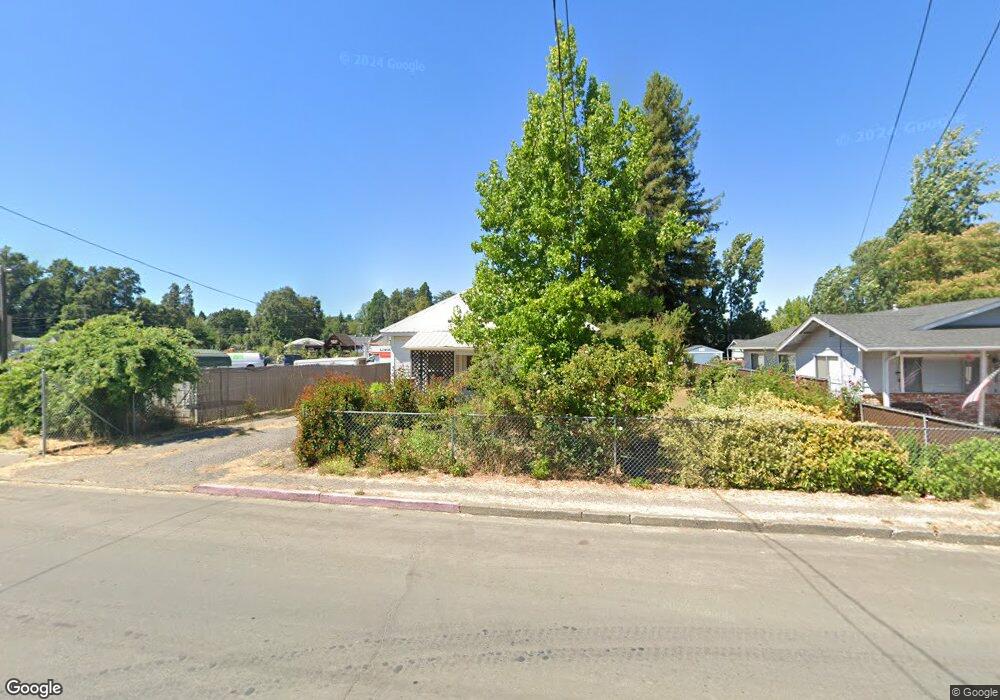
222 E San Francisco Ave Willits, CA 95490
Estimated Value: $228,000 - $350,000
Studio
--
Bath
--
Sq Ft
0.5
Acres
About This Home
This home is located at 222 E San Francisco Ave, Willits, CA 95490 and is currently estimated at $302,478. 222 E San Francisco Ave is a home located in Mendocino County with nearby schools including Brookside Elementary School, Blosser Lane Elementary School, and Baechtel Grove Middle School.
Ownership History
Date
Name
Owned For
Owner Type
Purchase Details
Closed on
Jun 13, 2024
Sold by
Griggs Michael A and Griggs Christine A
Bought by
Michael A And Christine A Griggs Family Trust and Griggs
Current Estimated Value
Purchase Details
Closed on
Apr 30, 2014
Sold by
Graux Melinda and The Lawrason Family Trust & Th
Bought by
Griggs Michael A and Griggs Christine A
Purchase Details
Closed on
Jan 19, 2011
Sold by
Lawrason Danny
Bought by
Lawrason Danny
Purchase Details
Closed on
Aug 26, 2005
Sold by
Lawrason Danny F and Lawrason Marian G
Bought by
Lawrason Danny F and Lawrason Marian G
Create a Home Valuation Report for This Property
The Home Valuation Report is an in-depth analysis detailing your home's value as well as a comparison with similar homes in the area
Home Values in the Area
Average Home Value in this Area
Purchase History
| Date | Buyer | Sale Price | Title Company |
|---|---|---|---|
| Michael A And Christine A Griggs Family Trust | -- | None Listed On Document | |
| Griggs Michael A | $162,000 | Redwood Empire Title Company | |
| Lawrason Danny | -- | None Available | |
| Lawrason Danny F | -- | -- |
Source: Public Records
Tax History
| Year | Tax Paid | Tax Assessment Tax Assessment Total Assessment is a certain percentage of the fair market value that is determined by local assessors to be the total taxable value of land and additions on the property. | Land | Improvement |
|---|---|---|---|---|
| 2025 | $3,324 | $198,578 | $75,997 | $122,581 |
| 2023 | $3,324 | $190,869 | $73,047 | $117,822 |
| 2022 | $3,092 | $187,127 | $71,615 | $115,512 |
| 2021 | $3,077 | $183,459 | $70,211 | $113,248 |
| 2020 | $3,022 | $181,581 | $69,494 | $112,087 |
| 2019 | $3,020 | $178,022 | $68,132 | $109,890 |
| 2018 | $2,830 | $174,532 | $66,796 | $107,736 |
| 2017 | $2,733 | $171,111 | $65,487 | $105,624 |
| 2016 | $2,667 | $167,756 | $64,203 | $103,553 |
| 2015 | $2,635 | $165,237 | $63,239 | $101,998 |
| 2014 | $1,283 | $39,227 | $10,030 | $29,197 |
Source: Public Records
Map
Nearby Homes
- 372 S Lenore Ave
- 309 E Valley St
- 755 Central Ave
- 350 Creekside Dr
- 316 S Main St
- 308 Coast St
- 80 Fort Bragg Rd
- 0 Catherine Ln
- 84 School St
- 0 Poplar Ave Unit 324037613
- 36 Hillside Dr
- 1242 Poplar Ave
- 21552 Eva Clair St
- 1407 Brothers Ln
- 454 Della Ave
- 283 Sherwood Rd
- 611 Hawthorne Ln
- 490 Della Ave
- 26600 Sherwood Rd
- 25331 Sherwood Rd
- 270 E San Francisco Ave
- 374 Boscabelle Ave
- 362 Boscabelle Ave
- 352 Boscabelle Ave
- 210 E San Francisco Ave
- 304 E San Francisco Ave
- 514 Railroad Ave
- 363 Boscabelle Ave
- 336 Boscabelle Ave
- 330 E San Francisco Ave
- 359 Boscabelle Ave
- 114 E San Francisco Ave
- 297 E San Francisco Ave
- 518 Railroad Ave
- 370 E San Francisco Ave
- 441 Central Ave
- 96 E San Francisco Ave
- 345 Boscabelle Ave
- 324 Boscabelle Ave
Your Personal Tour Guide
Ask me questions while you tour the home.