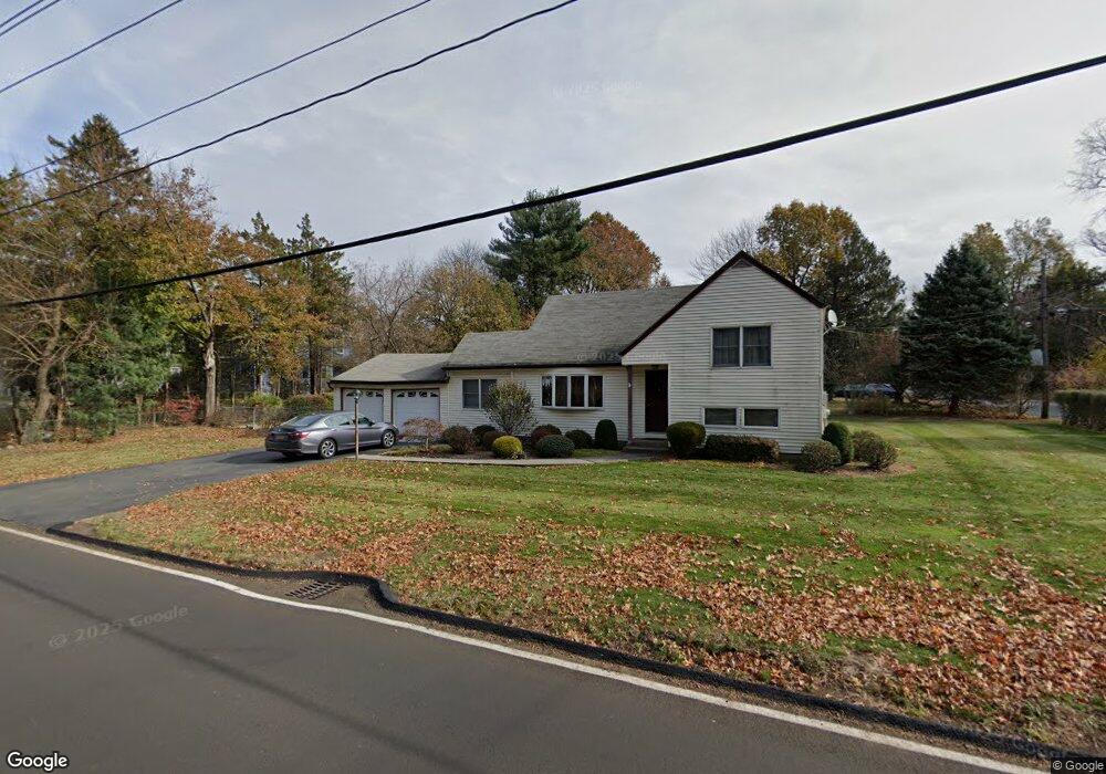
222 Ehrhardt Rd Pearl River, NY 10965
Estimated Value: $653,000 - $708,000
3
Beds
2
Baths
1,288
Sq Ft
$525/Sq Ft
Est. Value
About This Home
This home is located at 222 Ehrhardt Rd, Pearl River, NY 10965 and is currently estimated at $676,275, approximately $525 per square foot. 222 Ehrhardt Rd is a home located in Rockland County with nearby schools including George W Miller Elementary School, Highview Elementary School, and A Macarthur Barr Middle School.
Ownership History
Date
Name
Owned For
Owner Type
Purchase Details
Closed on
Aug 26, 2008
Sold by
Mcqueeney Thomas J and Mcqueeney Nora
Bought by
Driscoll Jane M and Loughran Carolyn A
Current Estimated Value
Create a Home Valuation Report for This Property
The Home Valuation Report is an in-depth analysis detailing your home's value as well as a comparison with similar homes in the area
Home Values in the Area
Average Home Value in this Area
Purchase History
| Date | Buyer | Sale Price | Title Company |
|---|---|---|---|
| Driscoll Jane M | -- | None Available |
Source: Public Records
Tax History Compared to Growth
Tax History
| Year | Tax Paid | Tax Assessment Tax Assessment Total Assessment is a certain percentage of the fair market value that is determined by local assessors to be the total taxable value of land and additions on the property. | Land | Improvement |
|---|---|---|---|---|
| 2024 | $13,322 | $161,100 | $44,500 | $116,600 |
| 2023 | $13,322 | $161,100 | $44,500 | $116,600 |
| 2022 | $3,975 | $161,100 | $44,500 | $116,600 |
| 2021 | $11,989 | $161,100 | $44,500 | $116,600 |
| 2020 | $11,290 | $161,100 | $44,500 | $116,600 |
| 2019 | $3,677 | $161,100 | $44,500 | $116,600 |
| 2018 | $10,641 | $161,100 | $44,500 | $116,600 |
| 2017 | $10,520 | $161,100 | $44,500 | $116,600 |
| 2016 | $9,815 | $161,100 | $44,500 | $116,600 |
| 2015 | -- | $161,100 | $44,500 | $116,600 |
| 2014 | -- | $161,100 | $44,500 | $116,600 |
Source: Public Records
Map
Nearby Homes
- 4 Brown Dr
- 110 Orchid Dr
- 87 Pinto Rd
- 5 Hillaire Place
- 46 Cara Dr
- 14 Staubitz Ave
- 452 Somerset Dr Unit F
- 432 Somerset Dr Unit M
- 854 E Crooked Hill Rd Unit 854
- 250 Blauvelt Rd
- 221 N Middletown Rd Unit F
- 165 Forest Ave
- 137 Blauvelt Rd
- 352 Holt Dr
- 12 Lilac Ct
- 20 E Palisades Ave
- 73 Bogert Ave
- 26 E George Ave
- 359 Orangeburg Rd
- 15 Pacific Ave
- 47 Ablondi Rd
- 221 Ehrhardt Rd
- 234 Ehrhardt Rd
- 206 Ehrhardt Rd
- 213 Ehrhardt Rd
- 229 Ehrhardt Rd
- 57 Ablondi Rd
- 0 Ehrhardt Rd
- 240 Ehrhardt Rd
- 56 Ablondi Rd
- 200 Ehrhardt Rd
- 239 Ehrhardt Rd
- 128 Lombardi Rd
- 203 Ehrhardt Rd
- 118 Lombardi Rd
- 226 Ehrhardt Rd
- 134 Lombardi Rd
- 67 Ablondi Rd
- 196 Ehrhardt Rd
- 250 Ehrhardt Rd