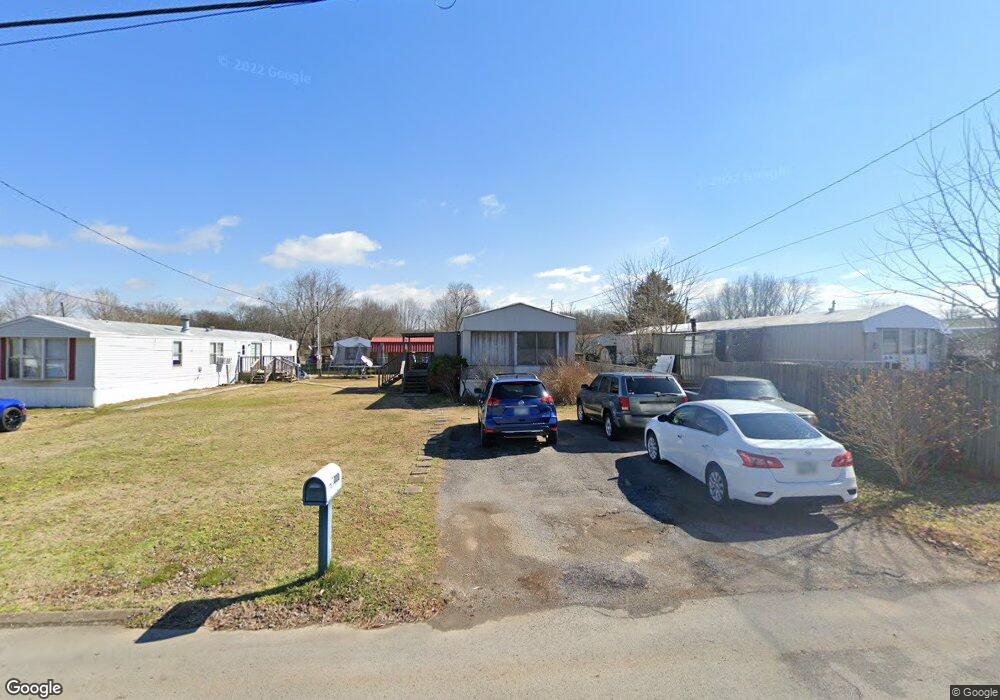
222 Hurricane Cir La Vergne, TN 37086
Estimated Value: $33,500 - $229,000
--
Bed
--
Bath
--
Sq Ft
8,320
Sq Ft Lot
About This Home
This home is located at 222 Hurricane Cir, La Vergne, TN 37086 and is currently estimated at $160,625. 222 Hurricane Cir is a home with nearby schools including Roy L. Waldron Elementary School, Lavergne Primary School, and La Vergne Middle School.
Ownership History
Date
Name
Owned For
Owner Type
Purchase Details
Closed on
Apr 20, 2020
Sold by
Waldron Roy L and Waldron Tennessee Community Pr
Bought by
Butler John P and Butler Kathleen S
Current Estimated Value
Home Financials for this Owner
Home Financials are based on the most recent Mortgage that was taken out on this home.
Original Mortgage
$22,000
Outstanding Balance
$19,415
Interest Rate
3.2%
Mortgage Type
Commercial
Estimated Equity
$141,210
Purchase Details
Closed on
Jul 23, 2019
Sold by
Waldron Roy L and Waldron Joyce
Bought by
Waldron Roy L and Waldron Tennessee Community Property Tr
Create a Home Valuation Report for This Property
The Home Valuation Report is an in-depth analysis detailing your home's value as well as a comparison with similar homes in the area
Home Values in the Area
Average Home Value in this Area
Purchase History
| Date | Buyer | Sale Price | Title Company |
|---|---|---|---|
| Butler John P | $22,000 | Lawyers Land & Title Service | |
| Waldron Roy L | -- | None Available |
Source: Public Records
Mortgage History
| Date | Status | Borrower | Loan Amount |
|---|---|---|---|
| Open | Butler John P | $22,000 |
Source: Public Records
Tax History Compared to Growth
Tax History
| Year | Tax Paid | Tax Assessment Tax Assessment Total Assessment is a certain percentage of the fair market value that is determined by local assessors to be the total taxable value of land and additions on the property. | Land | Improvement |
|---|---|---|---|---|
| 2025 | $310 | $16,500 | $9,375 | $7,125 |
| 2024 | $310 | $16,500 | $9,375 | $7,125 |
| 2023 | $310 | $16,500 | $9,375 | $7,125 |
| 2022 | $267 | $16,500 | $9,375 | $7,125 |
| 2021 | $219 | $9,875 | $7,000 | $2,875 |
| 2020 | $219 | $9,875 | $7,000 | $2,875 |
| 2019 | $219 | $9,875 | $7,000 | $2,875 |
| 2018 | $277 | $9,875 | $0 | $0 |
| 2017 | $372 | $10,250 | $0 | $0 |
| 2016 | $372 | $10,250 | $0 | $0 |
| 2015 | $375 | $10,250 | $0 | $0 |
| 2014 | $255 | $10,250 | $0 | $0 |
| 2013 | -- | $10,000 | $0 | $0 |
Source: Public Records
Map
Nearby Homes
- 1119 Moss Trail
- 613 Sycamore Ln
- 2015 Keaton Dr
- 152 Bluegill Ln
- 148 Bluegill Ln
- 4237 Miranda Place
- 150 Bluegill Ln
- 143 Bluegill Ln
- ELSTON Plan at Percy Cove
- CALHOUN Plan at Percy Cove
- IRWIN Plan at Percy Cove
- EDMON Plan at Percy Cove
- BOWEN Plan at Percy Cove
- HARBOR Plan at Percy Cove
- ALAMOSA Plan at Percy Cove
- 149 Bluegill Ln
- 307 Carp Ct
- 305 Carp Ct
- 4414 Maxwell Rd
- 4441 Maxwell Rd
- 220 Hurricane Cir
- 224 Hurricane Cir
- 218 Hurricane Cir
- 226 Hurricane Cir
- 121 Plantation Dr
- 119 Plantation Dr
- 123 Plantation Dr
- 214 Hurricane Cir
- 125 Plantation Dr
- 228 Hurricane Cir
- 117 Plantation Dr
- 223 Hurricane Cir
- 225 Hurricane Cir
- 221 Hurricane Cir
- 127 Plantation Dr
- 219 Hurricane Cir
- 210 Hurricane Cir
- 115 Plantation Dr
- 230 Hurricane Cir
- 229 Hurricane Cir