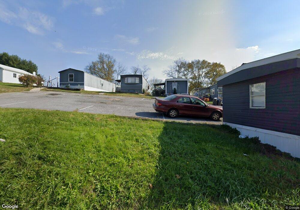
222 Myers St Hancock, MD 21750
--
Bed
5
Baths
3,596
Sq Ft
0.45
Acres
About This Home
This home is located at 222 Myers St, Hancock, MD 21750. 222 Myers St is a home located in Washington County with nearby schools including Hancock Elementary School and Hancock Middle Senior High School.
Ownership History
Date
Name
Owned For
Owner Type
Purchase Details
Closed on
Sep 19, 2019
Sold by
First Oreo Trust
Bought by
Tradewinds Properties Llc
Home Financials for this Owner
Home Financials are based on the most recent Mortgage that was taken out on this home.
Original Mortgage
$329,565
Outstanding Balance
$288,673
Interest Rate
3.6%
Mortgage Type
Commercial
Purchase Details
Closed on
Nov 2, 2016
Sold by
Rolling Hills Realty Inc
Bought by
United Bank And Trust
Purchase Details
Closed on
Sep 4, 1992
Sold by
Lanehart Roland E
Bought by
Hoffman Michael H and Hoffman Charlotte L
Home Financials for this Owner
Home Financials are based on the most recent Mortgage that was taken out on this home.
Original Mortgage
$56,000
Interest Rate
7.94%
Purchase Details
Closed on
Sep 13, 1989
Sold by
Lake Paul A
Bought by
Lanehart Roland E
Home Financials for this Owner
Home Financials are based on the most recent Mortgage that was taken out on this home.
Original Mortgage
$80,000
Interest Rate
10.17%
Create a Home Valuation Report for This Property
The Home Valuation Report is an in-depth analysis detailing your home's value as well as a comparison with similar homes in the area
Home Values in the Area
Average Home Value in this Area
Purchase History
| Date | Buyer | Sale Price | Title Company |
|---|---|---|---|
| Tradewinds Properties Llc | $63,229 | None Available | |
| United Bank And Trust | $75,000 | None Available | |
| Hoffman Michael H | $70,000 | -- | |
| Lanehart Roland E | $30,000 | -- |
Source: Public Records
Mortgage History
| Date | Status | Borrower | Loan Amount |
|---|---|---|---|
| Open | Tradewinds Properties Llc | $329,565 | |
| Previous Owner | Hoffman Michael H | $56,000 | |
| Previous Owner | Lanehart Roland E | $80,000 |
Source: Public Records
Tax History Compared to Growth
Tax History
| Year | Tax Paid | Tax Assessment Tax Assessment Total Assessment is a certain percentage of the fair market value that is determined by local assessors to be the total taxable value of land and additions on the property. | Land | Improvement |
|---|---|---|---|---|
| 2025 | $1,072 | $117,700 | $117,700 | $0 |
| 2024 | $1,072 | $117,700 | $117,700 | $0 |
| 2023 | $1,072 | $117,700 | $117,700 | $0 |
| 2022 | $1,072 | $117,700 | $117,700 | $0 |
| 2021 | $1,096 | $117,700 | $117,700 | $0 |
| 2020 | $1,096 | $117,700 | $78,000 | $39,700 |
| 2019 | $1,100 | $117,700 | $78,000 | $39,700 |
| 2018 | $1,427 | $117,700 | $78,000 | $39,700 |
| 2017 | $1,100 | $117,700 | $0 | $0 |
| 2016 | -- | $117,700 | $0 | $0 |
| 2015 | -- | $117,700 | $0 | $0 |
| 2014 | $1,083 | $117,700 | $0 | $0 |
Source: Public Records
Map
Nearby Homes
- 214 Jackson St
- 29 Parrell St
- 32 Taliaferro St
- 13 Taliaferro St
- 5 Brent St
- 216 Maryland Ave
- 145 E Main St
- 109 W High St
- 0 Fulton St
- 0 S Pennsylvania Ave
- 12 N Church St
- 102 E Main St
- 667 Thompson Rd
- 14300 Tollgate Ridge
- 5386 Pious Ridge Rd
- 3659 Fairview Dr
- 0 Forever View Ln Unit WVMO2005358
- 4014 Resley Rd
- 0 Black Oak Rd
- 170 Horseshoe Dr