Estimated Value: $397,060 - $530,000
2
Beds
1
Bath
1,854
Sq Ft
$253/Sq Ft
Est. Value
About This Home
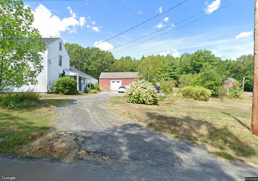
This home is located at 222 Richardson Rd, Ashby, MA 01431 and is currently estimated at $468,515, approximately $252 per square foot. 222 Richardson Rd is a home located in Middlesex County with nearby schools including North Middlesex Regional High School.
Ownership History
Date
Name
Owned For
Owner Type
Purchase Details
Closed on
Dec 30, 1994
Sold by
Gardner Rt and Raffi Robert F
Bought by
Cacioppo Philip and Cacioppo Gale J
Current Estimated Value
Home Financials for this Owner
Home Financials are based on the most recent Mortgage that was taken out on this home.
Original Mortgage
$65,000
Interest Rate
9.2%
Mortgage Type
Purchase Money Mortgage
Create a Home Valuation Report for This Property
The Home Valuation Report is an in-depth analysis detailing your home's value as well as a comparison with similar homes in the area
Home Values in the Area
Average Home Value in this Area
Purchase History
| Date | Buyer | Sale Price | Title Company |
|---|---|---|---|
| Cacioppo Philip | $112,000 | -- |
Source: Public Records
Mortgage History
| Date | Status | Borrower | Loan Amount |
|---|---|---|---|
| Open | Cacioppo Philip | $149,000 | |
| Closed | Cacioppo Philip | $15,000 | |
| Closed | Cacioppo Philip | $65,000 |
Source: Public Records
Tax History Compared to Growth
Tax History
| Year | Tax Paid | Tax Assessment Tax Assessment Total Assessment is a certain percentage of the fair market value that is determined by local assessors to be the total taxable value of land and additions on the property. | Land | Improvement |
|---|---|---|---|---|
| 2025 | $4,561 | $299,500 | $73,700 | $225,800 |
| 2024 | $4,254 | $273,900 | $71,300 | $202,600 |
| 2023 | $4,056 | $247,000 | $66,500 | $180,500 |
| 2022 | $3,955 | $223,600 | $76,700 | $146,900 |
| 2021 | $7,087 | $214,300 | $76,700 | $137,600 |
| 2020 | $3,937 | $209,100 | $75,600 | $133,500 |
| 2019 | $1,520 | $202,800 | $75,600 | $127,200 |
| 2018 | $7,798 | $193,600 | $61,300 | $132,300 |
| 2017 | $1,412 | $177,900 | $57,300 | $120,600 |
| 2016 | $3,576 | $177,900 | $57,300 | $120,600 |
| 2015 | $3,479 | $176,800 | $57,300 | $119,500 |
| 2014 | $3,406 | $178,300 | $57,300 | $121,000 |
Source: Public Records
Map
Nearby Homes
- 118 Spring Hill Rd
- 91 Deer Bay Rd
- 22 Beaver Dam Rd
- 47 Beaver Dam Rd
- 90 Log Cabin Rd
- 211 Log Cabin Rd
- 44.4 Allen Rd
- 1249 Richardson Rd
- 0 Rindge Turnpike
- 662 Main St
- 66 New Ipswich Rd
- Lot 6 Old Northfield Rd
- Lot 7 Old Northfield Rd
- Lot 8 Old Northfield Rd
- 0 Fitchburg State Rd
- 9 Hosmer Rd
- 0 Holt Rd
- 28 Hay Rd
- 58 Stone Brook Ln
- 1088 Ashby State Rd
- 170 Richardson Rd
- 252 Richardson Rd
- 254 Richardson Rd
- 169 Richardson Rd
- 164 Richardson Rd
- 279 Richardson Rd
- 256 Richardson Rd
- 35 Mayo Rd
- 47 Mayo Rd
- 128 Richardson Rd
- 328 Richardson Rd
- 75 Mayo Rd
- 345 Richardson Rd
- 88 Mayo Rd
- 371 Richardson Rd
- 113 Mayo Rd
- 102 Mayo Rd
- 35 Wood Dr
- 385 Richardson Rd
- 384 Richardson Rd