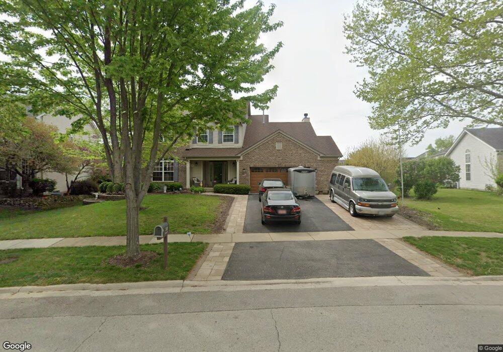
222 Southfield Dr Unit 1 Minooka, IL 60447
South DuPage River NeighborhoodEstimated Value: $414,287 - $576,000
--
Bed
--
Bath
2,976
Sq Ft
$159/Sq Ft
Est. Value
About This Home
This home is located at 222 Southfield Dr Unit 1, Minooka, IL 60447 and is currently estimated at $474,572, approximately $159 per square foot. 222 Southfield Dr Unit 1 is a home located in Will County with nearby schools including N B Galloway Elementary School, Three Rivers School, and Pioneer Path School.
Ownership History
Date
Name
Owned For
Owner Type
Purchase Details
Closed on
Aug 16, 2004
Sold by
Richard Smykal Inc
Bought by
Jarnutowski Bruce D and Jarnutowski Donna
Current Estimated Value
Home Financials for this Owner
Home Financials are based on the most recent Mortgage that was taken out on this home.
Original Mortgage
$256,074
Outstanding Balance
$127,826
Interest Rate
6.1%
Mortgage Type
Purchase Money Mortgage
Estimated Equity
$346,746
Create a Home Valuation Report for This Property
The Home Valuation Report is an in-depth analysis detailing your home's value as well as a comparison with similar homes in the area
Home Values in the Area
Average Home Value in this Area
Purchase History
| Date | Buyer | Sale Price | Title Company |
|---|---|---|---|
| Jarnutowski Bruce D | $322,000 | Chicago Title Insurance Co |
Source: Public Records
Mortgage History
| Date | Status | Borrower | Loan Amount |
|---|---|---|---|
| Open | Jarnutowski Bruce D | $256,074 |
Source: Public Records
Tax History Compared to Growth
Tax History
| Year | Tax Paid | Tax Assessment Tax Assessment Total Assessment is a certain percentage of the fair market value that is determined by local assessors to be the total taxable value of land and additions on the property. | Land | Improvement |
|---|---|---|---|---|
| 2024 | -- | $145,243 | $18,403 | $126,840 |
| 2023 | -- | $128,276 | $16,261 | $112,015 |
| 2022 | $0 | $113,433 | $15,234 | $98,199 |
| 2021 | $0 | $107,215 | $14,399 | $92,816 |
| 2020 | $8,067 | $104,907 | $14,089 | $90,818 |
| 2019 | $8,337 | $106,700 | $13,450 | $93,250 |
| 2018 | $9,306 | $115,150 | $12,553 | $102,597 |
| 2017 | $9,043 | $110,402 | $12,035 | $98,367 |
| 2016 | $8,817 | $105,952 | $11,550 | $94,402 |
| 2015 | $7,355 | $95,050 | $10,550 | $84,500 |
| 2014 | $7,355 | $89,560 | $10,226 | $79,334 |
| 2013 | $7,355 | $89,560 | $10,226 | $79,334 |
Source: Public Records
Map
Nearby Homes
- 9015 E Mcevilly Rd
- 25734 Hickory Ct
- 103 Northfield Dr
- 225 Sibley Dr
- 105 Northfield Dr
- 220 Santos Ave
- 23836 S Willow Ln
- 24055 S Lakeview Dr
- 218 San Carlos Rd
- 105 Blackhawk Dr
- 104 S Osceola St
- 25200 W Pawnee Ln
- 201 W Church St
- 405 W Mondamin St
- 24605 S River Trail
- 1158 Indian Grass Ct
- 24458 S St Paul Ave
- 25225 W Saint Elizabeth Dr Unit B32
- 25221 W Saint Elizabeth Dr Unit B33
- 25215 W Saint Elizabeth Dr Unit B34
- 220 Southfield Dr
- 224 Southfield Dr
- 218 Southfield Dr
- 302 Edgewood Dr
- 222 Edgewood Dr
- 304 Edgewood Dr
- 215 Southfield Dr
- 216 Southfield Dr
- 218 Edgewood Dr
- 213 Southfield Dr
- 231 Edgewood Dr
- 227 Edgewood Dr
- 214 Southfield Dr
- 235 Edgewood Dr
- 915 Rivers Edge Dr
- 911 Rivers Edge Dr Unit 1
- 223 Edgewood Dr
- 214 Edgewood Dr
- 211 Southfield Dr
- 219 Edgewood Dr