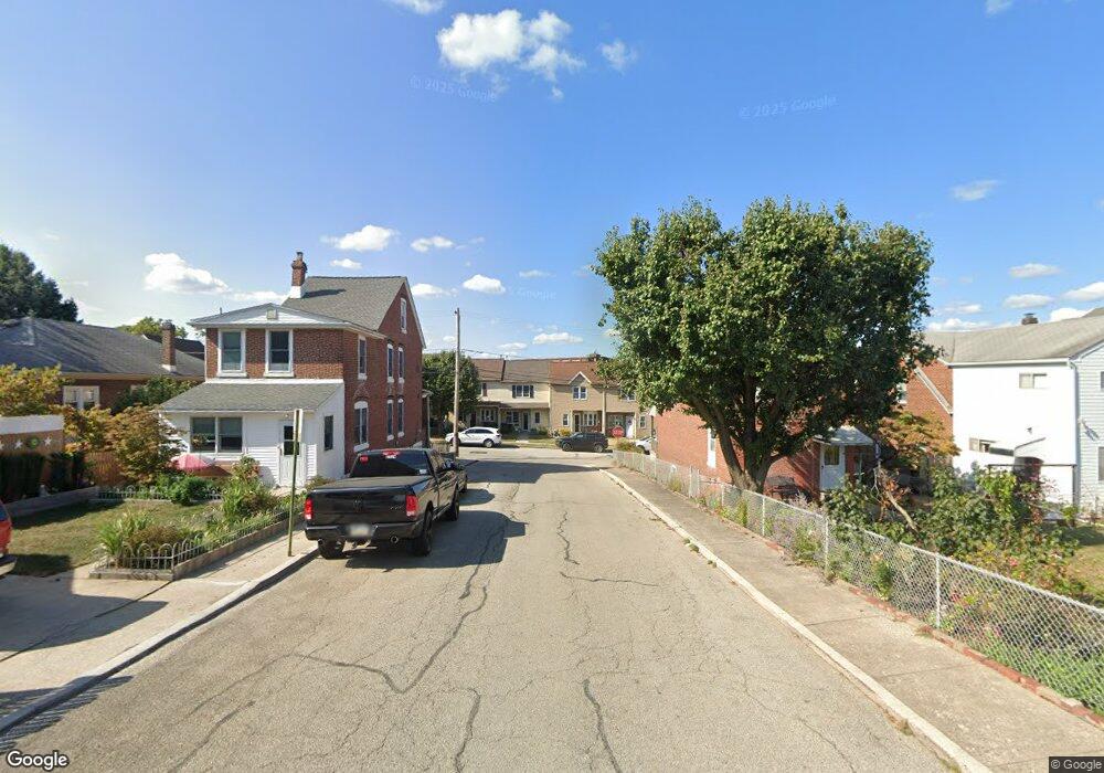
222 Tose St Bridgeport, PA 19405
Estimated Value: $336,000 - $595,000
3
Beds
2
Baths
2,150
Sq Ft
$200/Sq Ft
Est. Value
About This Home
This home is located at 222 Tose St, Bridgeport, PA 19405 and is currently estimated at $431,001, approximately $200 per square foot. 222 Tose St is a home with nearby schools including Bridgeport Elementary School, Upper Merion Middle School, and Upper Merion High School.
Ownership History
Date
Name
Owned For
Owner Type
Purchase Details
Closed on
Oct 17, 2020
Sold by
Biddle Kelly A and Keeley Kimberly A
Bought by
Gurkowski Bernard and Gurkowski Jacqueline
Current Estimated Value
Purchase Details
Closed on
Oct 22, 2015
Sold by
Gutkowski Bernard and Gutkowski Jacqueline
Bought by
Biddle Kelly A and Keeley Kimberly A
Purchase Details
Closed on
Feb 13, 1998
Sold by
Kolpak Ann and Sitarz Joseph
Bought by
Gutkowski Bernard and Gutkowski Jacqueline
Purchase Details
Closed on
Apr 30, 1996
Sold by
Sitarz John
Bought by
Sitarz John and Kolpak Ann
Create a Home Valuation Report for This Property
The Home Valuation Report is an in-depth analysis detailing your home's value as well as a comparison with similar homes in the area
Home Values in the Area
Average Home Value in this Area
Purchase History
| Date | Buyer | Sale Price | Title Company |
|---|---|---|---|
| Gurkowski Bernard | -- | None Available | |
| Biddle Kelly A | -- | None Available | |
| Gutkowski Bernard | $100,000 | -- | |
| Sitarz John | -- | -- |
Source: Public Records
Tax History Compared to Growth
Tax History
| Year | Tax Paid | Tax Assessment Tax Assessment Total Assessment is a certain percentage of the fair market value that is determined by local assessors to be the total taxable value of land and additions on the property. | Land | Improvement |
|---|---|---|---|---|
| 2025 | $3,502 | $113,640 | $48,630 | $65,010 |
| 2024 | $3,502 | $113,640 | $48,630 | $65,010 |
| 2023 | $3,378 | $113,640 | $48,630 | $65,010 |
| 2022 | $3,233 | $113,640 | $48,630 | $65,010 |
| 2021 | $3,166 | $113,640 | $48,630 | $65,010 |
| 2020 | $3,133 | $113,640 | $48,630 | $65,010 |
| 2019 | $2,993 | $113,640 | $48,630 | $65,010 |
| 2018 | $2,942 | $113,640 | $48,630 | $65,010 |
| 2017 | $2,837 | $113,640 | $48,630 | $65,010 |
| 2016 | $2,793 | $113,640 | $48,630 | $65,010 |
| 2015 | $2,793 | $113,640 | $48,630 | $65,010 |
| 2014 | $2,689 | $113,640 | $48,630 | $65,010 |
Source: Public Records
Map
Nearby Homes