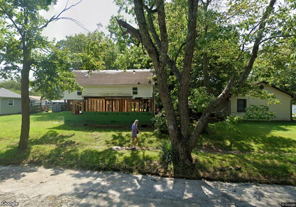
222 W Locust St Unit 1210728 Aurora, MO 65605
Estimated Value: $47,000 - $116,000
3
Beds
1
Bath
840
Sq Ft
$93/Sq Ft
Est. Value
About This Home
This home is located at 222 W Locust St Unit 1210728, Aurora, MO 65605 and is currently estimated at $78,435, approximately $93 per square foot. 222 W Locust St Unit 1210728 is a home located in Lawrence County with nearby schools including Pate Early Childhood Center, Robinson Intermediate School, and Robinson Elementary School.
Ownership History
Date
Name
Owned For
Owner Type
Purchase Details
Closed on
Mar 3, 2017
Sold by
Anfinson Garvin and Anfinson Sandy
Bought by
Gray Deven
Current Estimated Value
Purchase Details
Closed on
Dec 30, 2005
Sold by
Prewett Winite
Bought by
Anfinson Garvin and Anfinson Sandy
Purchase Details
Closed on
Dec 29, 2005
Sold by
U S Bank N A
Bought by
Anfinson Garvin and Anfinson Sandy
Create a Home Valuation Report for This Property
The Home Valuation Report is an in-depth analysis detailing your home's value as well as a comparison with similar homes in the area
Home Values in the Area
Average Home Value in this Area
Purchase History
| Date | Buyer | Sale Price | Title Company |
|---|---|---|---|
| Gray Deven | -- | None Available | |
| Anfinson Garvin | -- | Guaranty Title Company Of Sw | |
| Anfinson Garvin | -- | Guaranty Title Company |
Source: Public Records
Tax History Compared to Growth
Tax History
| Year | Tax Paid | Tax Assessment Tax Assessment Total Assessment is a certain percentage of the fair market value that is determined by local assessors to be the total taxable value of land and additions on the property. | Land | Improvement |
|---|---|---|---|---|
| 2025 | $131 | $2,770 | $1,140 | $1,630 |
| 2024 | $131 | $2,600 | $1,140 | $1,460 |
| 2023 | $130 | $2,600 | $1,140 | $1,460 |
| 2022 | $126 | $2,510 | $1,140 | $1,370 |
| 2021 | $126 | $2,510 | $1,140 | $1,370 |
| 2020 | $108 | $2,130 | $760 | $1,370 |
| 2019 | $106 | $2,130 | $760 | $1,370 |
| 2018 | $106 | $2,130 | $760 | $1,370 |
| 2017 | $105 | $2,130 | $760 | $1,370 |
| 2016 | -- | $2,000 | $760 | $1,240 |
| 2015 | -- | $2,000 | $760 | $1,240 |
| 2014 | -- | $2,000 | $760 | $1,240 |
Source: Public Records
Map
Nearby Homes
- 301 W Pleasant St
- 311 W Pleasant St
- 134 W Pleasant St
- 229 W College St
- 421 W College St
- 308 W Church St
- 30 W College St
- 504 S Lincoln Ave
- 114 E College St
- 000 State Highway 39
- 21 E Cofield St
- 111 W Cofield St
- 312 S Park Ave
- 503 Mcnatt Ave
- 828 S Roosevelt Ave
- 220 S Oak Ave
- 829 Rosemary Ave
- 417 E College St
- 1004 Baretta Ct
- 923 Rosemary Ave
- 222 W Locust St
- 218 W Locust St
- 200 S Harrison Ave
- 214 W Locust St
- 229 W Locust St
- 204 W Locust St
- 224 S Harrison Ave
- 221 W Locust St
- 217 W Locust St
- 217 W Locust St
- 300 W Locust St
- 209 W Locust St
- 205 W Locust St
- 227 W Pleasant St
- 209 W Pleasant St
- 305 W Locust St
- 215 W Pleasant St
- 219 W Pleasant St
- 312 W Locust St
- 309 W Locust St