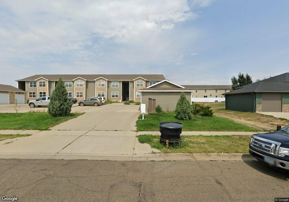
2220 1st St W Unit 204 Dickinson, ND 58601
Estimated Value: $170,000 - $317,000
2
Beds
2
Baths
1,300
Sq Ft
$179/Sq Ft
Est. Value
About This Home
This home is located at 2220 1st St W Unit 204, Dickinson, ND 58601 and is currently estimated at $232,768, approximately $179 per square foot. 2220 1st St W Unit 204 is a home located in Stark County with nearby schools including Trinity Elementary School West and Trinity Catholic Schools.
Ownership History
Date
Name
Owned For
Owner Type
Purchase Details
Closed on
Feb 2, 2022
Sold by
Range Aaron R and Range Ashley M
Bought by
Erie Jared D and Erie Brenda J
Current Estimated Value
Purchase Details
Closed on
Apr 7, 2015
Sold by
Range Vaughn and Range Kathleen
Bought by
Range Aaron R and Range Ashley M
Home Financials for this Owner
Home Financials are based on the most recent Mortgage that was taken out on this home.
Original Mortgage
$153,900
Interest Rate
3.77%
Mortgage Type
New Conventional
Purchase Details
Closed on
Aug 26, 2011
Sold by
Kershner Ronald K
Bought by
Markegard Blake and Markegard Trina
Home Financials for this Owner
Home Financials are based on the most recent Mortgage that was taken out on this home.
Original Mortgage
$144,248
Interest Rate
4.25%
Mortgage Type
FHA
Create a Home Valuation Report for This Property
The Home Valuation Report is an in-depth analysis detailing your home's value as well as a comparison with similar homes in the area
Home Values in the Area
Average Home Value in this Area
Purchase History
| Date | Buyer | Sale Price | Title Company |
|---|---|---|---|
| Erie Jared D | $140,000 | North Dakota Guaranty & Title | |
| Range Aaron R | -- | Trn Abstract & Title | |
| Markegard Blake | -- | Queen City Abstract Title & |
Source: Public Records
Mortgage History
| Date | Status | Borrower | Loan Amount |
|---|---|---|---|
| Previous Owner | Range Aaron R | $153,900 | |
| Previous Owner | Markegard Blake | $144,248 |
Source: Public Records
Tax History Compared to Growth
Tax History
| Year | Tax Paid | Tax Assessment Tax Assessment Total Assessment is a certain percentage of the fair market value that is determined by local assessors to be the total taxable value of land and additions on the property. | Land | Improvement |
|---|---|---|---|---|
| 2024 | $2,007 | $160,700 | $12,700 | $148,000 |
| 2023 | $1,585 | $160,700 | $12,700 | $148,000 |
| 2022 | $1,487 | $74,750 | $0 | $0 |
| 2021 | $1,467 | $142,600 | $12,700 | $129,900 |
| 2020 | $1,472 | $141,100 | $12,700 | $128,400 |
| 2019 | $1,476 | $141,100 | $12,700 | $128,400 |
| 2017 | $1,367 | $148,200 | $12,700 | $135,500 |
| 2015 | $1,367 | $156,100 | $12,800 | $143,300 |
| 2014 | $1,472 | $155,700 | $12,800 | $142,900 |
| 2013 | -- | $50,700 | $12,800 | $37,900 |
Source: Public Records
Map
Nearby Homes
- 2220 1st St W
- 2288 2nd St W
- 115 18th Ave W
- 2545 States Blvd
- 2634 Dakota Blvd
- 1467 Villard St W
- 1452 1st St W
- 1459 2nd St S
- 1381 1st St S
- 0 Lot 2 Block 1 Stable Estates Unit 23-213
- 0 Stable Estate Sub L3 B1 Unit 25-865
- 0 Lot 6a Block 1 Stable Estate Unit 24-28
- Tbd State Ave
- 0 Lot 5 Block 1 Stable Estates Unit 25-65
- 0 Estate Unit 24-30
- 0 Lot 7a Block 1 Stable Estate Unit 24-29
- 52 27th Ave SW
- 0 Lot 12 Block 1 Stable Estate Unit 23-226
- 0 Lot 10 Block 1 Stable Estate Unit 23-224
- 0 Lot 14 Block 1 Stable Estate Unit 23-228