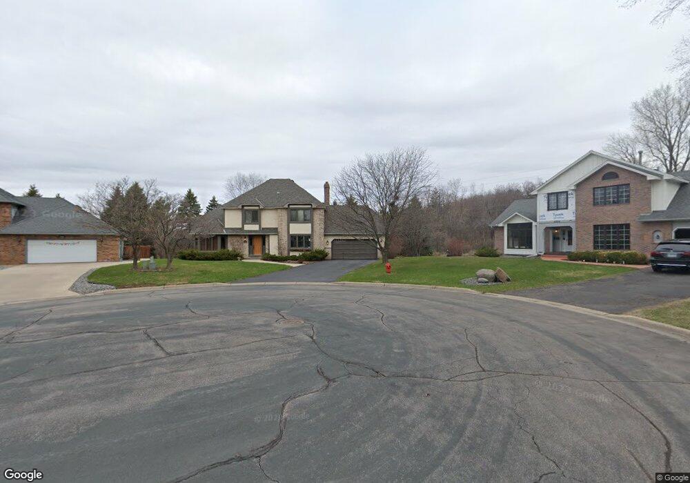
2220 High Pointe Ct Saint Paul, MN 55120
Estimated Value: $656,000 - $789,000
3
Beds
3
Baths
2,167
Sq Ft
$326/Sq Ft
Est. Value
About This Home
This home is located at 2220 High Pointe Ct, Saint Paul, MN 55120 and is currently estimated at $705,887, approximately $325 per square foot. 2220 High Pointe Ct is a home located in Dakota County with nearby schools including Mendota Elementary School, Friendly Hills Middle School, and Two Rivers High School.
Ownership History
Date
Name
Owned For
Owner Type
Purchase Details
Closed on
Mar 16, 2021
Sold by
Stai Jean M and Estate Of Ruth Ann Stai
Bought by
Ruth Ann Stai Trust
Current Estimated Value
Purchase Details
Closed on
May 2, 2018
Sold by
Penfield Arthur J and Stai Jean M
Bought by
Penfield Arthur J and Stai Jean M
Purchase Details
Closed on
Jul 11, 1996
Sold by
Kraut Donald J
Bought by
Stai Jean M
Create a Home Valuation Report for This Property
The Home Valuation Report is an in-depth analysis detailing your home's value as well as a comparison with similar homes in the area
Home Values in the Area
Average Home Value in this Area
Purchase History
| Date | Buyer | Sale Price | Title Company |
|---|---|---|---|
| Ruth Ann Stai Trust | -- | None Available | |
| Ruth Ann Stal Trust | -- | None Available | |
| Penfield Arthur J | -- | None Available | |
| Stai Jean M | $222,000 | -- |
Source: Public Records
Tax History
| Year | Tax Paid | Tax Assessment Tax Assessment Total Assessment is a certain percentage of the fair market value that is determined by local assessors to be the total taxable value of land and additions on the property. | Land | Improvement |
|---|---|---|---|---|
| 2024 | $5,934 | $613,800 | $204,000 | $409,800 |
| 2023 | $5,934 | $614,800 | $199,500 | $415,300 |
| 2022 | $5,318 | $617,100 | $199,000 | $418,100 |
| 2021 | $4,956 | $526,500 | $173,000 | $353,500 |
| 2020 | $5,092 | $489,000 | $164,800 | $324,200 |
| 2019 | $5,119 | $484,100 | $157,000 | $327,100 |
| 2018 | $4,609 | $462,200 | $146,600 | $315,600 |
| 2017 | $4,603 | $431,800 | $139,700 | $292,100 |
| 2016 | $4,620 | $411,000 | $133,000 | $278,000 |
| 2015 | $4,509 | $415,600 | $133,000 | $282,600 |
| 2014 | -- | $390,040 | $124,872 | $265,168 |
| 2013 | -- | $373,690 | $120,731 | $252,959 |
Source: Public Records
Map
Nearby Homes
- 2194 Charlton Rd
- 2360 Apache Ct
- 2498 Pond Cir E
- 2300 Pagel Rd
- 750 Mohican Ln
- 1912 South Ln
- 2510 Lockwood Dr Unit 47
- 260 Salem Church Rd
- 2556 Concord Way
- 2578 Bedford Ct Unit 15
- 2600 Lockwood Dr
- 2545 Concord Way Unit 115
- 240 Salem Church Rd
- 1885 Heather Ct
- 631 Callahan Place
- 1871 Chardel Ct
- 679 Marie Ave W
- 2012 Pine Ridge Dr
- 685 Hidden Creek Trail
- 1923 Fox Ridge Dr Unit B
- 2214 High Pointe Ct
- 2226 High Pointe Ct
- 2210 High Pointe Rd
- 2232 High Pointe Ct
- 2238 High Pointe Ct
- 2225 High Pointe Rd
- 2219 High Pointe Rd
- 2235 High Pointe Rd
- 542 Huber Dr
- 2215 High Pointe Rd
- 545 Huber Dr
- 2209 High Pointe Rd
- 2244 High Pointe Rd
- 2241 High Pointe Rd
- 2185 Glen Toro Rd
- 2230 Copperfield Dr
- 2238 Copperfield Dr
- 535 Stone Rd
- 2224 Copperfield Dr
- 2249 High Pointe Rd
Your Personal Tour Guide
Ask me questions while you tour the home.