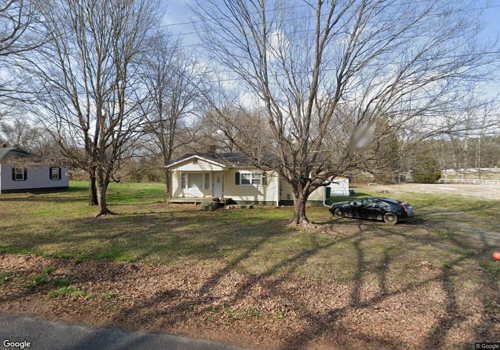
2220 Moore St Salisbury, NC 28144
Estimated Value: $133,000 - $242,000
About This Home
This home is located at 2220 Moore St, Salisbury, NC 28144 and is currently estimated at $172,737, approximately $173 per square foot. 2220 Moore St is a home located in Rowan County with nearby schools including North Rowan Elementary School, North Rowan Middle School, and North Rowan High School.
Ownership History
We collect this data history from publicly available records. To have your information removed, we recommend requesting removal directly through your county’s website.
Purchase Details
Purchase Details
Purchase Details
Purchase Details
Purchase Details
Purchase History
We collect this data history from publicly available records. To have your information removed, we recommend requesting removal directly through your county’s website.
| Date | Buyer | Sale Price | Title Company |
|---|---|---|---|
| $23,521 | None Available | ||
| $9,000 | None Available | ||
| $106,250 | None Available | ||
| $16,575 | None Available | ||
| $37,000 | -- |
Tax History
We collect this data history from publicly available records. To have your information removed, we recommend requesting removal directly through your county’s website.
| Year | Tax Paid | Tax Assessment Tax Assessment Total Assessment is a certain percentage of the fair market value that is determined by local assessors to be the total taxable value of land and additions on the property. | Land | Improvement |
|---|---|---|---|---|
| 2025 | $659 | $99,065 | $19,080 | $79,985 |
| 2024 | $659 | $99,065 | $19,080 | $79,985 |
| 2023 | $659 | $99,065 | $19,080 | $79,985 |
| 2022 | $426 | $57,346 | $10,600 | $46,746 |
| 2021 | $426 | $57,346 | $10,600 | $46,746 |
| 2020 | $426 | $57,346 | $10,600 | $46,746 |
| 2019 | $426 | $57,346 | $10,600 | $46,746 |
| 2018 | $353 | $47,986 | $10,600 | $37,386 |
| 2017 | $353 | $47,986 | $10,600 | $37,386 |
| 2016 | $353 | $47,986 | $10,600 | $37,386 |
| 2015 | $359 | $47,986 | $10,600 | $37,386 |
| 2014 | $332 | $46,397 | $7,420 | $38,977 |
Map
- 0 Tabor Dr
- 244 Tabor Dr
- 165 Hawkins Loop
- 00 Hawkinstown Rd
- 1135 Rosetta Dr
- 1145 Rosetta Dr
- 1155 Rosetta Dr
- 1165 Rosetta Dr
- 1175 Rosetta Dr
- 0 7th St
- 360 Trexler Loop
- 1004 Overhill Rd Unit 52-A & 53
- 1311 Red River Dr
- 1301 Red River Dr
- 1305 Red River Dr
- 401 Grant St
- 1770 Troon Dr
- 103 Hampshire Ct
- 151 Birkdale Dr
- 801 4th St
Ask me questions while you tour the home.