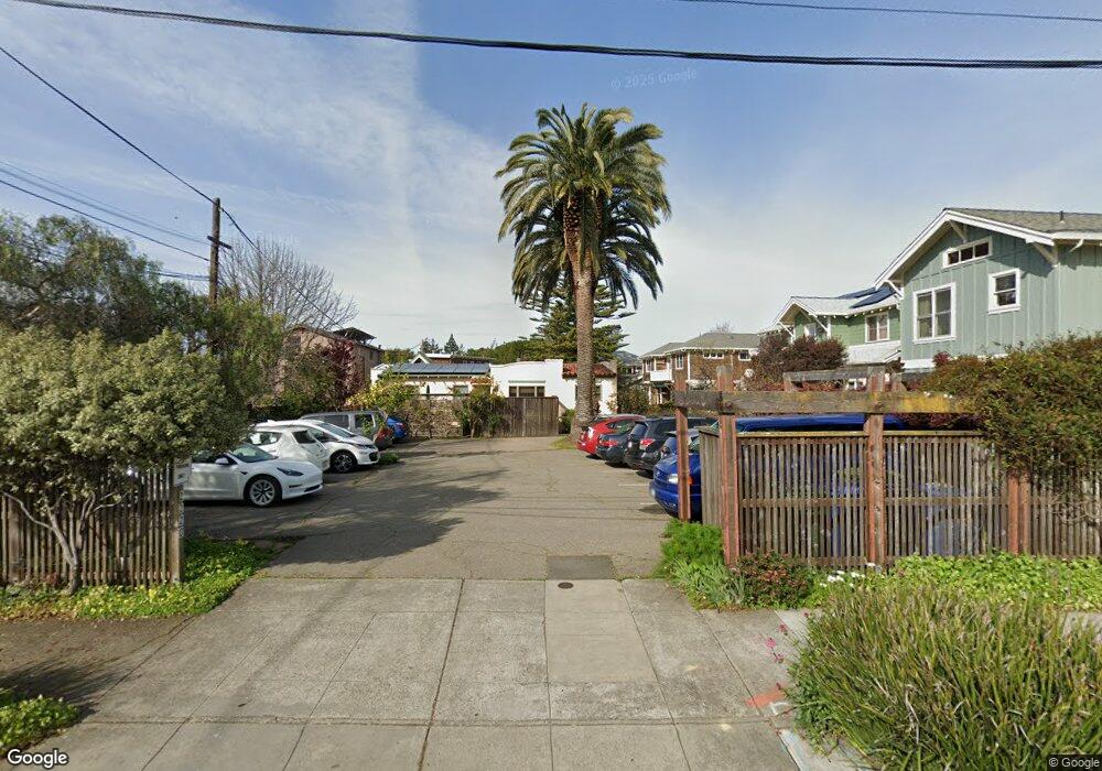
2220 Sacramento St Unit 14 Berkeley, CA 94702
West Berkeley NeighborhoodEstimated Value: $651,000 - $914,000
3
Beds
1
Bath
938
Sq Ft
$802/Sq Ft
Est. Value
About This Home
This home is located at 2220 Sacramento St Unit 14, Berkeley, CA 94702 and is currently estimated at $752,431, approximately $802 per square foot. 2220 Sacramento St Unit 14 is a home located in Alameda County with nearby schools including Washington Elementary School, Oxford Elementary School, and Malcolm X Elementary School.
Ownership History
Date
Name
Owned For
Owner Type
Purchase Details
Closed on
Jun 2, 2008
Sold by
Ferris Lloyd and Carleton Mary J
Bought by
Ferris Lloyd B and Carleton Mary J
Current Estimated Value
Purchase Details
Closed on
Jun 28, 1997
Sold by
Dobkin David and Dobkin Donna
Bought by
Ferris Lloyd and Carleton Mary J
Home Financials for this Owner
Home Financials are based on the most recent Mortgage that was taken out on this home.
Original Mortgage
$125,200
Outstanding Balance
$18,053
Interest Rate
7.57%
Mortgage Type
Purchase Money Mortgage
Estimated Equity
$734,378
Create a Home Valuation Report for This Property
The Home Valuation Report is an in-depth analysis detailing your home's value as well as a comparison with similar homes in the area
Home Values in the Area
Average Home Value in this Area
Purchase History
| Date | Buyer | Sale Price | Title Company |
|---|---|---|---|
| Ferris Lloyd B | -- | None Available | |
| Ferris Lloyd | $193,500 | Old Republic Title Company |
Source: Public Records
Mortgage History
| Date | Status | Borrower | Loan Amount |
|---|---|---|---|
| Open | Ferris Lloyd | $125,200 |
Source: Public Records
Tax History
| Year | Tax Paid | Tax Assessment Tax Assessment Total Assessment is a certain percentage of the fair market value that is determined by local assessors to be the total taxable value of land and additions on the property. | Land | Improvement |
|---|---|---|---|---|
| 2025 | $5,081 | $301,316 | $77,119 | $231,197 |
| 2024 | $5,081 | $295,272 | $75,607 | $226,665 |
| 2023 | $4,968 | $296,346 | $74,125 | $222,221 |
| 2022 | $4,869 | $283,535 | $72,671 | $217,864 |
| 2021 | $4,870 | $277,839 | $71,246 | $213,593 |
| 2020 | $4,605 | $281,919 | $70,516 | $211,403 |
| 2019 | $4,415 | $276,393 | $69,134 | $207,259 |
| 2018 | $4,335 | $270,974 | $67,778 | $203,196 |
| 2017 | $4,163 | $265,662 | $66,450 | $199,212 |
| 2016 | $4,016 | $260,454 | $65,147 | $195,307 |
| 2015 | $3,961 | $256,542 | $64,168 | $192,374 |
| 2014 | $3,929 | $251,518 | $62,912 | $188,606 |
Source: Public Records
Map
Nearby Homes
- 2304 Edwards St
- 2350 Sacramento St
- 2437 Acton St
- 1431 Dwight Way
- 2118 California St
- 1604 Dwight Way
- 2435 Bonar St
- 1516 Blake St
- 1516 Blake St Unit A
- 2324 Browning St
- 1524 Blake St
- 1634 Blake St
- 2231 Byron St
- 1612 Parker St
- 1411 Hearst Ave Unit 2
- 1512 Hearst Ave Unit 1512
- 2218 -2222 Grant St
- 1515 Derby St
- 1118 Dwight Way
- 1813 Sacramento St
- 2220 Sacramento St Unit 13
- 2220 Sacramento St Unit 12
- 2220 Sacramento St Unit 11
- 2220 Sacramento St Unit 10
- 2220 Sacramento St Unit 9
- 2220 Sacramento St Unit 8
- 2220 Sacramento St Unit 7
- 2220 Sacramento St Unit 6
- 2220 Sacramento St Unit 5
- 2220 Sacramento St Unit 4
- 2220 Sacramento St Unit 3
- 2220 Sacramento St Unit 2
- 2220 Sacramento St Unit 1
- 2226 Sacramento St Unit 2226
- 2226 Sacramento St Unit 2228
- 1435 Bancroft Way
- 1433 Bancroft Way
- 2240 Sacramento St
- 1437 Bancroft Way
- 1429 Bancroft Way
Your Personal Tour Guide
Ask me questions while you tour the home.