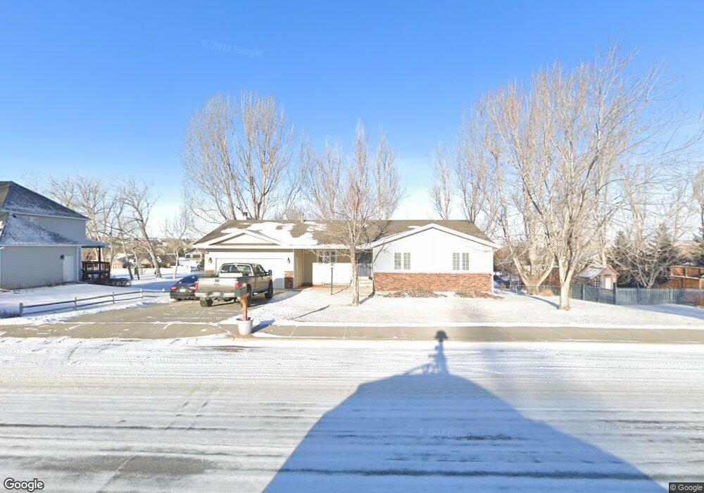
2220 St Andrews Dr Billings, MT 59105
Billings Heights NeighborhoodEstimated Value: $481,533 - $564,000
5
Beds
3
Baths
3,264
Sq Ft
$157/Sq Ft
Est. Value
About This Home
This home is located at 2220 St Andrews Dr, Billings, MT 59105 and is currently estimated at $512,133, approximately $156 per square foot. 2220 St Andrews Dr is a home located in Yellowstone County with nearby schools including Sandstone School, Castle Rock Junior High School, and Skyview High School.
Ownership History
Date
Name
Owned For
Owner Type
Purchase Details
Closed on
Apr 26, 2013
Sold by
Carroll E Vincent and Carroll Rebecca A
Bought by
Dahle Sally Ann
Current Estimated Value
Purchase Details
Closed on
Dec 28, 2011
Sold by
Carroll Vince and Carroll Becki
Bought by
Carroll Vince
Home Financials for this Owner
Home Financials are based on the most recent Mortgage that was taken out on this home.
Original Mortgage
$199,750
Interest Rate
3.94%
Mortgage Type
New Conventional
Purchase Details
Closed on
Nov 30, 2010
Sold by
Johnson Marlene N
Bought by
Carroll Vince and Carroll Becki
Create a Home Valuation Report for This Property
The Home Valuation Report is an in-depth analysis detailing your home's value as well as a comparison with similar homes in the area
Home Values in the Area
Average Home Value in this Area
Purchase History
| Date | Buyer | Sale Price | Title Company |
|---|---|---|---|
| Dahle Sally Ann | -- | None Available | |
| Carroll Vince | -- | None Available | |
| Carroll Vince | -- | None Available |
Source: Public Records
Mortgage History
| Date | Status | Borrower | Loan Amount |
|---|---|---|---|
| Previous Owner | Carroll Vince | $199,750 |
Source: Public Records
Tax History Compared to Growth
Tax History
| Year | Tax Paid | Tax Assessment Tax Assessment Total Assessment is a certain percentage of the fair market value that is determined by local assessors to be the total taxable value of land and additions on the property. | Land | Improvement |
|---|---|---|---|---|
| 2025 | $4,562 | $522,000 | $110,671 | $411,329 |
| 2024 | $4,562 | $469,200 | $104,310 | $364,890 |
| 2023 | $4,572 | $469,200 | $104,310 | $364,890 |
| 2022 | $3,097 | $328,000 | $0 | $0 |
| 2021 | $3,486 | $328,000 | $0 | $0 |
| 2020 | $3,518 | $318,100 | $0 | $0 |
| 2019 | $3,358 | $318,100 | $0 | $0 |
| 2018 | $3,106 | $287,100 | $0 | $0 |
| 2017 | $3,017 | $287,100 | $0 | $0 |
| 2016 | $2,810 | $270,200 | $0 | $0 |
| 2015 | $2,742 | $269,700 | $0 | $0 |
| 2014 | $2,469 | $128,366 | $0 | $0 |
Source: Public Records
Map
Nearby Homes
- 2115 Saint Andrews Dr
- 2143 Interlachen Dr
- 2049 Saint Andrews Dr
- 2029 Ridgeview Dr
- 1949 St Andrews Dr
- Lot 1, Block 1 Greenbriar Rd
- 2435 Lake Heights Dr
- 0 Greenbriar Block 12 Lot 5 Rd Unit 352965
- 2164 Greenbriar Rd
- TBD Gayle Block 17 Lot 8 Dr
- TBD Gayle Block 17 Lot 7 Dr
- 2500 Keel Dr
- TBD Gayle Block 17 Lot 4 Dr
- 0 Winged Foot Dr
- 2515 Constellation Trail
- 2030 Gayle Dr
- 00 Winged Foot Drive Lot 10
- 419 Montecito Ave
- TBD Gayle Blk 10 Lot 5 Dr
- 425 Montecito Ave
- 2220 Saint Andrews Dr
- 2212 St Andrews Dr
- 2232 Saint Andrews Dr
- 2232 St Andrews Dr
- 4 Annandale Rd
- Lot 29 Block 34 Annandale
- 100 Annandale Rd
- 2223 Saint Andrews Dr
- 2223 St Andrews Dr
- 2215 St Andrews Dr
- 2215 Saint Andrews Dr
- 2202 Saint Andrews Dr
- 2202 St Andrews Dr
- 2235 St Andrews Dr
- 2203 St Andrews Dr
- 114 Annandale Rd
- 2222 Ridgeview Dr
- 2214 Ridgeview Dr
- 2243 St Andrews Dr
- 2306 St Andrews Dr