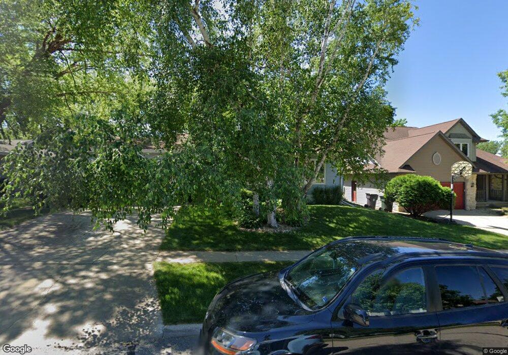
2220 Yorkshire Dr Cedar Falls, IA 50613
Estimated Value: $278,250 - $307,000
3
Beds
2
Baths
2,050
Sq Ft
$143/Sq Ft
Est. Value
About This Home
This home is located at 2220 Yorkshire Dr, Cedar Falls, IA 50613 and is currently estimated at $292,563, approximately $142 per square foot. 2220 Yorkshire Dr is a home located in Black Hawk County with nearby schools including Helen A. Hansen Elementary School, Holmes Junior High School, and Cedar Falls High School.
Ownership History
Date
Name
Owned For
Owner Type
Purchase Details
Closed on
Dec 15, 2011
Sold by
Johns Mark D and Johns Mary K
Bought by
Kaneyuki Julie T
Current Estimated Value
Home Financials for this Owner
Home Financials are based on the most recent Mortgage that was taken out on this home.
Original Mortgage
$133,600
Outstanding Balance
$91,102
Interest Rate
4.02%
Mortgage Type
New Conventional
Estimated Equity
$201,461
Create a Home Valuation Report for This Property
The Home Valuation Report is an in-depth analysis detailing your home's value as well as a comparison with similar homes in the area
Home Values in the Area
Average Home Value in this Area
Purchase History
| Date | Buyer | Sale Price | Title Company |
|---|---|---|---|
| Kaneyuki Julie T | $167,000 | None Available |
Source: Public Records
Mortgage History
| Date | Status | Borrower | Loan Amount |
|---|---|---|---|
| Open | Kaneyuki Julie T | $133,600 |
Source: Public Records
Tax History Compared to Growth
Tax History
| Year | Tax Paid | Tax Assessment Tax Assessment Total Assessment is a certain percentage of the fair market value that is determined by local assessors to be the total taxable value of land and additions on the property. | Land | Improvement |
|---|---|---|---|---|
| 2025 | $3,426 | $245,260 | $47,040 | $198,220 |
| 2024 | $3,426 | $223,130 | $47,040 | $176,090 |
| 2023 | $3,568 | $223,130 | $47,040 | $176,090 |
| 2022 | $3,608 | $202,110 | $47,040 | $155,070 |
| 2021 | $3,218 | $202,110 | $47,040 | $155,070 |
| 2020 | $3,150 | $181,400 | $31,360 | $150,040 |
| 2019 | $3,150 | $181,400 | $31,360 | $150,040 |
| 2018 | $3,010 | $171,580 | $31,360 | $140,220 |
| 2017 | $3,078 | $171,580 | $31,360 | $140,220 |
| 2016 | $2,878 | $171,580 | $31,360 | $140,220 |
| 2015 | $2,878 | $171,580 | $31,360 | $140,220 |
| 2014 | $2,912 | $171,580 | $31,360 | $140,220 |
Source: Public Records
Map
Nearby Homes
- 2126 Coventry Ln
- 2126 Oxford Ln
- 1104 Warwick Dr
- 2201 W 8th St
- 1916 Shelden Ave
- 538 Fireside Dr
- 1618 Quail Ridge Rd
- 423 Chateau Ct
- 2907 W 3rd St
- 1125 W 12th St
- 1212 W 7th St
- 1221 Catherine St
- 4035 Broomfield Dr
- 1025 W 8th St
- 1223 W 19th St
- 1014 W 8th St
- 3702 Apollo St
- 927 W 14th St
- 915 W 9th St
- 127 N Genevieve St
- 2214 Yorkshire Dr
- 2226 Yorkshire Dr
- 2304 Yorkshire Dr
- 2208 Yorkshire Dr
- 2202 Yorkshire Dr
- 2303 Yorkshire Dr
- 2213 Yorkshire Dr
- 2225 Yorkshire Dr
- 2310 Yorkshire Dr
- 2207 Yorkshire Dr
- 2201 Yorkshire Dr
- 2126 Yorkshire Dr
- 2318 Yorkshire Dr
- 2309 Yorkshire Dr
- 2212 W 12th St
- 2220 Coventry Ln
- 2125 Yorkshire Dr
- 2317 Yorkshire Dr
- 2208 Coventry Ln
- 2304 Coventry Ln