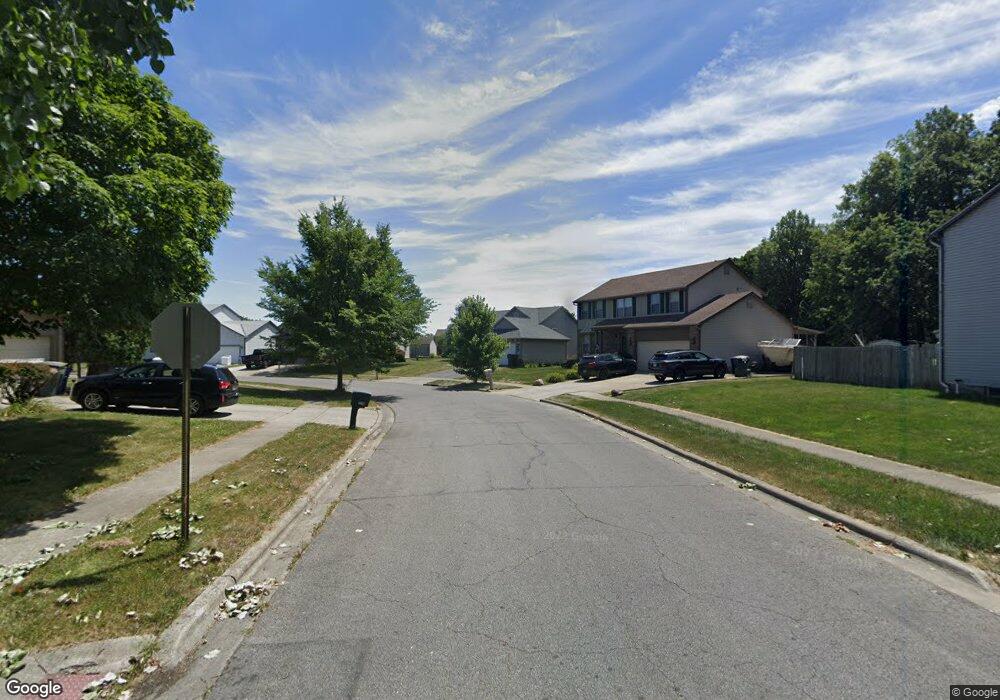
2222 Rolling Rock Dr Columbus, OH 43229
Forest Park East NeighborhoodEstimated Value: $315,270 - $342,000
3
Beds
3
Baths
1,472
Sq Ft
$226/Sq Ft
Est. Value
About This Home
This home is located at 2222 Rolling Rock Dr, Columbus, OH 43229 and is currently estimated at $332,818, approximately $226 per square foot. 2222 Rolling Rock Dr is a home located in Franklin County with nearby schools including Avalon Elementary School, Northgate Intermediate, and Woodward Park Middle School.
Ownership History
Date
Name
Owned For
Owner Type
Purchase Details
Closed on
Dec 30, 2002
Sold by
Rockford Homes Inc
Bought by
Mances Michael Edward
Current Estimated Value
Home Financials for this Owner
Home Financials are based on the most recent Mortgage that was taken out on this home.
Original Mortgage
$151,902
Interest Rate
6.23%
Mortgage Type
FHA
Create a Home Valuation Report for This Property
The Home Valuation Report is an in-depth analysis detailing your home's value as well as a comparison with similar homes in the area
Home Values in the Area
Average Home Value in this Area
Purchase History
| Date | Buyer | Sale Price | Title Company |
|---|---|---|---|
| Mances Michael Edward | $153,200 | Title First Agency Inc |
Source: Public Records
Mortgage History
| Date | Status | Borrower | Loan Amount |
|---|---|---|---|
| Previous Owner | Mances Michael Edward | $151,902 |
Source: Public Records
Tax History Compared to Growth
Tax History
| Year | Tax Paid | Tax Assessment Tax Assessment Total Assessment is a certain percentage of the fair market value that is determined by local assessors to be the total taxable value of land and additions on the property. | Land | Improvement |
|---|---|---|---|---|
| 2024 | $3,499 | $95,970 | $24,710 | $71,260 |
| 2023 | $3,437 | $95,970 | $24,710 | $71,260 |
| 2022 | $2,974 | $60,940 | $12,530 | $48,410 |
| 2021 | $3,034 | $60,940 | $12,530 | $48,410 |
| 2020 | $3,017 | $60,940 | $12,530 | $48,410 |
| 2019 | $2,694 | $48,030 | $10,050 | $37,980 |
| 2018 | $2,602 | $48,030 | $10,050 | $37,980 |
| 2017 | $2,596 | $48,030 | $10,050 | $37,980 |
| 2016 | $2,522 | $41,690 | $7,700 | $33,990 |
| 2015 | $2,522 | $41,690 | $7,700 | $33,990 |
| 2014 | $2,525 | $41,690 | $7,700 | $33,990 |
| 2013 | $1,318 | $43,890 | $8,120 | $35,770 |
Source: Public Records
Map
Nearby Homes
- 2550 Minerva Ave
- 2500 Maplewood Dr
- 2158 Kilbourne Ave
- 5056 Northtowne Blvd Unit 5054
- 2058 Northcliff Dr
- 4885 Northtowne Blvd
- 2294 Teakwood Dr
- 5204 Honeytree Loop W
- 2134 Trent Rd
- 4849 Heatherton Dr
- 0 Claridon Rd
- 2244 Balmoral Rd
- 2576 Claridon Rd
- 2033 Brittany Rd
- 2903 Kilbourne Ave
- 0 Chester Rd
- 2734 Alder Vista Dr
- 0 Alder Vista Dr
- 2691 Northwold Rd
- 2620 Wildwood Rd
- 2214 Rolling Rock Dr
- 2276 Rolling Rock Dr
- 2246 Rolling Rock Dr
- 2221 Rolling Rock Dr
- 2229 Rolling Rock Dr
- 2213 Rolling Rock Dr
- 2237 Rolling Rock Dr
- 2262 Rolling Rock Dr
- 5040 Avalon Ave
- 2283 Rolling Rock Dr
- 2275 Rolling Rock Dr
- 2295 Rolling Rock Dr
- 2269 Rolling Rock Dr
- 2278 Rolling Rock Dr
- 5070 Avalon Ave
- 2311 Rolling Rock Dr
- 5035 Avalon Ave
- 5045 Avalon Ave
- 2300 Rolling Rock Dr
- 5055 Avalon Ave