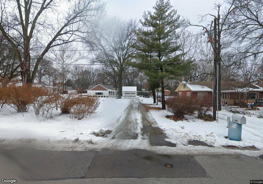
2223 Learnard Ave Lawrence, KS 66046
Barker NeighborhoodEstimated Value: $278,000 - $310,257
3
Beds
1
Bath
1,528
Sq Ft
$196/Sq Ft
Est. Value
About This Home
This home is located at 2223 Learnard Ave, Lawrence, KS 66046 and is currently estimated at $299,086, approximately $195 per square foot. 2223 Learnard Ave is a home located in Douglas County with nearby schools including Kennedy Elementary School, Liberty Memorial Central Middle School, and Lawrence High School.
Ownership History
Date
Name
Owned For
Owner Type
Purchase Details
Closed on
Dec 10, 2019
Sold by
Banning Bruce and Banning Patricia A Van Vilet
Bought by
Banning Bruce and Banning Van Vilet
Current Estimated Value
Purchase Details
Closed on
Aug 10, 2015
Sold by
Lindell Connie N and Lindell Larry E
Bought by
Banning Bruce and Banning Van Vliet
Home Financials for this Owner
Home Financials are based on the most recent Mortgage that was taken out on this home.
Original Mortgage
$60,000
Outstanding Balance
$47,349
Interest Rate
4.13%
Mortgage Type
Future Advance Clause Open End Mortgage
Estimated Equity
$251,737
Create a Home Valuation Report for This Property
The Home Valuation Report is an in-depth analysis detailing your home's value as well as a comparison with similar homes in the area
Home Values in the Area
Average Home Value in this Area
Purchase History
| Date | Buyer | Sale Price | Title Company |
|---|---|---|---|
| Banning Bruce | -- | None Available | |
| Banning Bruce | -- | Kansas Secured Title |
Source: Public Records
Mortgage History
| Date | Status | Borrower | Loan Amount |
|---|---|---|---|
| Open | Banning Bruce | $60,000 |
Source: Public Records
Tax History Compared to Growth
Tax History
| Year | Tax Paid | Tax Assessment Tax Assessment Total Assessment is a certain percentage of the fair market value that is determined by local assessors to be the total taxable value of land and additions on the property. | Land | Improvement |
|---|---|---|---|---|
| 2025 | $4,127 | $33,534 | $9,200 | $24,334 |
| 2024 | $3,917 | $31,872 | $8,625 | $23,247 |
| 2023 | $3,669 | $28,716 | $6,900 | $21,816 |
| 2022 | $3,457 | $26,887 | $6,325 | $20,562 |
| 2021 | $2,537 | $19,125 | $5,175 | $13,950 |
| 2020 | $2,470 | $18,722 | $5,175 | $13,547 |
| 2019 | $2,388 | $18,135 | $4,947 | $13,188 |
| 2018 | $2,674 | $20,114 | $4,720 | $15,394 |
| 2017 | $2,491 | $18,550 | $4,720 | $13,830 |
| 2016 | $2,209 | $17,215 | $4,884 | $12,331 |
| 2015 | $2,147 | $16,744 | $4,884 | $11,860 |
| 2014 | $2,155 | $16,962 | $4,884 | $12,078 |
Source: Public Records
Map
Nearby Homes
- 2301 Massachusetts St
- 2028 New Hampshire St
- 2045 Massachusetts St
- 2116 Kentucky St
- 2046 Kentucky St
- 331 E 19th St
- 5701 Johnson Ave
- 314 Oklahoma St
- 1221 E 25th St
- 1103 E 18th St
- 1625 Pennsylvania St
- 1829 Brook St
- 2014 Maple Ln
- 1736 Brook St
- 923 Ward Ave
- 1711 E 21st Terrace
- 1729 Mississippi St
- 2706 Bonanza St
- 1616 Louisiana St
- 1424 New York St
- 2231 Learnard Ave
- 2221 Learnard Ave
- 318 E 23rd St
- 2211 Learnard Ave
- 312 E 23rd St
- 2220 Learnard Ave
- 2205 Learnard Ave
- 2214 Learnard Ave
- 2240 Barker Ave
- 2242 Barker Ave
- 2208 Learnard Ave
- 2221 Pennsylvania St
- 2224 Barker Ave
- 2215 Pennsylvania St
- 2210 Barker Ave
- 2201 Learnard Ave
- 2145 Learnard Ave
- 2209 Pennsylvania St
- 308 E 23rd St
- 501 E 22nd Terrace