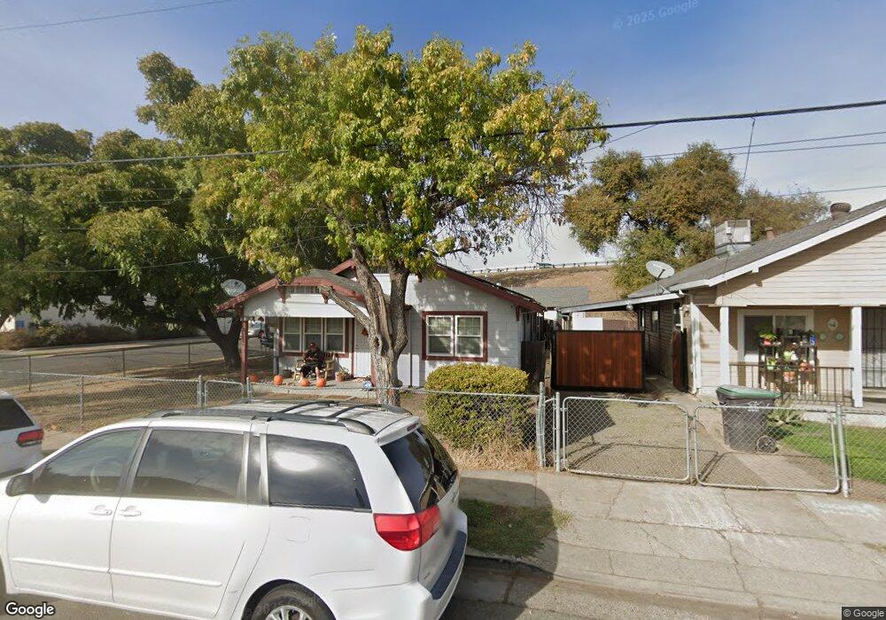
2223 W Fremont St Stockton, CA 95203
Seaport NeighborhoodEstimated Value: $280,000 - $317,351
2
Beds
1
Bath
1,120
Sq Ft
$265/Sq Ft
Est. Value
About This Home
This home is located at 2223 W Fremont St, Stockton, CA 95203 and is currently estimated at $296,588, approximately $264 per square foot. 2223 W Fremont St is a home located in San Joaquin County with nearby schools including Hoover Elementary School, Madison Elementary School, and Flora Arca Mata.
Ownership History
Date
Name
Owned For
Owner Type
Purchase Details
Closed on
Mar 20, 2018
Sold by
Lemos Joseph and Lemos Patricia
Bought by
Lemos Joseph and Lemos Patricia
Current Estimated Value
Home Financials for this Owner
Home Financials are based on the most recent Mortgage that was taken out on this home.
Original Mortgage
$138,500
Outstanding Balance
$118,514
Interest Rate
4.32%
Mortgage Type
New Conventional
Estimated Equity
$178,074
Purchase Details
Closed on
Mar 27, 1997
Sold by
Stevens Milton M and Stevens Betty J
Bought by
Lemos Joseph A and Lemos Patricia
Home Financials for this Owner
Home Financials are based on the most recent Mortgage that was taken out on this home.
Original Mortgage
$60,625
Interest Rate
7.63%
Create a Home Valuation Report for This Property
The Home Valuation Report is an in-depth analysis detailing your home's value as well as a comparison with similar homes in the area
Home Values in the Area
Average Home Value in this Area
Purchase History
| Date | Buyer | Sale Price | Title Company |
|---|---|---|---|
| Lemos Joseph | -- | North American Title Company | |
| Lemos Joseph A | $62,500 | Fidelity National Title |
Source: Public Records
Mortgage History
| Date | Status | Borrower | Loan Amount |
|---|---|---|---|
| Open | Lemos Joseph | $138,500 | |
| Closed | Lemos Joseph A | $60,625 |
Source: Public Records
Tax History Compared to Growth
Tax History
| Year | Tax Paid | Tax Assessment Tax Assessment Total Assessment is a certain percentage of the fair market value that is determined by local assessors to be the total taxable value of land and additions on the property. | Land | Improvement |
|---|---|---|---|---|
| 2025 | $1,409 | $107,032 | $40,711 | $66,321 |
| 2024 | $1,384 | $104,934 | $39,913 | $65,021 |
| 2023 | $1,351 | $102,878 | $39,131 | $63,747 |
| 2022 | $1,426 | $100,862 | $38,364 | $62,498 |
| 2021 | $1,375 | $98,885 | $37,612 | $61,273 |
| 2020 | $1,395 | $97,872 | $37,227 | $60,645 |
| 2019 | $1,387 | $95,954 | $36,498 | $59,456 |
| 2018 | $1,362 | $94,074 | $35,783 | $58,291 |
| 2017 | $1,300 | $92,231 | $35,082 | $57,149 |
| 2016 | $1,315 | $90,423 | $34,394 | $56,029 |
| 2014 | $1,204 | $83,035 | $33,214 | $49,821 |
Source: Public Records
Map
Nearby Homes
- 815 King Ave
- 2411 W Fremont St
- 2411 W Acacia St
- 2012 W Acacia St
- 2635 W Fremont St Unit 9
- 1961 Monte Diablo Ave
- 1302 Holt St
- 2529 Queen Ct
- 1860 Lucerne Ave
- 2204 Canal Dr
- 2884 W Rose St
- 2126 Clipper Ln
- 2150 Clipper Ln
- 2923 Monte Diablo Ave Unit 1
- 2935 Monte Diablo Ave Unit 3
- 2936 Peachtree Dr Unit 2
- 1747 Argonne Dr
- 1211 Pinetree Dr Unit 4
- 2943 Monte Diablo Ave Unit 4
- 2944 Peachtree Dr Unit 4
- 2211 W Fremont St
- 820 Wilshire Ave
- 2203 W Fremont St
- 2303 W Fremont St
- 815 Wilshire Ave
- 2319 W Fremont St
- 2183 W Fremont St
- 2327 W Fremont St
- 2176 W Fremont St
- 747 Wilshire Ave
- 838 King Ave
- 2168 W Fremont St
- 2160 W Fremont St
- 2165 W Park St
- 2157 W Park St
- 2404 W Acacia St
- 821 King Ave
- 827 King Ave
- 2206 Monte Diablo Ave
- 2212 Monte Diablo Ave