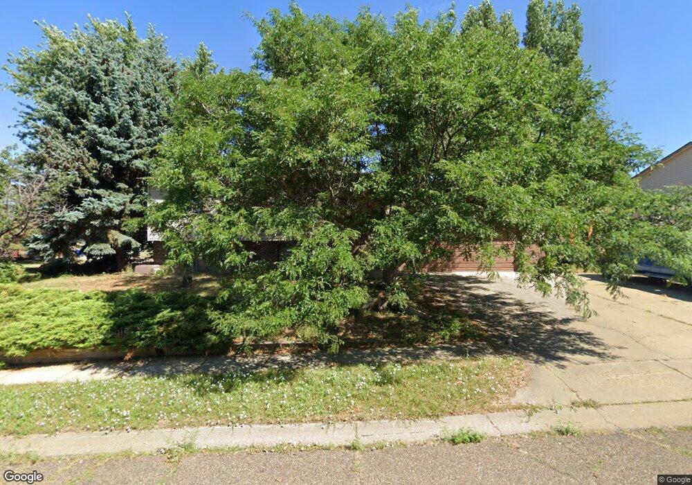
223 15th St E Dickinson, ND 58601
Estimated Value: $247,000 - $287,000
4
Beds
2
Baths
852
Sq Ft
$308/Sq Ft
Est. Value
About This Home
This home is located at 223 15th St E, Dickinson, ND 58601 and is currently estimated at $262,615, approximately $308 per square foot. 223 15th St E is a home located in Stark County with nearby schools including Hope Christian Academy.
Ownership History
Date
Name
Owned For
Owner Type
Purchase Details
Closed on
Aug 17, 2023
Sold by
Logan Ronda J
Bought by
Logan Devin Royal
Current Estimated Value
Home Financials for this Owner
Home Financials are based on the most recent Mortgage that was taken out on this home.
Original Mortgage
$196,377
Outstanding Balance
$190,929
Interest Rate
6.81%
Mortgage Type
FHA
Estimated Equity
$71,686
Purchase Details
Closed on
Dec 20, 2007
Sold by
Logan Leslie R
Bought by
Logan Derek L
Create a Home Valuation Report for This Property
The Home Valuation Report is an in-depth analysis detailing your home's value as well as a comparison with similar homes in the area
Home Values in the Area
Average Home Value in this Area
Purchase History
| Date | Buyer | Sale Price | Title Company |
|---|---|---|---|
| Logan Devin Royal | $200,000 | The Title Team | |
| Logan Derek L | $59,500 | Queen City Abstract Title & |
Source: Public Records
Mortgage History
| Date | Status | Borrower | Loan Amount |
|---|---|---|---|
| Open | Logan Devin Royal | $196,377 |
Source: Public Records
Tax History
| Year | Tax Paid | Tax Assessment Tax Assessment Total Assessment is a certain percentage of the fair market value that is determined by local assessors to be the total taxable value of land and additions on the property. | Land | Improvement |
|---|---|---|---|---|
| 2025 | $626 | $177,300 | $24,000 | $153,300 |
| 2024 | $1,693 | $177,300 | $24,000 | $153,300 |
| 2023 | $1,749 | $177,300 | $24,000 | $153,300 |
| 2022 | $1,659 | $83,350 | $0 | $0 |
| 2021 | $1,620 | $157,500 | $24,000 | $133,500 |
| 2020 | $1,643 | $157,500 | $24,000 | $133,500 |
| 2019 | $1,647 | $157,500 | $24,000 | $133,500 |
| 2017 | $1,614 | $164,200 | $24,000 | $140,200 |
| 2015 | $1,614 | $184,300 | $22,800 | $161,500 |
| 2014 | $1,684 | $178,100 | $22,800 | $155,300 |
| 2013 | -- | $171,900 | $22,800 | $149,100 |
Source: Public Records
Map
Nearby Homes
- 1667 2nd Ave E
- 1638 3rd Ave E
- 1965 1st Ave E
- 0 Tbd 20th St E
- 0 Tbd 20th St E
- 0 Western Dr
- 648 13th St E
- 967 Eaton Dr
- 0 6th Ave W Unit 26-16
- 0 6th Ave W Unit 25-375
- 957 Eaton Dr
- 1035 Foster Dr
- 1814 Prairie Ave
- 1814 #1 Prairie Ave
- 837 13th St E
- 867 2nd Ave W
- 847 11th St E
- 671 24th St W
- 966 3rd Ave E
- 0 19th St E
Your Personal Tour Guide
Ask me questions while you tour the home.