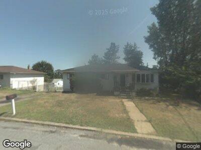
223 Dale Ave Scranton, PA 18504
West Mountain NeighborhoodEstimated Value: $65,983 - $211,000
--
Bed
--
Bath
--
Sq Ft
6,490
Sq Ft Lot
About This Home
This home is located at 223 Dale Ave, Scranton, PA 18504 and is currently estimated at $172,496. 223 Dale Ave is a home located in Lackawanna County with nearby schools including Isaac Tripp Elementary School, West Scranton Intrmd School, and West Scranton High School.
Ownership History
Date
Name
Owned For
Owner Type
Purchase Details
Closed on
Nov 11, 2021
Sold by
Sinkaus Barbara M
Bought by
Worsnick Sarah M and Sinkaus Bradley J
Current Estimated Value
Purchase Details
Closed on
Sep 18, 1989
Bought by
Sinkaus Joseph A and Sinkaus Barbara M
Create a Home Valuation Report for This Property
The Home Valuation Report is an in-depth analysis detailing your home's value as well as a comparison with similar homes in the area
Home Values in the Area
Average Home Value in this Area
Purchase History
| Date | Buyer | Sale Price | Title Company |
|---|---|---|---|
| Worsnick Sarah M | -- | None Available | |
| Sinkaus Joseph A | $75,000 | -- |
Source: Public Records
Mortgage History
| Date | Status | Borrower | Loan Amount |
|---|---|---|---|
| Open | Sinkaus Joseph A | $78,000 | |
| Closed | Sinkaus Joseph A | $16,000 |
Source: Public Records
Tax History Compared to Growth
Tax History
| Year | Tax Paid | Tax Assessment Tax Assessment Total Assessment is a certain percentage of the fair market value that is determined by local assessors to be the total taxable value of land and additions on the property. | Land | Improvement |
|---|---|---|---|---|
| 2025 | $4,273 | $14,000 | $1,050 | $12,950 |
| 2024 | $3,889 | $14,000 | $1,050 | $12,950 |
| 2023 | $3,889 | $14,000 | $1,050 | $12,950 |
| 2022 | $3,803 | $14,000 | $1,050 | $12,950 |
| 2021 | $3,803 | $14,000 | $1,050 | $12,950 |
| 2020 | $3,728 | $14,000 | $1,050 | $12,950 |
| 2019 | $3,501 | $14,000 | $1,050 | $12,950 |
| 2018 | $3,501 | $14,000 | $1,050 | $12,950 |
| 2017 | $3,436 | $14,000 | $1,050 | $12,950 |
| 2016 | $899 | $14,000 | $1,050 | $12,950 |
| 2015 | $2,208 | $14,000 | $1,050 | $12,950 |
| 2014 | -- | $14,000 | $1,050 | $12,950 |
Source: Public Records
Map
Nearby Homes
- 454 S Keyser Ave Unit K
- 295 Crisp Ave
- 0 Crisp Ave and Division St Unit 22-3646
- 2749 Jackson St
- 0 R Luzerne St
- 410 21st Ave
- 2833 Frink St
- 202 Park Edge Ln Unit Bldg D
- 2014 Preston Place
- 384 N Keyser Ave
- 1924 Luzerne & 20th St
- 394 N Keyser Ave
- 1909-1911 Luzerne St
- 1819 Luzerne St
- 115 Morris Ave
- 120 N Van Buren Ave
- 138-140 S Everett Ave
- 1711 Luzerne St
- 417 17th Ave
- 217 N Everett Ave