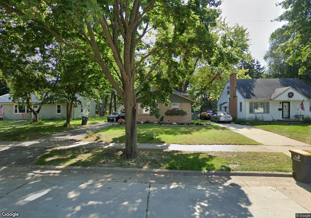
223 Hoover Ave Waukesha, WI 53186
Estimated Value: $328,000 - $414,000
4
Beds
2
Baths
1,815
Sq Ft
$200/Sq Ft
Est. Value
About This Home
This home is located at 223 Hoover Ave, Waukesha, WI 53186 and is currently estimated at $363,093, approximately $200 per square foot. 223 Hoover Ave is a home located in Waukesha County with nearby schools including Waukesha STEM Academy, Horning Middle School, and South High School.
Ownership History
Date
Name
Owned For
Owner Type
Purchase Details
Closed on
Apr 8, 2016
Sold by
Sorenson John J and Berg Tina M
Bought by
Knapkiewicz James G
Current Estimated Value
Home Financials for this Owner
Home Financials are based on the most recent Mortgage that was taken out on this home.
Original Mortgage
$171,000
Outstanding Balance
$135,581
Interest Rate
3.62%
Mortgage Type
New Conventional
Estimated Equity
$227,512
Create a Home Valuation Report for This Property
The Home Valuation Report is an in-depth analysis detailing your home's value as well as a comparison with similar homes in the area
Home Values in the Area
Average Home Value in this Area
Purchase History
| Date | Buyer | Sale Price | Title Company |
|---|---|---|---|
| Knapkiewicz James G | $180,000 | None Available |
Source: Public Records
Mortgage History
| Date | Status | Borrower | Loan Amount |
|---|---|---|---|
| Open | Knapkiewicz James G | $171,000 |
Source: Public Records
Tax History Compared to Growth
Tax History
| Year | Tax Paid | Tax Assessment Tax Assessment Total Assessment is a certain percentage of the fair market value that is determined by local assessors to be the total taxable value of land and additions on the property. | Land | Improvement |
|---|---|---|---|---|
| 2024 | $3,539 | $242,300 | $48,400 | $193,900 |
| 2023 | $3,430 | $242,300 | $48,400 | $193,900 |
| 2022 | $4,087 | $214,500 | $48,500 | $166,000 |
| 2021 | $4,180 | $214,500 | $48,500 | $166,000 |
| 2020 | $4,044 | $214,500 | $48,500 | $166,000 |
| 2019 | $3,915 | $214,500 | $48,500 | $166,000 |
| 2018 | $3,737 | $200,500 | $46,900 | $153,600 |
| 2017 | $3,730 | $200,500 | $46,900 | $153,600 |
| 2016 | $3,826 | $192,800 | $46,900 | $145,900 |
| 2015 | $3,804 | $192,800 | $46,900 | $145,900 |
| 2014 | $3,718 | $185,400 | $46,900 | $138,500 |
| 2013 | $3,809 | $185,400 | $46,800 | $138,600 |
Source: Public Records
Map
Nearby Homes
- 113 Coolidge Ave
- 1432 Big Bend Rd Unit E
- 312 W Wabash Ave
- 1522 Big Bend Rd Unit G
- 340 Frame Ave
- The Sequoia Plan at Aspen Overlook
- The Sycamore Plan at Aspen Overlook
- 1432 Tenny Ave Unit 201
- 1438 Tenny Ave Unit 101
- 1436 Tenny Ave Unit 101
- 1430 Tenny Ave Unit 201
- 401 S Grand Ave
- 1936 Cliff Alex Ct N
- 455 Standing Stone Dr
- 644 Standing Stone Dr
- 616 Standing Stone Dr
- The Sawyer Plan at Tenny Woods
- The Everest Plan at Tenny Woods
- The Elaine Plan at Tenny Woods
- The Margot Plan at Tenny Woods
- 219 Hoover Ave
- 218 Hoover Ave
- 222 Hoover Ave
- 226 Hoover Ave
- 227 Hoover Ave
- 215 Hoover Ave
- 214 Hoover Ave
- 1209 S Grand Ave
- 210 Hoover Ave
- 209 Hoover Ave
- 1213 S Grand Ave
- 1201 S Grand Ave
- 204 Garfield Cir
- 208 Garfield Cir
- 233 Hoover Ave
- 206 Hoover Ave
- 1217 S Grand Ave
- 236 Hoover Ave
- 203 Hoover Ave
- 1221 S Grand Ave