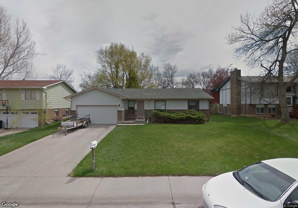
2231 Suffolk St Fort Collins, CO 80526
Brown Farm NeighborhoodEstimated Value: $532,000 - $577,000
4
Beds
3
Baths
2,964
Sq Ft
$185/Sq Ft
Est. Value
About This Home
This home is located at 2231 Suffolk St, Fort Collins, CO 80526 and is currently estimated at $546,861, approximately $184 per square foot. 2231 Suffolk St is a home located in Larimer County with nearby schools including Bauder Elementary School, Blevins Middle School, and Rocky Mountain High School.
Ownership History
Date
Name
Owned For
Owner Type
Purchase Details
Closed on
Aug 30, 2004
Sold by
Gehring Roger C
Bought by
Power Michael J and Power Martha A
Current Estimated Value
Home Financials for this Owner
Home Financials are based on the most recent Mortgage that was taken out on this home.
Original Mortgage
$176,000
Outstanding Balance
$87,718
Interest Rate
5.97%
Mortgage Type
Unknown
Estimated Equity
$459,143
Purchase Details
Closed on
Nov 1, 1993
Sold by
Cromer June E
Bought by
Gehring Roger C
Purchase Details
Closed on
Aug 30, 1971
Sold by
J R P W Construction Co
Bought by
Wheeler Realty Company
Create a Home Valuation Report for This Property
The Home Valuation Report is an in-depth analysis detailing your home's value as well as a comparison with similar homes in the area
Home Values in the Area
Average Home Value in this Area
Purchase History
| Date | Buyer | Sale Price | Title Company |
|---|---|---|---|
| Power Michael J | $222,500 | -- | |
| Gehring Roger C | $114,900 | -- | |
| Wheeler Realty Company | -- | -- |
Source: Public Records
Mortgage History
| Date | Status | Borrower | Loan Amount |
|---|---|---|---|
| Open | Power Michael J | $176,000 |
Source: Public Records
Tax History Compared to Growth
Tax History
| Year | Tax Paid | Tax Assessment Tax Assessment Total Assessment is a certain percentage of the fair market value that is determined by local assessors to be the total taxable value of land and additions on the property. | Land | Improvement |
|---|---|---|---|---|
| 2025 | $3,399 | $39,108 | $2,680 | $36,428 |
| 2024 | $3,234 | $39,108 | $2,680 | $36,428 |
| 2022 | $2,708 | $28,683 | $2,780 | $25,903 |
| 2021 | $2,737 | $29,508 | $2,860 | $26,648 |
| 2020 | $2,893 | $30,924 | $2,860 | $28,064 |
| 2019 | $2,906 | $30,924 | $2,860 | $28,064 |
| 2018 | $2,229 | $24,458 | $2,880 | $21,578 |
| 2017 | $2,221 | $24,458 | $2,880 | $21,578 |
| 2016 | $1,804 | $19,757 | $3,184 | $16,573 |
| 2015 | $1,791 | $19,750 | $3,180 | $16,570 |
| 2014 | $1,594 | $17,470 | $3,180 | $14,290 |
Source: Public Records
Map
Nearby Homes
- 2167 Romney Ave
- 1955 Kingsborough Dr
- 2449 W Stuart St
- 2001 Evergreen Dr
- 2001 W Prospect Rd
- 1405 Village Ln
- 1800 Rutledge Ct
- 2407 Merino Ct
- 2206 Rambouillet Dr
- 2518 W Lake St
- 1918 Ridgewood Rd
- 1213 S Taft Hill Rd
- 1507 Knotwood Ct
- 2513 Flintridge Place
- 1430 Wildwood Rd
- 1045 Montview Rd
- 1040 Ponderosa Dr
- 1040 Meadowbrook Dr
- 1028 Montview Rd
- 2929 Ross Dr Unit P46
- 2225 Suffolk St
- 2237 Suffolk St
- 2230 Shropshire Ave
- 2224 Shropshire Ave
- 2236 Shropshire Ave
- 2219 Suffolk St
- 2243 Suffolk St
- 2218 Shropshire Ave
- 2230 Suffolk St
- 2224 Suffolk St
- 2236 Suffolk St
- 2213 Suffolk St
- 2242 Shropshire Ave
- 2249 Suffolk St
- 2218 Suffolk St
- 2212 Shropshire Ave
- 2242 Suffolk St
- 2248 Shropshire Ave
- 2212 Suffolk St
- 2207 Suffolk St