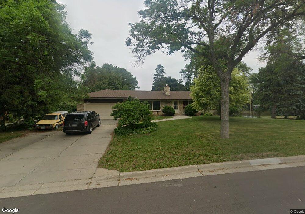
2233 Laurie Rd W Saint Paul, MN 55113
Midland Hills NeighborhoodEstimated Value: $520,000 - $546,000
3
Beds
3
Baths
1,104
Sq Ft
$480/Sq Ft
Est. Value
About This Home
This home is located at 2233 Laurie Rd W, Saint Paul, MN 55113 and is currently estimated at $530,349, approximately $480 per square foot. 2233 Laurie Rd W is a home located in Ramsey County with nearby schools including Brimhall Elementary School, Roseville Area Middle School, and Roseville Area Senior High School.
Ownership History
Date
Name
Owned For
Owner Type
Purchase Details
Closed on
Jul 10, 2017
Sold by
Ritchie Linda M and Silvis Deborah
Bought by
Busch Chard and Phelps Kathryn Busch
Current Estimated Value
Home Financials for this Owner
Home Financials are based on the most recent Mortgage that was taken out on this home.
Original Mortgage
$370,500
Outstanding Balance
$307,992
Interest Rate
3.91%
Mortgage Type
New Conventional
Estimated Equity
$222,357
Create a Home Valuation Report for This Property
The Home Valuation Report is an in-depth analysis detailing your home's value as well as a comparison with similar homes in the area
Home Values in the Area
Average Home Value in this Area
Purchase History
| Date | Buyer | Sale Price | Title Company |
|---|---|---|---|
| Busch Chard | -- | None Available |
Source: Public Records
Mortgage History
| Date | Status | Borrower | Loan Amount |
|---|---|---|---|
| Open | Busch Chard | $370,500 |
Source: Public Records
Tax History Compared to Growth
Tax History
| Year | Tax Paid | Tax Assessment Tax Assessment Total Assessment is a certain percentage of the fair market value that is determined by local assessors to be the total taxable value of land and additions on the property. | Land | Improvement |
|---|---|---|---|---|
| 2025 | $6,024 | $476,900 | $162,000 | $314,900 |
| 2023 | $6,024 | $429,000 | $129,000 | $300,000 |
| 2022 | $5,900 | $420,700 | $129,000 | $291,700 |
| 2021 | $5,506 | $393,900 | $129,000 | $264,900 |
| 2020 | $5,876 | $392,800 | $90,300 | $302,500 |
| 2019 | $5,350 | $392,800 | $90,300 | $302,500 |
| 2018 | $4,760 | $351,300 | $85,800 | $265,500 |
| 2017 | $4,354 | $308,600 | $85,800 | $222,800 |
| 2016 | $4,924 | $0 | $0 | $0 |
| 2015 | $5,154 | $332,000 | $121,100 | $210,900 |
| 2014 | $5,046 | $0 | $0 | $0 |
Source: Public Records
Map
Nearby Homes
- 2252 Highway 36 W
- 2265 Marion Rd
- 2202 Midland View Ct N
- 2415 Laurie Ct W
- 2180 Eustis St
- 2179 Eustis St
- 2167 N Eustis St
- 2220 Midland Grove Rd Unit 307
- 2240 Midland Grove Rd Unit 108
- 2230 Midland Grove Rd Unit 208
- 2220 Midland Grove Rd Unit 202
- 2220 Midland Grove Rd Unit 304
- 2240 Midland Grove Rd Unit 201
- 2210 Midland Grove Rd Unit 306
- 2167 Rosewood Ln N
- 2044 Eldridge Ave W
- 1986 Sharondale Ave
- 1940 Fulham St Unit 104
- 1930 Westwood Cir
- 2164 Eustis St
- 2245 Laurie Rd W
- 2234 Laurie Rd W
- 2226 Laurie Rd W
- 2248 Laurie Rd W
- 2216 Laurie Rd W
- 2255 Laurie Rd W
- 2244 Highway 36 W
- 2218 Highway 36 W
- 2223 Marion Rd
- 2269 Marion Rd
- 2266 Marion Rd
- 2256 Laurie Rd W
- 2240 Marion Rd
- 2272 Marion Rd
- 2263 Laurie Rd W
- 2212 Midland View Ct N
- 2260 Highway 36 W
- 2206 Highway 36 W
- 2250 Marion Rd
- 2210 Midland View Ct N