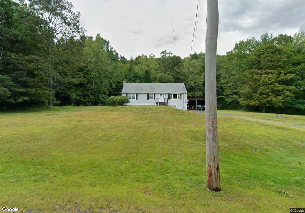
2237 Conway Rd Ashfield, MA 01330
Ashfield NeighborhoodEstimated Value: $232,000 - $384,014
3
Beds
2
Baths
1,352
Sq Ft
$244/Sq Ft
Est. Value
About This Home
This home is located at 2237 Conway Rd, Ashfield, MA 01330 and is currently estimated at $330,254, approximately $244 per square foot. 2237 Conway Rd is a home located in Franklin County with nearby schools including Mohawk Trail Regional High School.
Ownership History
Date
Name
Owned For
Owner Type
Purchase Details
Closed on
Dec 31, 2003
Sold by
Robertson Christopher and Robertson Jeannie M
Bought by
Robertson Jeannie M
Current Estimated Value
Purchase Details
Closed on
Sep 1, 1999
Sold by
Robertson Robvert and Robertson Ruth Ann
Bought by
Robertson Christopher and Robertson Jeannie M
Home Financials for this Owner
Home Financials are based on the most recent Mortgage that was taken out on this home.
Original Mortgage
$110,000
Interest Rate
7.5%
Mortgage Type
Purchase Money Mortgage
Purchase Details
Closed on
Nov 5, 1998
Sold by
Truesdell Agnes A
Bought by
Robertson Robert and Robertson Ruth Ann
Home Financials for this Owner
Home Financials are based on the most recent Mortgage that was taken out on this home.
Original Mortgage
$80,000
Interest Rate
6.64%
Mortgage Type
Purchase Money Mortgage
Create a Home Valuation Report for This Property
The Home Valuation Report is an in-depth analysis detailing your home's value as well as a comparison with similar homes in the area
Home Values in the Area
Average Home Value in this Area
Purchase History
| Date | Buyer | Sale Price | Title Company |
|---|---|---|---|
| Robertson Jeannie M | -- | -- | |
| Robertson Christopher | $130,000 | -- | |
| Robertson Robert | $130,000 | -- |
Source: Public Records
Mortgage History
| Date | Status | Borrower | Loan Amount |
|---|---|---|---|
| Open | Robertson Robert | $87,500 | |
| Previous Owner | Robertson Robert | $110,000 | |
| Previous Owner | Robertson Robert | $80,000 |
Source: Public Records
Tax History
| Year | Tax Paid | Tax Assessment Tax Assessment Total Assessment is a certain percentage of the fair market value that is determined by local assessors to be the total taxable value of land and additions on the property. | Land | Improvement |
|---|---|---|---|---|
| 2025 | $3,964 | $294,500 | $87,300 | $207,200 |
| 2024 | $4,073 | $278,800 | $87,300 | $191,500 |
| 2023 | $3,946 | $224,100 | $69,900 | $154,200 |
| 2022 | $3,636 | $209,200 | $66,400 | $142,800 |
| 2021 | $3,437 | $207,700 | $66,400 | $141,300 |
| 2020 | $3,460 | $207,700 | $66,400 | $141,300 |
| 2019 | $3,394 | $197,800 | $62,100 | $135,700 |
| 2018 | $3,398 | $197,800 | $62,100 | $135,700 |
| 2017 | $3,260 | $201,000 | $61,200 | $139,800 |
| 2016 | $3,133 | $190,600 | $61,200 | $129,400 |
| 2015 | $3,044 | $190,600 | $61,200 | $129,400 |
| 2014 | $3,198 | $197,900 | $57,600 | $140,300 |
Source: Public Records
Map
Nearby Homes
- 240 Beldingville Rd
- 0 N Bear River Rd Unit 73485981
- 527 Main St
- 40 Suburban Dr
- 2930 Shelburne Falls Rd
- 220 Hawley Rd
- 0 Sears Rd Unit 73373850
- 71 Mathews Rd
- 0 Upper St
- 7 Hog Hollow Rd
- 13 Bray Rd
- 0 John Ford Rd Unit 73403156
- 15 Stillwater Rd
- 10 Deerfield Ave Unit 2
- 146 Berkshire Trail W
- 30 Main St
- 41 Upper Rd
- 333 Ranney Corner Rd
- 311 Cummington Rd
- 11 S Chesterfield Rd
- 2201 Conway Rd
- 1528 Ashfield Rd
- 2155 Conway Rd
- 2132 Conway Rd
- 1446 Ashfield Rd
- 2003 Conway Rd
- 42 N Poland Rd
- 1128 Ashfield Rd
- 20 N Poland Rd
- 9 Conway Rd Rt 116
- 1126 Ashfield Rd
- 1948 Conway Rd
- 67 N Poland Rd
- 1903 Conway Rd
- 71 N Poland Rd
- 128 N Poland Rd
- 531 Hill Rd
- 1976 Conway Rd
- 129 N Poland Rd
- 501 Hill Rd
Your Personal Tour Guide
Ask me questions while you tour the home.