22374 171st St Basehor, KS 66007
Estimated Value: $519,000 - $753,842
3
Beds
3
Baths
1,968
Sq Ft
$339/Sq Ft
Est. Value
About This Home
This home is located at 22374 171st St, Basehor, KS 66007 and is currently estimated at $666,614, approximately $338 per square foot. 22374 171st St is a home located in Leavenworth County with nearby schools including Basehor Elementary School, Basehor-Linwood Middle School, and Basehor-Linwood High School.
Ownership History
Date
Name
Owned For
Owner Type
Purchase Details
Closed on
May 21, 2024
Sold by
Franke Daniel J and Franke Kimberly
Bought by
Franke Family Trust and Franke
Current Estimated Value
Purchase Details
Closed on
Jun 1, 2005
Bought by
Franke Daniel J and Franke Kimberly
Home Financials for this Owner
Home Financials are based on the most recent Mortgage that was taken out on this home.
Original Mortgage
$300,000
Interest Rate
5.65%
Mortgage Type
New Conventional
Create a Home Valuation Report for This Property
The Home Valuation Report is an in-depth analysis detailing your home's value as well as a comparison with similar homes in the area
Home Values in the Area
Average Home Value in this Area
Purchase History
| Date | Buyer | Sale Price | Title Company |
|---|---|---|---|
| Franke Family Trust | -- | None Listed On Document | |
| Franke Daniel J | $340,000 | -- |
Source: Public Records
Mortgage History
| Date | Status | Borrower | Loan Amount |
|---|---|---|---|
| Previous Owner | Franke Daniel J | $300,000 | |
| Closed | Franke Daniel J | $250,000 |
Source: Public Records
Tax History
| Year | Tax Paid | Tax Assessment Tax Assessment Total Assessment is a certain percentage of the fair market value that is determined by local assessors to be the total taxable value of land and additions on the property. | Land | Improvement |
|---|---|---|---|---|
| 2025 | $7,776 | $65,841 | $10,500 | $55,341 |
| 2024 | $7,171 | $65,740 | $10,266 | $55,474 |
| 2023 | $7,171 | $63,738 | $9,688 | $54,050 |
| 2022 | $6,627 | $55,772 | $9,397 | $46,375 |
| 2021 | $5,949 | $50,409 | $7,896 | $42,513 |
| 2020 | $5,767 | $47,850 | $7,553 | $40,297 |
| 2019 | $5,485 | $45,740 | $6,903 | $38,837 |
| 2018 | $5,224 | $43,499 | $5,639 | $37,860 |
| 2017 | $3,824 | $31,863 | $5,597 | $26,266 |
| 2016 | $3,666 | $30,719 | $5,474 | $25,245 |
| 2015 | $3,458 | $29,100 | $4,776 | $24,324 |
| 2014 | $3,372 | $28,464 | $4,668 | $23,796 |
Source: Public Records
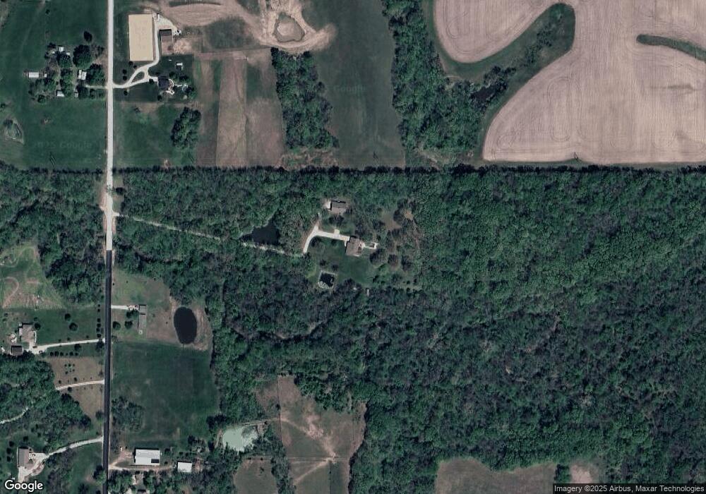
Map
Nearby Homes
- 22119 171st St
- 16551 Hollingsworth Rd
- 21851 179th St
- 22617 155th St
- 17880 Tonganoxie Dr
- 15038 Fairmount Rd
- 15280 Roger Rd
- 15609 Pebble Dr
- 20230 168th St
- 0 159th St Unit HMS2603847
- 3701 N 153rd St
- 3413 N 154th Terrace Ct
- 5025 146th St
- 5023 146th St
- 15424 Poplar St
- 4943 146th St
- 4941 146th St
- 4927 146th St
- 4925 146th St
- 4915 146th St
- 22350 171st St
- 00000 171st St
- 22400 171st St
- 22451 171st St
- 22323 171st St
- 22184 171st St
- 22267 171st St
- 22221 171st St
- 22165 171st St
- 22130 171st St
- 22100 168th St
- 16830 Hollingsworth Rd
- 22102 171st St
- 16835 Fairmount Rd
- 22075 168th St
- 17000 Hollingsworth Rd
- 16956 Hollingsworth Rd
- 17026 Hollingsworth Rd
- 22060 171st St
- 16866 Hollingsworth Rd
Your Personal Tour Guide
Ask me questions while you tour the home.