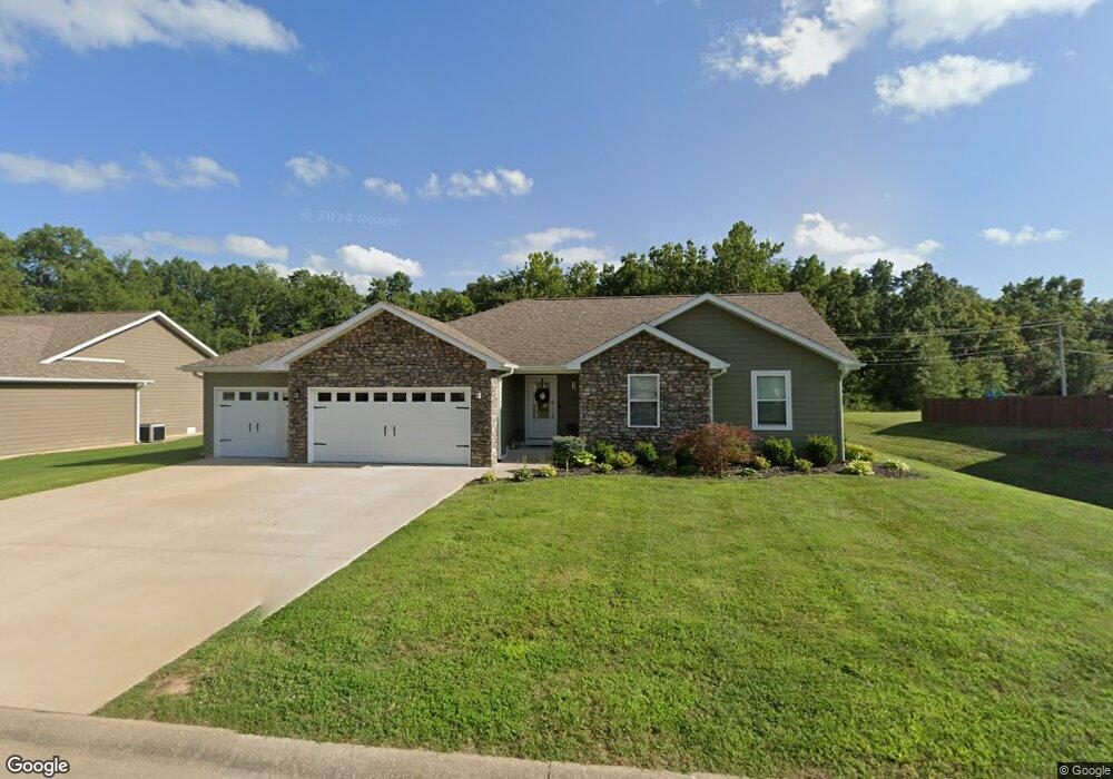
2238 Brookside Ln West Plains, MO 65775
Estimated Value: $187,793 - $348,000
Studio
--
Bath
--
Sq Ft
0.41
Acres
About This Home
This home is located at 2238 Brookside Ln, West Plains, MO 65775 and is currently estimated at $269,698. 2238 Brookside Ln is a home with nearby schools including Faith Assembly Christian School.
Ownership History
Date
Name
Owned For
Owner Type
Purchase Details
Closed on
Sep 1, 2017
Sold by
Stoney Brook Development Llc
Bought by
Trail Stephanie
Current Estimated Value
Home Financials for this Owner
Home Financials are based on the most recent Mortgage that was taken out on this home.
Original Mortgage
$134,400
Outstanding Balance
$116,710
Interest Rate
5.5%
Mortgage Type
Adjustable Rate Mortgage/ARM
Estimated Equity
$152,988
Purchase Details
Closed on
May 23, 2006
Sold by
King William M
Bought by
King Michael A and Brovont Michelle R
Create a Home Valuation Report for This Property
The Home Valuation Report is an in-depth analysis detailing your home's value as well as a comparison with similar homes in the area
Home Values in the Area
Average Home Value in this Area
Purchase History
| Date | Buyer | Sale Price | Title Company |
|---|---|---|---|
| Trail Stephanie | -- | None Available | |
| King Michael A | -- | None Available |
Source: Public Records
Mortgage History
| Date | Status | Borrower | Loan Amount |
|---|---|---|---|
| Open | Trail Stephanie | $134,400 |
Source: Public Records
Tax History Compared to Growth
Tax History
| Year | Tax Paid | Tax Assessment Tax Assessment Total Assessment is a certain percentage of the fair market value that is determined by local assessors to be the total taxable value of land and additions on the property. | Land | Improvement |
|---|---|---|---|---|
| 2025 | $1,040 | $25,370 | $2,190 | $23,180 |
| 2024 | $1,029 | $22,650 | -- | -- |
| 2023 | $1,029 | $22,650 | $0 | $0 |
| 2022 | $973 | $21,410 | $0 | $0 |
| 2020 | $917 | $20,170 | $0 | $0 |
| 2019 | $956 | $20,170 | $0 | $0 |
| 2018 | $956 | $20,170 | $0 | $0 |
Source: Public Records
Map
Nearby Homes
- 107 Cobblestone Dr
- 000 E State Route K
- 36 Dogwood Cir
- 000 Quail Run Estates
- 2360 E State Route K
- 406 Bob White Ln
- Tbd Dogwood Cir
- 4591 County Road 6300
- 2009 Big Deer Run
- 2008 Wild Turkey Trail
- 000 Wild Turkey Trail Unit Block 1 Lot 6
- 000 Wild Turkey Trail Unit Block 1 Lot 1
- 000 Wild Turkey Trail Unit Block 1 Lot 10
- 000 Wild Turkey Trail Unit Block 1 Lot 9
- 000 Wild Turkey Trail Unit Block 1 Lot 3
- 000 Wild Turkey Trail Unit Block 1 Lot 5
- 000 Wild Turkey Trail Unit Block 1 Lot 18
- 000 Wild Turkey Trail Unit Block 1 Lot 2
- 000 Wild Turkey Trail Unit Block 1 Lot 13
- Lot 9 Wild Turkey Trail
- 2234 Brookside Ln
- 2242 Brookside Ln
- 100 Cobblestone Dr
- 2244 Brookside Ln
- 2246 Brookside Ln
- 101 Boulder Dr
- 103 Boulder Dr
- 100 Boulder Dr
- 105 Cobblestone Dr
- 102 Boulder Dr
- 104 Cobblestone Dr
- 105 Boulder Dr
- 104 Boulder Dr
- 106 Cobblestone Dr
- 2210 E State Route K
- Tbd State Highway K
- 40443 State Highway K
- 0 State Highway K
- 4750 County Road 6300
- 2192 E State Route K
