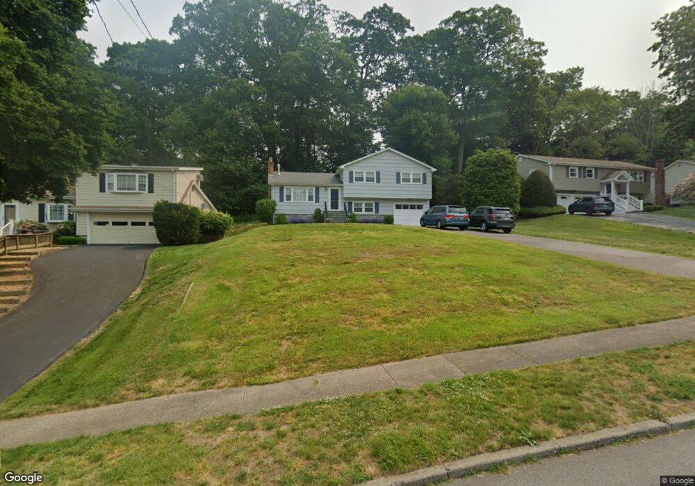
224 Carroll Rd Fairfield, CT 06824
University NeighborhoodEstimated Value: $760,000 - $933,000
3
Beds
3
Baths
1,156
Sq Ft
$721/Sq Ft
Est. Value
About This Home
This home is located at 224 Carroll Rd, Fairfield, CT 06824 and is currently estimated at $832,929, approximately $720 per square foot. 224 Carroll Rd is a home located in Fairfield County with nearby schools including Riverfield Elementary School, Roger Ludlowe Middle School, and Fairfield Ludlowe High School.
Ownership History
Date
Name
Owned For
Owner Type
Purchase Details
Closed on
May 31, 1995
Sold by
Gupton Atwood T and Gupton Vicky B
Bought by
Oshea Thomas M and Oshea Eileen R
Current Estimated Value
Purchase Details
Closed on
Jul 2, 1992
Sold by
Jordanopoulos E E and Jordanopoulos L
Bought by
Gupton Atwood T and Gutpon Vicky B
Create a Home Valuation Report for This Property
The Home Valuation Report is an in-depth analysis detailing your home's value as well as a comparison with similar homes in the area
Home Values in the Area
Average Home Value in this Area
Purchase History
| Date | Buyer | Sale Price | Title Company |
|---|---|---|---|
| Oshea Thomas M | $249,900 | -- | |
| Oshea Thomas M | $249,900 | -- | |
| Gupton Atwood T | $238,000 | -- |
Source: Public Records
Mortgage History
| Date | Status | Borrower | Loan Amount |
|---|---|---|---|
| Open | Gupton Atwood T | $326,700 | |
| Closed | Gupton Atwood T | $100,000 |
Source: Public Records
Tax History Compared to Growth
Tax History
| Year | Tax Paid | Tax Assessment Tax Assessment Total Assessment is a certain percentage of the fair market value that is determined by local assessors to be the total taxable value of land and additions on the property. | Land | Improvement |
|---|---|---|---|---|
| 2025 | $11,330 | $399,070 | $306,320 | $92,750 |
| 2024 | $11,134 | $399,070 | $306,320 | $92,750 |
| 2023 | $10,978 | $399,070 | $306,320 | $92,750 |
| 2022 | $10,871 | $399,070 | $306,320 | $92,750 |
| 2021 | $10,767 | $399,070 | $306,320 | $92,750 |
| 2020 | $10,042 | $374,850 | $303,100 | $71,750 |
| 2019 | $10,042 | $374,850 | $303,100 | $71,750 |
| 2018 | $9,881 | $374,850 | $303,100 | $71,750 |
| 2017 | $9,679 | $374,850 | $303,100 | $71,750 |
| 2016 | $9,540 | $374,850 | $303,100 | $71,750 |
| 2015 | $9,390 | $378,770 | $319,130 | $59,640 |
| 2014 | $9,242 | $378,770 | $319,130 | $59,640 |
Source: Public Records
Map
Nearby Homes
- 44 Deer Run Rd
- 66 Adams Rd
- 338 Orchard Hill Ln
- 105 Charter Oak Rd
- 33 Middlebrook Place
- 1207 Stillson Rd
- 25 Millspaugh Dr
- 1165 Stillson Rd
- 45 Robin Cir
- 1137 Stillson Rd
- 42 Robin Cir
- 2107 N Benson Rd
- 56 Drake Ln
- 359 Reid St
- 83 Pell Meadow Dr
- 68 Figlar Ave
- 232 Pell Meadow Dr
- 478 Crestwood Rd
- 254 Sherwood Farm Rd
- 115 Mayfair Rd
- 237 Carroll Rd
- 192 Carroll Rd
- 240 Carroll Rd
- 195 Carroll Rd
- 217 Carroll Rd
- 251 Carroll Rd
- 258 Carroll Rd
- 177 Carroll Rd
- 269 Carroll Rd
- 176 Carroll Rd
- 35 Orchard Hill Ln
- 55 Orchard Hill Ln
- 163 Carroll Rd
- 287 Carroll Rd
- 156 Carroll Rd
- 290 Carroll Rd
- 202 Woods End Rd
- 11 Orchard Hill Ln
- 233 Hanford Dr
- 218 Woods End Rd