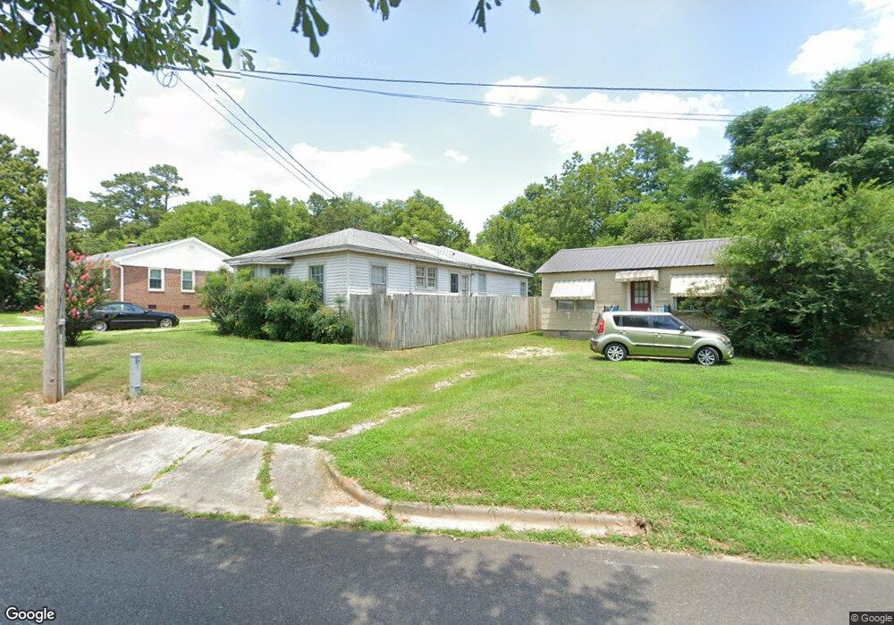
224 Carter Benton, AR 72015
Estimated Value: $135,431 - $216,000
Studio
1
Bath
1,560
Sq Ft
$118/Sq Ft
Est. Value
About This Home
This home is located at 224 Carter, Benton, AR 72015 and is currently estimated at $183,358, approximately $117 per square foot. 224 Carter is a home located in Saline County with nearby schools including Ringgold Elementary School, Benton Middle School, and Benton Junior High School.
Ownership History
Date
Name
Owned For
Owner Type
Purchase Details
Closed on
Jun 16, 2023
Sold by
Bell Robert Henry
Bought by
Bell Hillary
Current Estimated Value
Purchase Details
Closed on
Sep 10, 2007
Sold by
Spann Gregory E and Spann Frances L
Bought by
Bell Robert H
Home Financials for this Owner
Home Financials are based on the most recent Mortgage that was taken out on this home.
Original Mortgage
$85,500
Outstanding Balance
$54,547
Interest Rate
6.72%
Mortgage Type
New Conventional
Estimated Equity
$128,811
Purchase Details
Closed on
Sep 5, 2007
Sold by
Spann Gregory E and Spann Frances L
Bought by
Bell Robert H
Home Financials for this Owner
Home Financials are based on the most recent Mortgage that was taken out on this home.
Original Mortgage
$85,500
Outstanding Balance
$54,547
Interest Rate
6.72%
Mortgage Type
New Conventional
Estimated Equity
$128,811
Create a Home Valuation Report for This Property
The Home Valuation Report is an in-depth analysis detailing your home's value as well as a comparison with similar homes in the area
Home Values in the Area
Average Home Value in this Area
Purchase History
We collect this data history from publicly available records. To have your information removed, we recommend requesting removal directly through your county’s website.
| Date | Buyer | Sale Price | Title Company |
|---|---|---|---|
| Bell Hillary | -- | None Listed On Document | |
| Bell Robert H | -- | -- | |
| Bell Robert H | -- | -- |
Source: Public Records
Mortgage History
We collect this data history from publicly available records. To have your information removed, we recommend requesting removal directly through your county’s website.
| Date | Status | Borrower | Loan Amount |
|---|---|---|---|
| Open | Bell Robert H | $85,500 | |
| Closed | Bell Robert H | $85,500 |
Source: Public Records
Tax History
| Year | Tax Paid | Tax Assessment Tax Assessment Total Assessment is a certain percentage of the fair market value that is determined by local assessors to be the total taxable value of land and additions on the property. | Land | Improvement |
|---|---|---|---|---|
| 2025 | $1,190 | $21,634 | $3,500 | $18,134 |
| 2024 | $1,218 | $21,634 | $3,500 | $18,134 |
| 2023 | $1,099 | $21,634 | $3,500 | $18,134 |
| 2022 | $1,007 | $21,634 | $3,500 | $18,134 |
| 2021 | $916 | $16,530 | $2,500 | $14,030 |
| 2020 | $916 | $16,530 | $2,500 | $14,030 |
| 2019 | $916 | $16,530 | $2,500 | $14,030 |
| 2018 | $880 | $16,530 | $2,500 | $14,030 |
| 2017 | $807 | $16,530 | $2,500 | $14,030 |
| 2016 | $752 | $13,260 | $2,000 | $11,260 |
| 2015 | $739 | $13,260 | $2,000 | $11,260 |
| 2014 | $744 | $0 | $0 | $0 |
Source: Public Records
Map
Nearby Homes
Your Personal Tour Guide
Ask me questions while you tour the home.