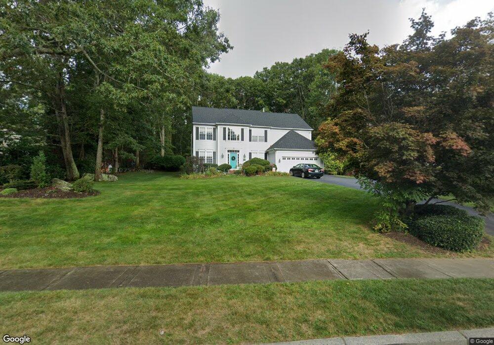
224 Castle Rocks Rd Warwick, RI 02886
Cowesett NeighborhoodEstimated Value: $830,107 - $1,038,000
4
Beds
3
Baths
3,734
Sq Ft
$251/Sq Ft
Est. Value
About This Home
This home is located at 224 Castle Rocks Rd, Warwick, RI 02886 and is currently estimated at $936,027, approximately $250 per square foot. 224 Castle Rocks Rd is a home located in Kent County with nearby schools including Our Lady of Mercy School.
Ownership History
Date
Name
Owned For
Owner Type
Purchase Details
Closed on
Aug 19, 2009
Sold by
Mardian Timothy A and Williams Tracey A
Bought by
Rai Brijesh K and Rai Rakhi
Current Estimated Value
Purchase Details
Closed on
May 27, 1999
Sold by
Pulte Home Corp Ne
Bought by
Mardian Timothy A and Williams Tracy A
Create a Home Valuation Report for This Property
The Home Valuation Report is an in-depth analysis detailing your home's value as well as a comparison with similar homes in the area
Home Values in the Area
Average Home Value in this Area
Purchase History
| Date | Buyer | Sale Price | Title Company |
|---|---|---|---|
| Rai Brijesh K | $463,000 | -- | |
| Mardian Timothy A | $268,000 | -- | |
| Rai Brijesh K | $463,000 | -- | |
| Mardian Timothy A | $268,000 | -- |
Source: Public Records
Mortgage History
| Date | Status | Borrower | Loan Amount |
|---|---|---|---|
| Open | Mardian Timothy A | $385,000 | |
| Closed | Mardian Timothy A | $405,000 |
Source: Public Records
Tax History
| Year | Tax Paid | Tax Assessment Tax Assessment Total Assessment is a certain percentage of the fair market value that is determined by local assessors to be the total taxable value of land and additions on the property. | Land | Improvement |
|---|---|---|---|---|
| 2025 | $8,274 | $651,500 | $157,400 | $494,100 |
| 2024 | $8,738 | $603,900 | $136,700 | $467,200 |
| 2023 | $8,569 | $603,900 | $136,700 | $467,200 |
| 2022 | $8,715 | $465,300 | $102,500 | $362,800 |
| 2021 | $8,715 | $465,300 | $102,500 | $362,800 |
| 2020 | $8,715 | $465,300 | $102,500 | $362,800 |
| 2019 | $8,715 | $465,300 | $102,500 | $362,800 |
| 2018 | $8,406 | $415,300 | $102,500 | $312,800 |
| 2017 | $8,406 | $415,300 | $102,500 | $312,800 |
| 2016 | $8,406 | $415,300 | $102,500 | $312,800 |
| 2015 | $8,790 | $423,600 | $103,500 | $320,100 |
| 2014 | $8,497 | $423,600 | $103,500 | $320,100 |
| 2013 | $8,383 | $423,600 | $103,500 | $320,100 |
Source: Public Records
Map
Nearby Homes
- 442 Sleepy Hollow Farm Rd
- 486 Greenbush Rd
- 510 Greenbush Rd
- 520 Greenbush Rd
- 181 Heritage Dr
- 146 Edmond Dr
- 33 Eagle Run
- 37 Eagle Run Unit 37B
- 10 Arrowhead Way
- 2 Eagle Run
- 52 Bruce Ln
- 0 Cedar St
- 39 Ledge Rd
- 0 Spencer Ave
- 155 Birkshire Dr
- 28 Hill Top Dr
- 24 Hyland Ave
- 51 Hesper Dr
- 246 Spencer Woods Dr
- 123 Cowesett Rd
- 236 Castle Rocks Rd
- 208 Castle Rocks Rd
- 229 Castle Rocks Rd
- 250 Castle Rocks Rd
- 217 Castle Rocks Rd
- 188 Castle Rocks Rd
- 237 Castle Rocks Rd
- 172 Castle Rocks Rd
- 264 Castle Rocks Rd
- 205 Castle Rocks Rd
- 247 Castle Rocks Rd
- 160 Castle Rocks Rd
- 197 Castle Rocks Rd
- 255 Castle Rocks Rd
- 282 Castle Rocks Rd
- 187 Castle Rocks Rd
- 1 Sandy Brook Ct
- 294 Castle Rocks Rd
- 269 Castle Rocks Rd
- 154 Shadow Brook Dr
Your Personal Tour Guide
Ask me questions while you tour the home.