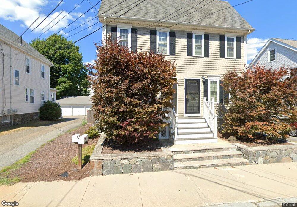
224 Robbins St Unit 2 Waltham, MA 02453
South Side NeighborhoodEstimated Value: $691,000 - $737,635
3
Beds
2
Baths
1,340
Sq Ft
$540/Sq Ft
Est. Value
About This Home
This home is located at 224 Robbins St Unit 2, Waltham, MA 02453 and is currently estimated at $723,409, approximately $539 per square foot. 224 Robbins St Unit 2 is a home located in Middlesex County with nearby schools including Henry Whittemore Elementary School, John W. Mcdevitt Middle School, and Waltham Sr High School.
Ownership History
Date
Name
Owned For
Owner Type
Purchase Details
Closed on
Jun 29, 2006
Sold by
Sachem Rt and Beaton Curtis
Bought by
Ng Karen
Current Estimated Value
Home Financials for this Owner
Home Financials are based on the most recent Mortgage that was taken out on this home.
Original Mortgage
$317,600
Outstanding Balance
$187,822
Interest Rate
6.58%
Mortgage Type
Purchase Money Mortgage
Estimated Equity
$535,587
Create a Home Valuation Report for This Property
The Home Valuation Report is an in-depth analysis detailing your home's value as well as a comparison with similar homes in the area
Home Values in the Area
Average Home Value in this Area
Purchase History
| Date | Buyer | Sale Price | Title Company |
|---|---|---|---|
| Ng Karen | $397,000 | -- |
Source: Public Records
Mortgage History
| Date | Status | Borrower | Loan Amount |
|---|---|---|---|
| Open | Ng Karen | $317,600 |
Source: Public Records
Tax History Compared to Growth
Tax History
| Year | Tax Paid | Tax Assessment Tax Assessment Total Assessment is a certain percentage of the fair market value that is determined by local assessors to be the total taxable value of land and additions on the property. | Land | Improvement |
|---|---|---|---|---|
| 2025 | $6,395 | $651,200 | $0 | $651,200 |
| 2024 | $6,671 | $692,000 | $0 | $692,000 |
| 2023 | $6,937 | $672,200 | $0 | $672,200 |
| 2022 | $6,434 | $577,600 | $0 | $577,600 |
| 2021 | $6,185 | $546,400 | $0 | $546,400 |
| 2020 | $7,267 | $608,100 | $0 | $608,100 |
| 2019 | $6,825 | $539,100 | $0 | $539,100 |
| 2018 | $5,628 | $446,300 | $0 | $446,300 |
| 2017 | $5,756 | $458,300 | $0 | $458,300 |
| 2016 | $6,386 | $521,700 | $0 | $521,700 |
| 2015 | $6,189 | $471,400 | $0 | $471,400 |
Source: Public Records
Map
Nearby Homes
- 25 Tolman St Unit 2
- 24 Tolman St Unit A
- 138 Myrtle St Unit 2
- 162 Myrtle St Unit 1
- 31-37 Washington Ave
- 81 Alder St
- 312 Newton St Unit 1A
- 47 Alder St Unit 6
- 40 Myrtle St Unit 9
- 308 Newton St Unit 1
- 42 Alder St
- 659 Moody St Unit 2
- 15 Alder St Unit 1
- 75 Cherry St
- 39 Clinton St Unit 2
- 39 Clinton St Unit 1
- 73 Orange St Unit 2
- 61 Hall St Unit 9
- 61 Hall St Unit 7
- 5-7 Chester Ave
- 224 Robbins St Unit 1
- 216 Robbins St
- 399 Newton St
- 214 Robbins St
- 393 Newton St
- 393 Newton St Unit 1
- 223 Robbins St Unit 2
- 223 Robbins St Unit 1
- 221 Robbins St
- 217 Robbins St
- 389 Newton St Unit 391
- 227 Robbins St
- 210 Robbins St Unit 212
- 215 Robbins St
- 212 Robbins St Unit 1
- 212 Robbins St
- 212 Robbins St Unit 212
- 215 Brown St
- 215 Brown St Unit 2
- 2 Tolman St