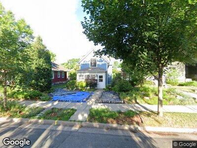
224 Sheridan Ave S Minneapolis, MN 55405
Bryn Mawr NeighborhoodEstimated Value: $507,000 - $556,000
3
Beds
3
Baths
1,333
Sq Ft
$403/Sq Ft
Est. Value
About This Home
This home is located at 224 Sheridan Ave S, Minneapolis, MN 55405 and is currently estimated at $536,814, approximately $402 per square foot. 224 Sheridan Ave S is a home located in Hennepin County with nearby schools including Bryn Mawr Elementary School, Anwatin Middle School, and North Community High School.
Ownership History
Date
Name
Owned For
Owner Type
Purchase Details
Closed on
Jul 25, 2008
Sold by
Papke Michael P and Papke Kristin J
Bought by
Carlson Yunga Ann C and Chicaiza Juan Yung
Current Estimated Value
Purchase Details
Closed on
Aug 21, 1997
Sold by
Day Theresa
Bought by
Papke Michael P
Create a Home Valuation Report for This Property
The Home Valuation Report is an in-depth analysis detailing your home's value as well as a comparison with similar homes in the area
Home Values in the Area
Average Home Value in this Area
Purchase History
| Date | Buyer | Sale Price | Title Company |
|---|---|---|---|
| Carlson Yunga Ann C | $336,000 | -- | |
| Papke Michael P | $32,000 | -- |
Source: Public Records
Mortgage History
| Date | Status | Borrower | Loan Amount |
|---|---|---|---|
| Open | Yunga Chicaiza Juan A | $62,800 | |
| Open | Carlson Yunga Ann C | $301,640 |
Source: Public Records
Tax History Compared to Growth
Tax History
| Year | Tax Paid | Tax Assessment Tax Assessment Total Assessment is a certain percentage of the fair market value that is determined by local assessors to be the total taxable value of land and additions on the property. | Land | Improvement |
|---|---|---|---|---|
| 2023 | $6,253 | $481,000 | $179,000 | $302,000 |
| 2022 | $5,811 | $457,000 | $163,000 | $294,000 |
| 2021 | $5,323 | $421,000 | $133,000 | $288,000 |
| 2020 | $5,637 | $382,500 | $120,100 | $262,400 |
| 2019 | $5,805 | $375,000 | $120,100 | $254,900 |
| 2018 | $5,342 | $375,000 | $120,100 | $254,900 |
| 2017 | $5,360 | $337,000 | $109,200 | $227,800 |
| 2016 | $4,955 | $321,000 | $109,200 | $211,800 |
| 2015 | $5,207 | $310,500 | $109,200 | $201,300 |
| 2014 | -- | $270,000 | $109,200 | $160,800 |
Source: Public Records
Map
Nearby Homes
- 2323 Laurel Ave
- 428 Sheridan Ave S
- 241 Queen Ave S
- 8 Queen Ave S
- 437 Upton Ave S
- 601 Queen Ave S
- 720 Cedar Lake Rd S
- 2110 Hawthorne Ave
- 2111 2nd Ave N
- 632 Morgan Ave S
- 319 Vincent Ave N
- 1911 Laurel Ave
- 1045 Thomas Ave S
- 2011 3rd Ave N
- 1058 Cedar View Dr
- 1112 Vincent Ave S
- 1806 Chestnut Ave
- 1925 Glenwood Ave
- 1600 Kenwood Pkwy
- 1700 Kenwood Pkwy
- 224 Sheridan Ave S
- 220 Sheridan Ave S
- 228 Sheridan Ave S
- 216 Sheridan Ave S
- 232 Sheridan Ave S
- 212 Sheridan Ave S
- 236 Sheridan Ave S
- 225 Thomas Ave S
- 221 Thomas Ave S
- 229 Thomas Ave S
- 208 Sheridan Ave S
- 240 Sheridan Ave S
- 217 Thomas Ave S
- 233 Thomas Ave S
- 215 Thomas Ave S
- 237 Thomas Ave S
- 225 Sheridan Ave S
- 221 Sheridan Ave S
- 229 Sheridan Ave S
- 204 Sheridan Ave S