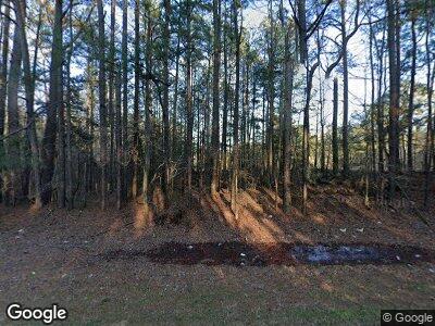
2244 Highway 35 S Kosciusko, MS 39090
Estimated Value: $118,000 - $270,624
--
Bed
--
Bath
4,107
Sq Ft
$52/Sq Ft
Est. Value
About This Home
This home is located at 2244 Highway 35 S, Kosciusko, MS 39090 and is currently estimated at $214,541, approximately $52 per square foot. 2244 Highway 35 S is a home with nearby schools including Kosciusko Lower Elementary School, Kosciusko Middle School, and Kosciusko Upper Elementary.
Ownership History
Date
Name
Owned For
Owner Type
Purchase Details
Closed on
Nov 20, 2014
Sold by
Blair Daviid and Blair Blair
Bought by
Blair David and Blair Christi A
Current Estimated Value
Home Financials for this Owner
Home Financials are based on the most recent Mortgage that was taken out on this home.
Original Mortgage
$45,000
Interest Rate
4.03%
Mortgage Type
Unknown
Create a Home Valuation Report for This Property
The Home Valuation Report is an in-depth analysis detailing your home's value as well as a comparison with similar homes in the area
Home Values in the Area
Average Home Value in this Area
Purchase History
| Date | Buyer | Sale Price | Title Company |
|---|---|---|---|
| Blair David | -- | -- |
Source: Public Records
Mortgage History
| Date | Status | Borrower | Loan Amount |
|---|---|---|---|
| Open | Blair David H | $236,250 | |
| Closed | Blair David H | $242,000 | |
| Closed | Blair David Houston | $30,636 | |
| Closed | Blair David | $225,000 | |
| Closed | Blair David | $45,000 | |
| Previous Owner | Blair David H | $204,000 | |
| Previous Owner | Blair David H | $9,064,959 |
Source: Public Records
Tax History Compared to Growth
Tax History
| Year | Tax Paid | Tax Assessment Tax Assessment Total Assessment is a certain percentage of the fair market value that is determined by local assessors to be the total taxable value of land and additions on the property. | Land | Improvement |
|---|---|---|---|---|
| 2024 | $2,443 | $26,102 | $1,086 | $25,016 |
| 2023 | $2,279 | $24,245 | $1,090 | $23,155 |
| 2022 | $2,305 | $24,248 | $1,093 | $23,155 |
| 2021 | $2,305 | $24,252 | $1,097 | $23,155 |
| 2020 | $2,329 | $24,255 | $1,100 | $23,155 |
| 2019 | $2,296 | $23,896 | $954 | $22,942 |
| 2018 | $2,296 | $23,890 | $948 | $22,942 |
| 2017 | $1,755 | $18,917 | $942 | $17,975 |
| 2016 | $1,755 | $18,905 | $930 | $17,975 |
| 2015 | -- | $18,406 | $917 | $17,489 |
| 2014 | -- | $18,395 | $906 | $17,489 |
| 2013 | -- | $18,387 | $898 | $17,489 |
Source: Public Records
Map
Nearby Homes
- 0 Old State Hwy 35 S Unit 11364850
- 0 County Road 1113
- 0 Hwy 43 Unit 4044641
- 1 Cr4033
- 5571 County Line Rd
- 17834 Williamsville Rd
- 2432 Attala Rd
- 3419 Attala
- 01 Hwy 35 N
- 16996 Highway 14
- 0 Mississippi 14
- 922 Linden Dr
- 0 Natchez Trace Pkwy
- Highway 14 Natchez Trace Pkwy
- 0 Redwing Ave
- 0 Cr 4022 Unit 24-1846
- 480 Veterans Memorial Dr
- 610 Hickory Hill Dr
- 705 S Natchez St
- 4201 Attala Road 4171
- 2244 Highway 35 S
- 2376 Highway 35 S
- 2423 Highway 35 S
- 2131 Highway 35 S
- 2550 Highway 35 S
- 2158 Highway 35 S
- 6205 Attala Road 1107
- 4965 Attala Road 1010
- 2590 Highway 35 S
- 0 King Rd Unit 241569
- 0 King Rd Unit 1241569
- 4905 Attala Road 1010
- 4789 Attala Road 1010
- 1958 Highway 35 S
- 2033 Attala Road 1016
- 4900 Attala Road 1010
- 4601 Attala Road 1010
- 4373 Attala Road 1010
- 1550 Highway 35 S
- 4341 Attala Road 1010
