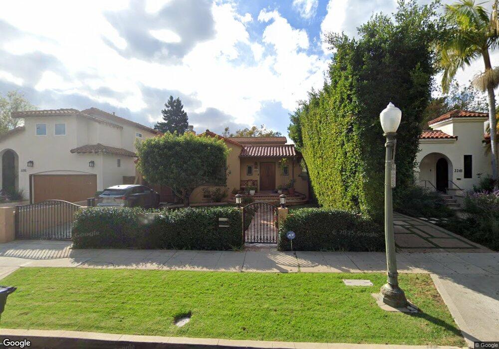
2247 Manning Ave Los Angeles, CA 90064
West Los Angeles NeighborhoodEstimated Value: $2,081,000 - $2,428,000
4
Beds
4
Baths
2,200
Sq Ft
$1,024/Sq Ft
Est. Value
About This Home
This home is located at 2247 Manning Ave, Los Angeles, CA 90064 and is currently estimated at $2,252,911, approximately $1,024 per square foot. 2247 Manning Ave is a home located in Los Angeles County with nearby schools including Daniel Webster Middle School, Westwood Charter School, and Ralph Waldo Emerson Community Charter Middle School.
Ownership History
Date
Name
Owned For
Owner Type
Purchase Details
Closed on
Sep 28, 2006
Sold by
Negev Omer and Negev Paloma
Bought by
Rosenstock Harvey J
Current Estimated Value
Home Financials for this Owner
Home Financials are based on the most recent Mortgage that was taken out on this home.
Original Mortgage
$1,000,000
Interest Rate
6.09%
Mortgage Type
Purchase Money Mortgage
Purchase Details
Closed on
May 24, 2005
Sold by
Wingfield Eric H and The Audrey L Wingfield Family
Bought by
Negev Omer
Home Financials for this Owner
Home Financials are based on the most recent Mortgage that was taken out on this home.
Original Mortgage
$772,000
Interest Rate
5.5%
Mortgage Type
New Conventional
Create a Home Valuation Report for This Property
The Home Valuation Report is an in-depth analysis detailing your home's value as well as a comparison with similar homes in the area
Home Values in the Area
Average Home Value in this Area
Purchase History
| Date | Buyer | Sale Price | Title Company |
|---|---|---|---|
| Rosenstock Harvey J | $1,365,000 | Equity Title Company | |
| Negev Omer | $965,000 | Fidelity National Title Co |
Source: Public Records
Mortgage History
| Date | Status | Borrower | Loan Amount |
|---|---|---|---|
| Previous Owner | Rosenstock Harvey J | $1,000,000 | |
| Previous Owner | Negev Omer | $772,000 | |
| Closed | Negev Omer | $96,500 |
Source: Public Records
Tax History Compared to Growth
Tax History
| Year | Tax Paid | Tax Assessment Tax Assessment Total Assessment is a certain percentage of the fair market value that is determined by local assessors to be the total taxable value of land and additions on the property. | Land | Improvement |
|---|---|---|---|---|
| 2025 | $11,387 | $934,222 | $747,387 | $186,835 |
| 2024 | $11,387 | $915,905 | $732,733 | $183,172 |
| 2023 | $11,173 | $897,947 | $718,366 | $179,581 |
| 2022 | $10,662 | $880,341 | $704,281 | $176,060 |
| 2021 | $10,525 | $863,080 | $690,472 | $172,608 |
| 2019 | $10,214 | $837,484 | $669,994 | $167,490 |
| 2018 | $10,095 | $821,063 | $656,857 | $164,206 |
| 2016 | $9,649 | $789,182 | $631,351 | $157,831 |
| 2015 | $9,508 | $777,329 | $621,868 | $155,461 |
| 2014 | $9,544 | $762,103 | $609,687 | $152,416 |
Source: Public Records
Map
Nearby Homes
- 2203 Pelham Ave
- 2215 Prosser Ave
- 2147 Malcolm Ave
- 2030 Pelham Ave
- 1951 Manning Ave
- 2234 Midvale Ave
- 2157 Linnington Ave
- 1920 Pelham Ave Unit 101
- 1925 Overland Ave Unit 202
- 1933 Selby Ave Unit 301
- 1916 Overland Ave Unit 2
- 10456 Almayo Ave
- 2327 Midvale Ave
- 1944 Glendon Ave Unit 209
- 2301 S Beverly Glen Blvd Unit 102
- 2175 S Beverly Glen Blvd Unit 403
- 2323 S Beverly Glen Blvd Unit 9
- 1951 Glendon Ave
- 10517 Blythe Ave
- 10559 Cushdon Ave
- 2241 Manning Ave
- 2251 Manning Ave
- 2257 Manning Ave
- 2237 Manning Ave
- 2246 Pelham Ave
- 2261 Manning Ave
- 2240 Pelham Ave
- 2231 Manning Ave
- 2250 Pelham Ave
- 2236 Pelham Ave
- 2256 Pelham Ave
- 2265 Manning Ave
- 2227 Manning Ave
- 2244 Manning Ave
- 2230 Pelham Ave
- 2250 Manning Ave
- 2240 Manning Ave
- 2260 Pelham Ave
- 2254 Manning Ave
- 2236 Manning Ave