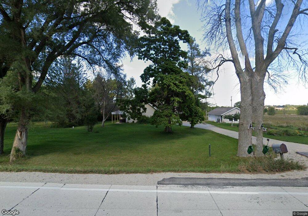
22489 County 1 Spring Valley, MN 55975
Estimated Value: $392,000 - $514,210
3
Beds
2
Baths
2,078
Sq Ft
$215/Sq Ft
Est. Value
About This Home
This home is located at 22489 County 1, Spring Valley, MN 55975 and is currently estimated at $446,053, approximately $214 per square foot. 22489 County 1 is a home located in Fillmore County with nearby schools including Kingsland Elementary School, Kingsland Middle School, and Kingsland Junior/Senior High School.
Ownership History
Date
Name
Owned For
Owner Type
Purchase Details
Closed on
Apr 26, 2012
Sold by
Braband Roxanne and Braband Larry G
Bought by
Braband Roxanne and Braband Larry G
Current Estimated Value
Purchase Details
Closed on
Apr 29, 2011
Sold by
Reiland Donald A
Bought by
Braband Roxanne and Gondert Larry G
Home Financials for this Owner
Home Financials are based on the most recent Mortgage that was taken out on this home.
Original Mortgage
$196,200
Interest Rate
4.86%
Mortgage Type
New Conventional
Create a Home Valuation Report for This Property
The Home Valuation Report is an in-depth analysis detailing your home's value as well as a comparison with similar homes in the area
Home Values in the Area
Average Home Value in this Area
Purchase History
| Date | Buyer | Sale Price | Title Company |
|---|---|---|---|
| Braband Roxanne | -- | None Available | |
| Braband Roxanne | $218,000 | None Available |
Source: Public Records
Mortgage History
| Date | Status | Borrower | Loan Amount |
|---|---|---|---|
| Previous Owner | Braband Roxanne | $196,200 |
Source: Public Records
Tax History Compared to Growth
Tax History
| Year | Tax Paid | Tax Assessment Tax Assessment Total Assessment is a certain percentage of the fair market value that is determined by local assessors to be the total taxable value of land and additions on the property. | Land | Improvement |
|---|---|---|---|---|
| 2025 | $3,280 | $484,800 | $140,900 | $343,900 |
| 2024 | $3,280 | $401,800 | $116,700 | $285,100 |
| 2023 | $2,942 | $401,800 | $116,700 | $285,100 |
| 2022 | $2,446 | $359,100 | $140,800 | $218,300 |
| 2021 | $2,446 | $281,100 | $118,200 | $162,900 |
| 2020 | $2,494 | $281,100 | $118,200 | $162,900 |
| 2019 | $2,242 | $300,400 | $118,500 | $181,900 |
| 2018 | $2,036 | $300,400 | $118,500 | $181,900 |
| 2017 | -- | $286,300 | $109,200 | $177,100 |
| 2016 | $2,198 | $278,800 | $101,700 | $177,100 |
| 2015 | $2,238 | $285,300 | $108,663 | $176,637 |
| 2014 | $2,238 | $278,300 | $108,821 | $169,479 |
| 2013 | $2,238 | $256,200 | $96,218 | $159,982 |
Source: Public Records
Map
Nearby Homes
- XXX Sata Dr
- 213 W Fremont St
- 313 N Hudson Ave
- 528 N Broadway St
- 517 Warren Ave
- 700 S Section Ave
- 712 Memorial Dr
- 321 N Section Ave
- 709 Mlinar Ave
- 409 Center Ave
- 113 E Fairview St
- 505 E Farmer St
- XXX 256th St
- xxx Highway 63
- xxx 265th St
- 79275 267th St
- 504 Minnesota St
- 26269 Old Shady Wood Dr
- 12 Pine Ave SE
- TBD Harrison Ave NE
- 22489 County 1
- 22539 County 1
- 22362 County 1
- 22659 County 1
- 809 W Park St
- 22237 County 1
- 12030 236th St
- XXX Pheasant Ridge
- 605 W Park St
- 606 W Park St
- 12194 236th St
- 534 S Parsons Ave
- 528 Parsons St
- 516 516 Parsons Ave
- 516 S Parsons Ave
- 424 Parsons Ave
- 528 S Parsons Ave
- 603 W Park St
- 12272 236th St
- 524 W High St