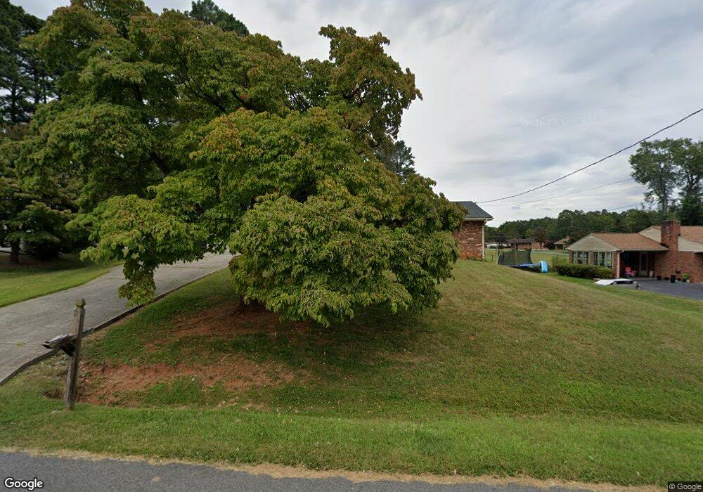
225 Bryant Rd Lynchburg, VA 24502
Estimated Value: $264,376 - $317,000
3
Beds
2
Baths
1,626
Sq Ft
$178/Sq Ft
Est. Value
About This Home
This home is located at 225 Bryant Rd, Lynchburg, VA 24502 and is currently estimated at $288,844, approximately $177 per square foot. 225 Bryant Rd is a home located in Lynchburg City with nearby schools including Sandusky Elementary School, Sandusky Middle School, and Heritage High School.
Ownership History
Date
Name
Owned For
Owner Type
Purchase Details
Closed on
Jan 12, 2021
Sold by
Langhorne Trust
Bought by
Haynes Thelma S
Current Estimated Value
Purchase Details
Closed on
Jun 8, 2016
Sold by
Langhorne William D
Bought by
Langhorne William D and William D Langhorne Revocable Living Tr
Purchase Details
Closed on
May 4, 2010
Sold by
Langhorne William D and Langhorne Fannie T
Bought by
Langhorne William D and The William D Langhorne Revocable Trust
Create a Home Valuation Report for This Property
The Home Valuation Report is an in-depth analysis detailing your home's value as well as a comparison with similar homes in the area
Home Values in the Area
Average Home Value in this Area
Purchase History
| Date | Buyer | Sale Price | Title Company |
|---|---|---|---|
| Haynes Thelma S | -- | None Available | |
| Langhorne William D | -- | None Available | |
| Langhorne William D | -- | None Available |
Source: Public Records
Tax History Compared to Growth
Tax History
| Year | Tax Paid | Tax Assessment Tax Assessment Total Assessment is a certain percentage of the fair market value that is determined by local assessors to be the total taxable value of land and additions on the property. | Land | Improvement |
|---|---|---|---|---|
| 2025 | $1,984 | $236,200 | $40,000 | $196,200 |
| 2024 | $1,866 | $209,700 | $40,000 | $169,700 |
| 2023 | $1,866 | $209,700 | $40,000 | $169,700 |
| 2022 | $1,828 | $164,700 | $32,000 | $132,700 |
| 2021 | $1,828 | $164,700 | $32,000 | $132,700 |
| 2020 | $1,845 | $166,200 | $32,000 | $134,200 |
| 2019 | $1,845 | $166,200 | $32,000 | $134,200 |
| 2018 | $1,755 | $158,100 | $30,000 | $128,100 |
| 2017 | $1,755 | $158,100 | $30,000 | $128,100 |
| 2016 | $1,722 | $155,100 | $27,000 | $128,100 |
| 2015 | $430 | $155,100 | $27,000 | $128,100 |
| 2014 | $430 | $163,300 | $27,000 | $136,300 |
Source: Public Records
Map
Nearby Homes
- 106 Omega Ct
- 52 Viking Dr
- 308 Woodberry Ln
- 47 Viking Dr
- 109 Jonathans Landing
- 206 Creekview Ct
- 118 Riverbirch Trace
- 109 Blumont Dr
- 0 Forest Rd
- 1085 Tori Ct
- 206 Simsbury Ln
- 202 Hounds Run
- 105 Simsbury Ln
- 112 Forest Dale Dr
- 1157 Sleepy Oak Ln
- 148 Cobblestone Dr
- 1 Cottontown Rd
- 200 Jefferson Ridge Pkwy
- 217 Towne Crier Rd
- 114 Thornfield Dr