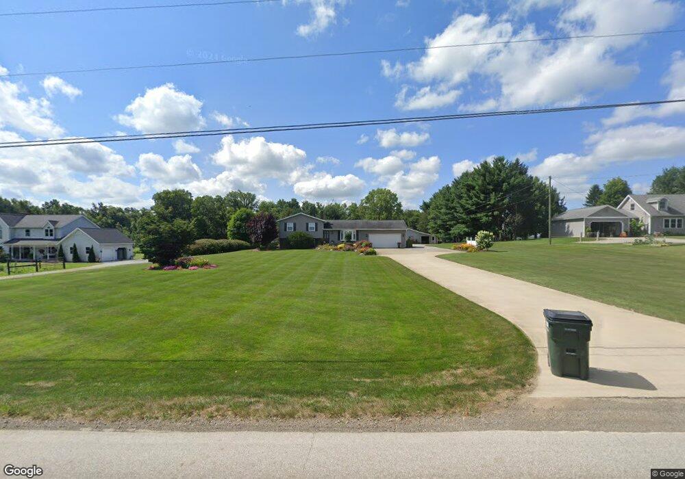
2255 E Moreland Rd Wooster, OH 44691
Estimated Value: $303,962 - $397,000
3
Beds
1
Bath
1,232
Sq Ft
$281/Sq Ft
Est. Value
About This Home
This home is located at 2255 E Moreland Rd, Wooster, OH 44691 and is currently estimated at $346,491, approximately $281 per square foot. 2255 E Moreland Rd is a home located in Wayne County with nearby schools including Triway High School, Sunny Meadow, and Nebo Valley.
Ownership History
Date
Name
Owned For
Owner Type
Purchase Details
Closed on
Nov 9, 2018
Sold by
Martin James A and Martin Traci A
Bought by
Schlabach Marie P and Schlabach Sylvia P
Current Estimated Value
Home Financials for this Owner
Home Financials are based on the most recent Mortgage that was taken out on this home.
Original Mortgage
$184,000
Outstanding Balance
$139,296
Interest Rate
4.7%
Mortgage Type
Future Advance Clause Open End Mortgage
Estimated Equity
$207,195
Purchase Details
Closed on
Jan 1, 1987
Bought by
Martin James A and Martin Traci A
Create a Home Valuation Report for This Property
The Home Valuation Report is an in-depth analysis detailing your home's value as well as a comparison with similar homes in the area
Home Values in the Area
Average Home Value in this Area
Purchase History
| Date | Buyer | Sale Price | Title Company |
|---|---|---|---|
| Schlabach Marie P | $230,000 | Monroe Street Title Company | |
| Martin James A | -- | -- |
Source: Public Records
Mortgage History
| Date | Status | Borrower | Loan Amount |
|---|---|---|---|
| Open | Schlabach Marie P | $184,000 |
Source: Public Records
Tax History Compared to Growth
Tax History
| Year | Tax Paid | Tax Assessment Tax Assessment Total Assessment is a certain percentage of the fair market value that is determined by local assessors to be the total taxable value of land and additions on the property. | Land | Improvement |
|---|---|---|---|---|
| 2024 | $3,391 | $98,010 | $24,910 | $73,100 |
| 2023 | $3,391 | $98,010 | $24,910 | $73,100 |
| 2022 | $2,535 | $67,130 | $17,060 | $50,070 |
| 2021 | $2,541 | $67,130 | $17,060 | $50,070 |
| 2020 | $2,943 | $67,130 | $17,060 | $50,070 |
| 2019 | $2,162 | $54,860 | $10,970 | $43,890 |
| 2018 | $2,201 | $54,860 | $10,970 | $43,890 |
| 2017 | $2,191 | $54,860 | $10,970 | $43,890 |
| 2016 | $1,930 | $47,700 | $9,540 | $38,160 |
| 2015 | $1,886 | $47,700 | $9,540 | $38,160 |
| 2014 | $1,888 | $47,700 | $9,540 | $38,160 |
| 2013 | $1,889 | $47,530 | $8,690 | $38,840 |
Source: Public Records
Map
Nearby Homes
- 0 E Moreland Rd
- 7904 Hoy Rd
- 0 Nonpariel Rd
- 4554 E Moreland Rd
- 6424 S Honeytown Rd
- 591 N Mill St Unit D
- 591 N Mill St Unit C
- 591 N Mill St Unit A
- 591 N Mill St Unit B
- 591 N Mill St
- 3433 Fredericksburg Rd
- 3979 Batdorf Rd
- 2844 Morning Hill Dr
- 0 Batdorf Rd
- 1131 Curtwood Dr
- 4622 S Apple Creek Rd
- 3532 Triway Ln
- 2754 Millersburg Rd
- 2560 Rutt Ct
- 1970 Batdorf Rd